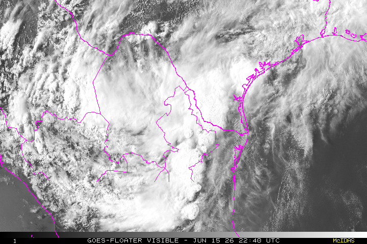
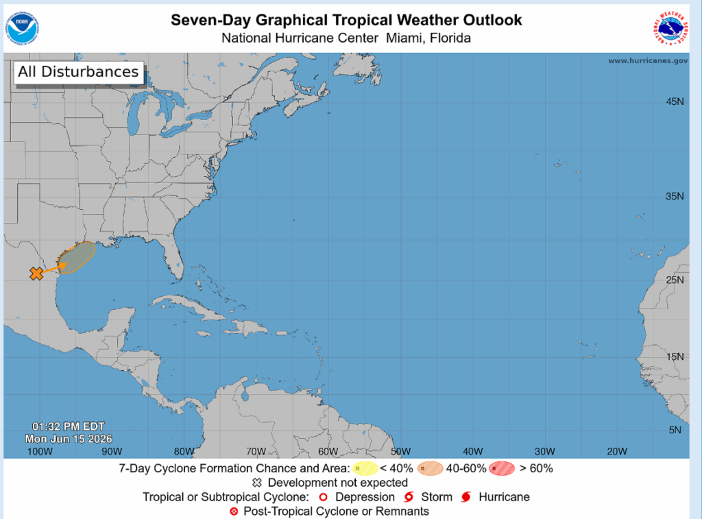
The National Hurricane Center has identified an area off the Texas coast for potential development. Right now, they show a 50% chance of tropical development during the next seven days, meaning it’s possible but far from certain. The disturbance is currently a weak area of low pressure located inland across southern Texas and northern Mexico. It is expected to remain inland for another day or so before potentially moving back over the Gulf late Tuesday or Wednesday.
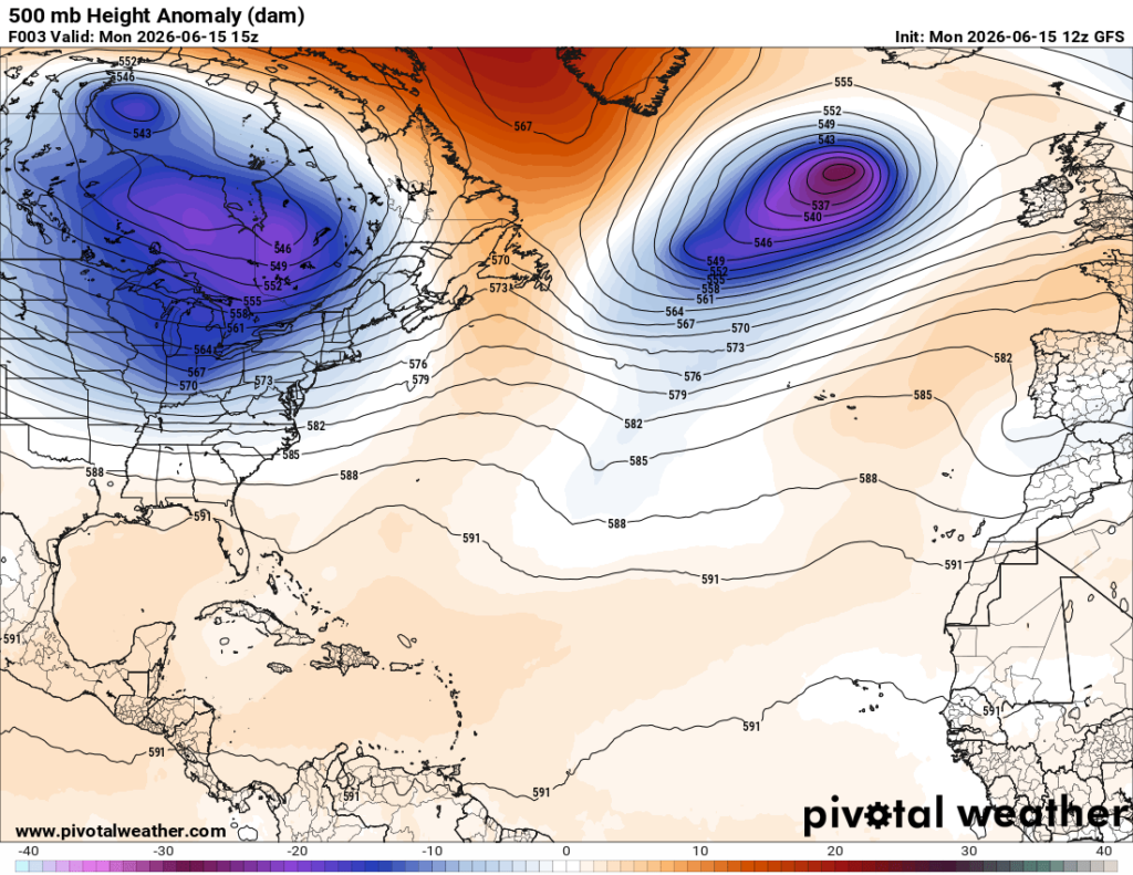
If this disturbance makes it back over the Gulf, there are somewhat favorable conditions for a short-lived tropical system to develop sometime Wednesday into Thursday. Right now, we’ve got weak ridging over the Gulf and warm water in place.
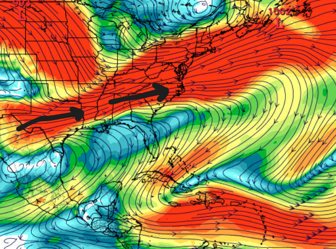
Conditions aren’t favorable for any significant development though, mainly due to strong wind shear. Wind shear is the change in wind speed/direction with height, and there is quite a bit around right now (shown in red below), which will tear this system apart, keeping whatever may develop very loosely organized.
Also, model guidance is in pretty good agreement that whatever develops will hug the Texas coastline, before potentially affecting portions of Louisiana and Mississippi. Being in such close proximity to land and away from warm Gulf waters would hinder any further development.
Regardless of whether a tropical cyclone forms, widespread showers and thunderstorms are expected across eastern Texas and portions of Louisiana and Mississippi through Thursday. The main concerns will be periods of intense rainfall that could lead to localized flash flooding, along with gusty winds and coastal flooding.