Howdy!
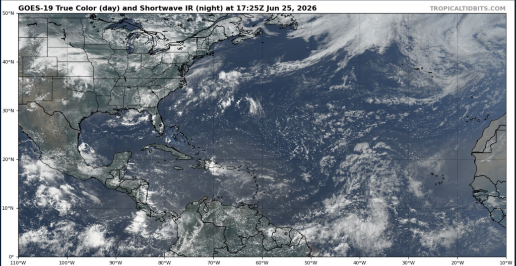
Looking out the window into the Atlantic, we can see that there is not a lot going on, some convection associated with tropical waves, but not enough to develop into a tropical disturbance.
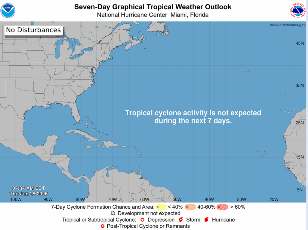
After Tropical Storm Arthur passed through last week, things in the Atlantic are relatively quiet looking into the future. No disturbance is expected for the next 7 days, and there is ridging and high pressure suppressing any development within the gulf and in the Atlantic.
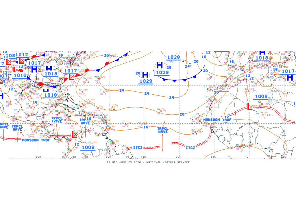
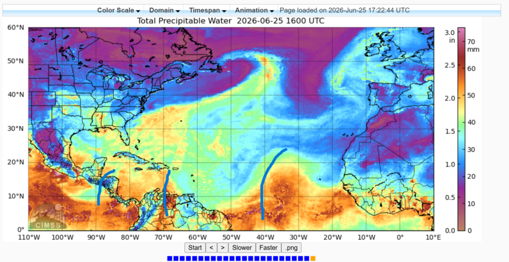
The National Hurricane Center has denoted some tropical waves (see above) in the far eastern/south Atlantic. These waves have slight convection associated with them and bring plenty of tropical moisture with them. These waves can actually be seen in the Precipitable Water Model (to the right) below as big plumes of moisture are being carried (indicated with the lines).
Sea surface temperatures are warm enough in the Caribbean, the eastern Atlantic, and in the gulf to support and fuel tropical cyclones, but there is much vertical wind shear. For tropical storms and hurricanes to develop, they need weak vertical wind shear as they need symmetrical vertical build and structures. The more the storm can build, the more it can rotate. Too much shear offsets the storm.

The few tropical waves from Africa are not triggering anything currently. There is not much going on but keep checking back for updates on the tropical weather as hurricane season progresses. Thanks, and enjoy the rest of your Thursday!


