Hot and humid for just about everyone. Storms for maybe a few
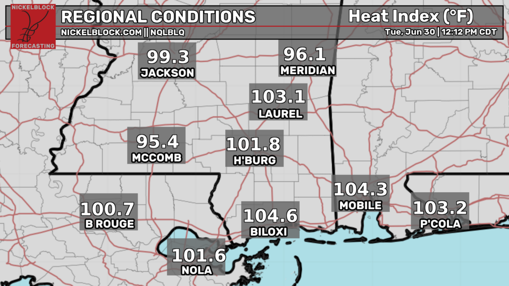
The heat index has continued to rise across the region as surface heating is underway. The heat advisory has been extended through tomorrow at 9pm. Values may exceed 105. Make sure to drink plenty of water and take frequent breaks in the AC if you must be outside.
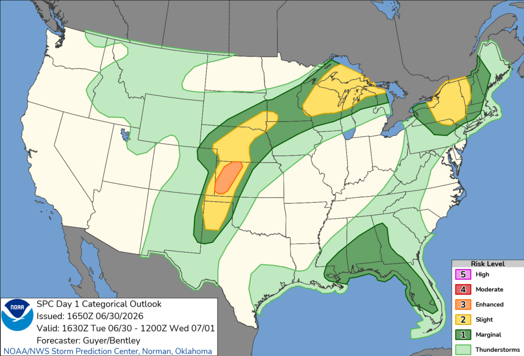
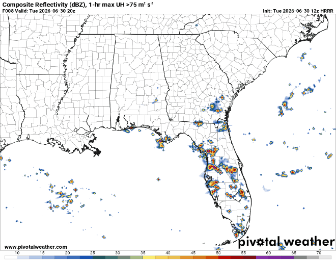
The Storm Prediction Center has outlined our area in a marginal risk for damaging winds up to 60 mph. Storms are not expected to be very organized or long live though.
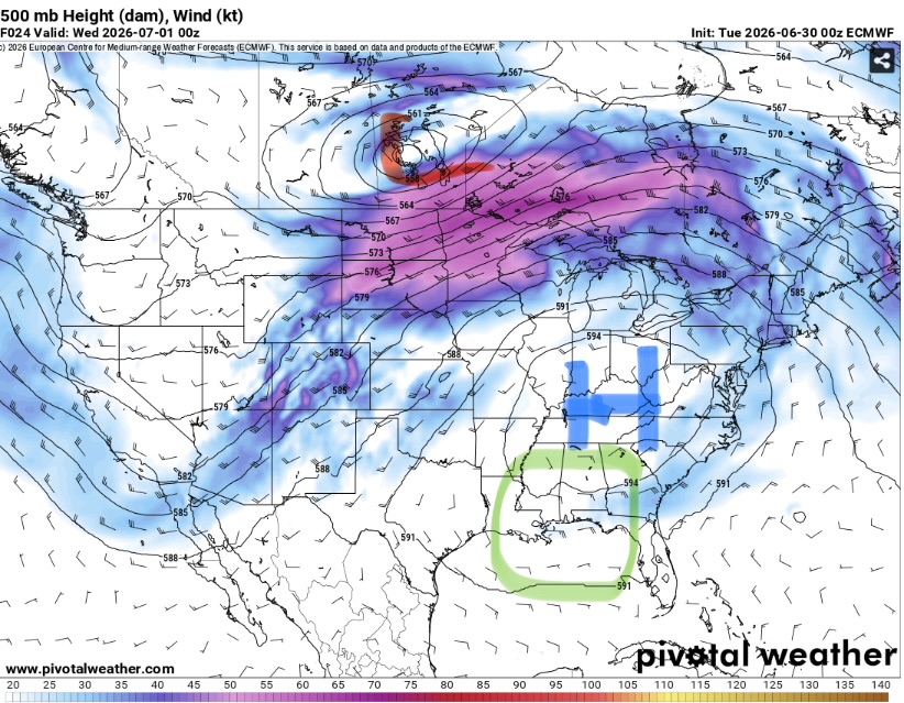
As the ridge lifts slightly north, a weak bit of easterly flow is able to work it’s way underneath (circled in green). This will give just enough of an uptick in shear to allow for stronger storms than a typical summer day.
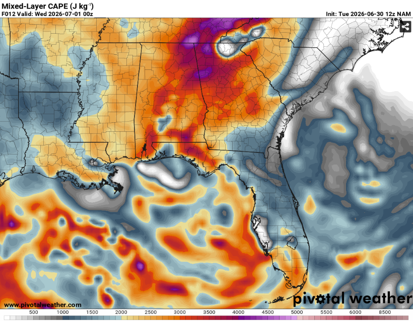
CAPE (storm fuel) will be higher further east, so storms will likely be weakening as they propagate west towards us. None of these parameters matter much however, if we do not get storms to form. Indeed, the majority of locations look to remain dry. The most likely time for storms would be during the evening hours around sunset.
There will be a higher chance for more widespread storms tomorrow. While shear will be weaker, heavy rain, frequent lightning and maybe some strong downbursts will be in the cards. Highs will be in the mid to upper 90s for those areas that can remain storm free.


