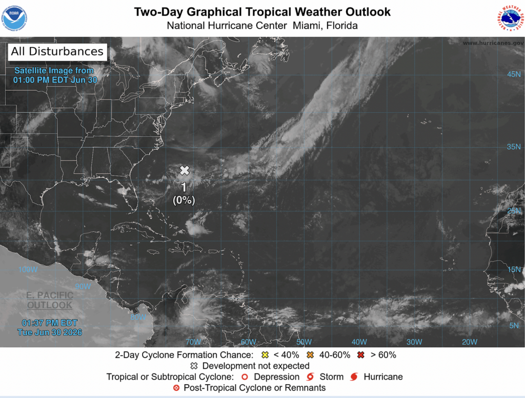
As of early this afternoon, the National Hurricane Center has its eyes on one minor tropical invest off the coast of Georgia. Right now, they think there’s around a 0% chance of tropical development in the next 2 days as well as the next 7 days.
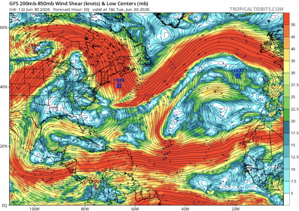
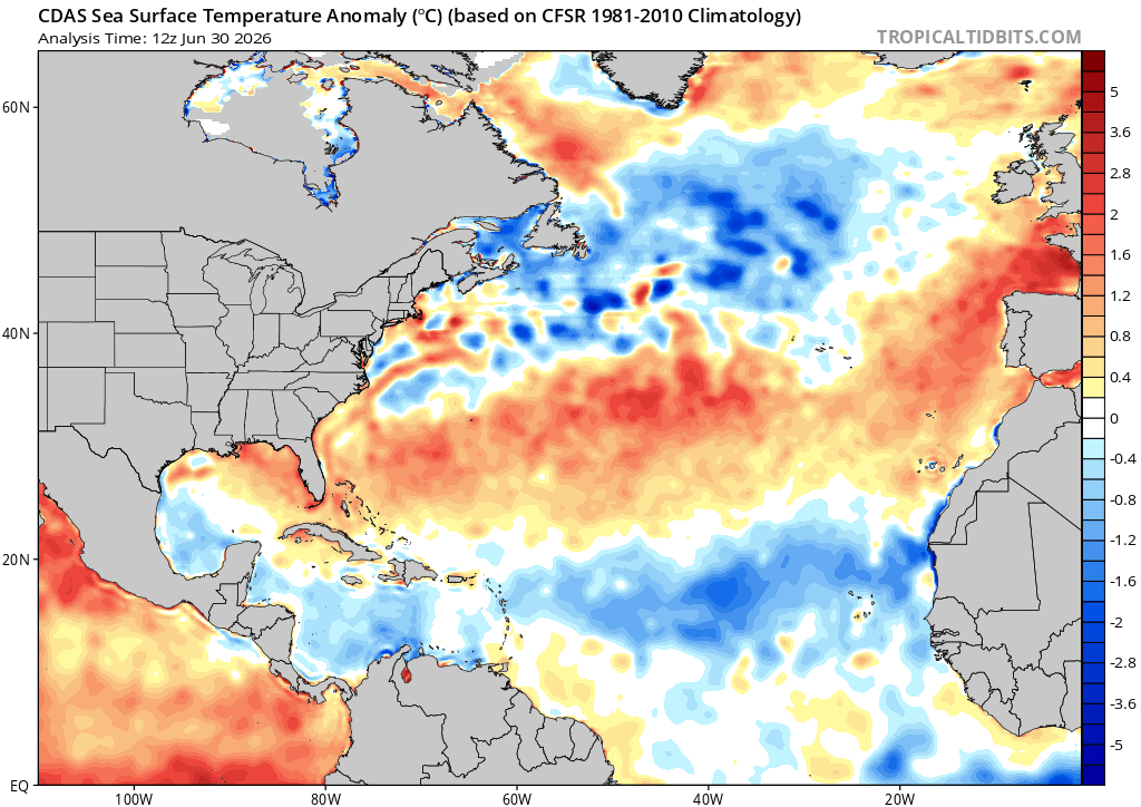
Off the coast of Georgia, conditions looks rather favorable for tropical development. There is low wind shear, and sea surface temperatures are above normal for this time of year, so what gives?
The big issue for this tropical invest is the layer of dry air in the mid-level atmosphere which it will run into as it moves to the southwest. This dry air will get into the center of the low pressure system, causing the air to dry, compress, and sink, which is why there’s basically no chance of tropical cyclone development.
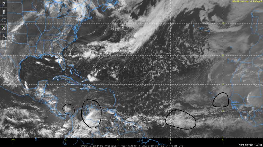
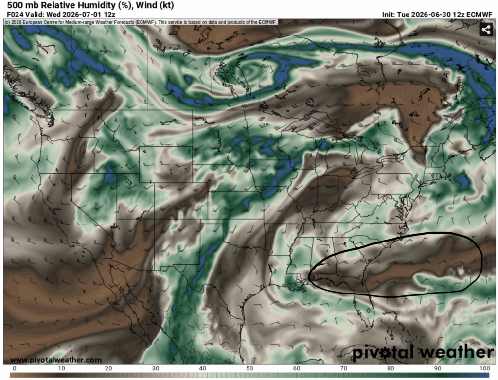
The NHC has also pointed out four other tropical waves in the tropical weather discussion. They are circled in the image above.
None of these tropical waves are expected to form into tropical cyclones, so our region doesn’t have anything to worry about in regards to the tropics at this time.
Extended Outlook
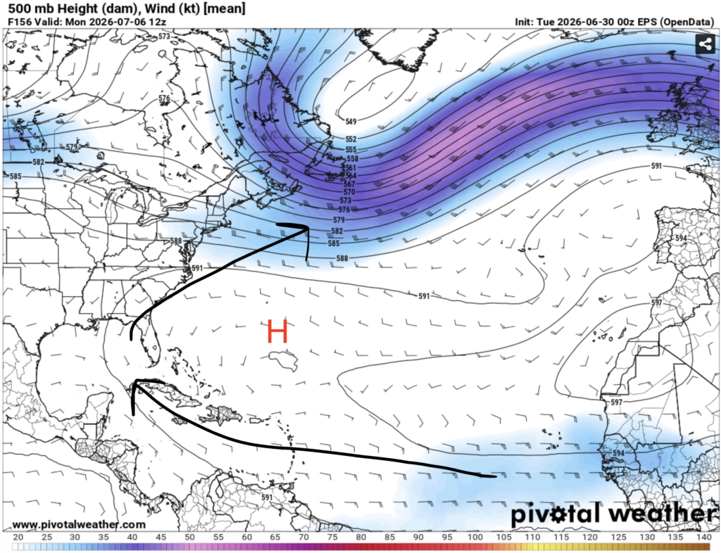
For the rest of this week, tropical development looks unlikely. This is due to subtropical ridging over the Atlantic which prevents storm development in that region. This ridging is causing winds from east Africa to make their way into the Caribbean sea which usually corresponds with tropical cyclones in the Caribbean and southern U.S., but high shear and cooler than normal ocean temperatures are preventing development.
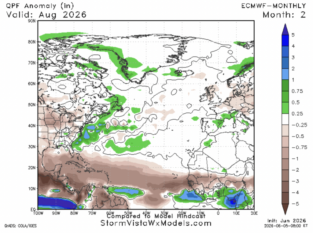
Earlier this year the NHC predicted a below average Atlantic hurricane season. Based on model guidance, you can see why. The ECMWF model is predicting widespread below normal precipitation for the main development region of the Atlantic basin which stretches from east Africa to the Caribbean to the gulf coast for August 2026.
This could be indicative of below normal tropical wave activity in the part of the basin where tropical cyclone development is most common, partially due to below average sea surface temperatures. Overall, this is good news for us, but remember, all it takes is one powerful storm to cause major destruction.


