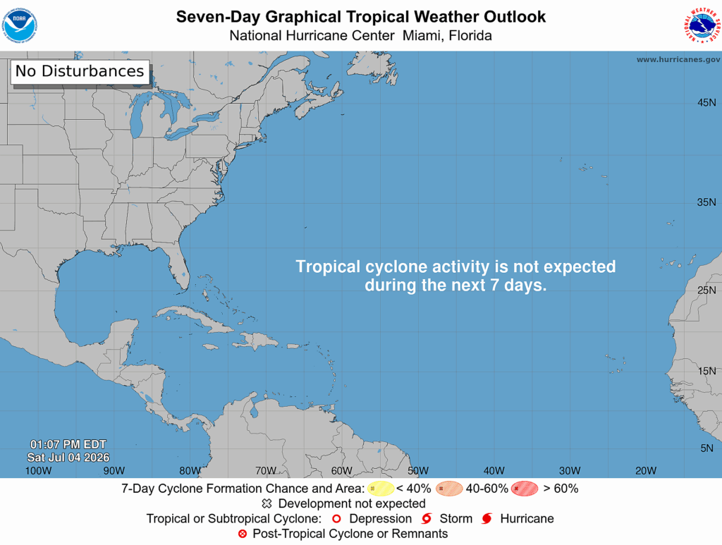
Happy Independence Day! Good news, there is no tropical cyclone activity expected in the Atlantic for the next week.
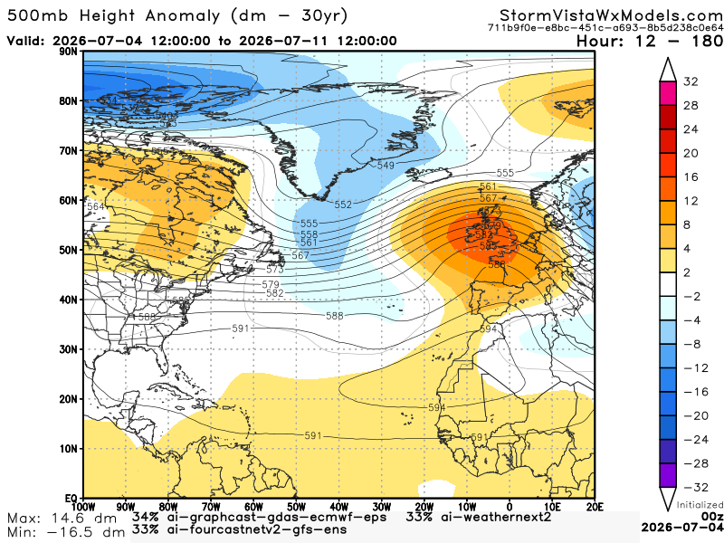
Here we have a 500 mb height anomaly model blend over the next week. We see a trough expanding across Greenland through most of the central North Atlantic Ocean. We also see a ridge stretching from the northwest coast of Africa to Europe. This would suggest not a very favorable environment for tropical development. The trough usually brings stronger upper-level winds that can disrupt developing storms. While tropical waves can still be prevalent, the trough may limit further development. It really depends on the location of the development. A storm further north would likely go northwest back out to sea. Let’s take a look at the ocean’s surface temperatures.
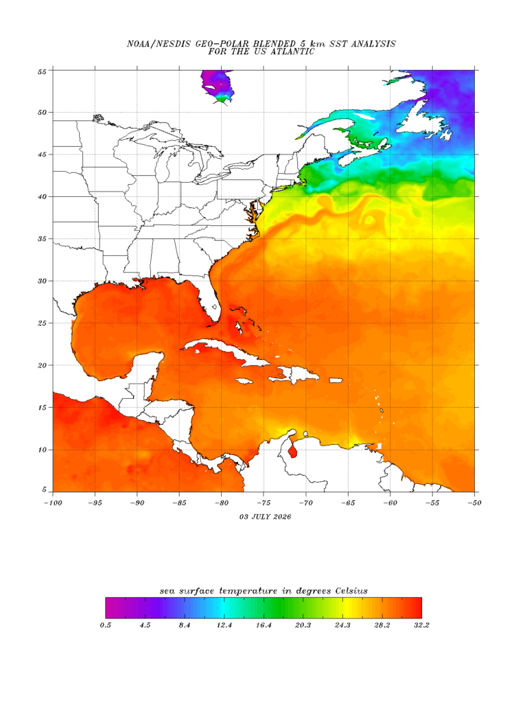
The Atlantic SST is warm enough to support development. The Caribbean and the Gulf are very warm, which definitely supports development. What about the wind shear?
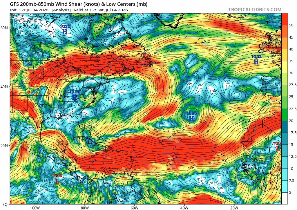
This current setup for the week is not ideal for the Atlantic or Caribbean. The wind shear is mostly moderate or strong, which is not supportive of development. As for the Gulf, wind shear is relatively low or moderate. Still not great for development.