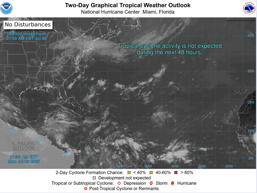
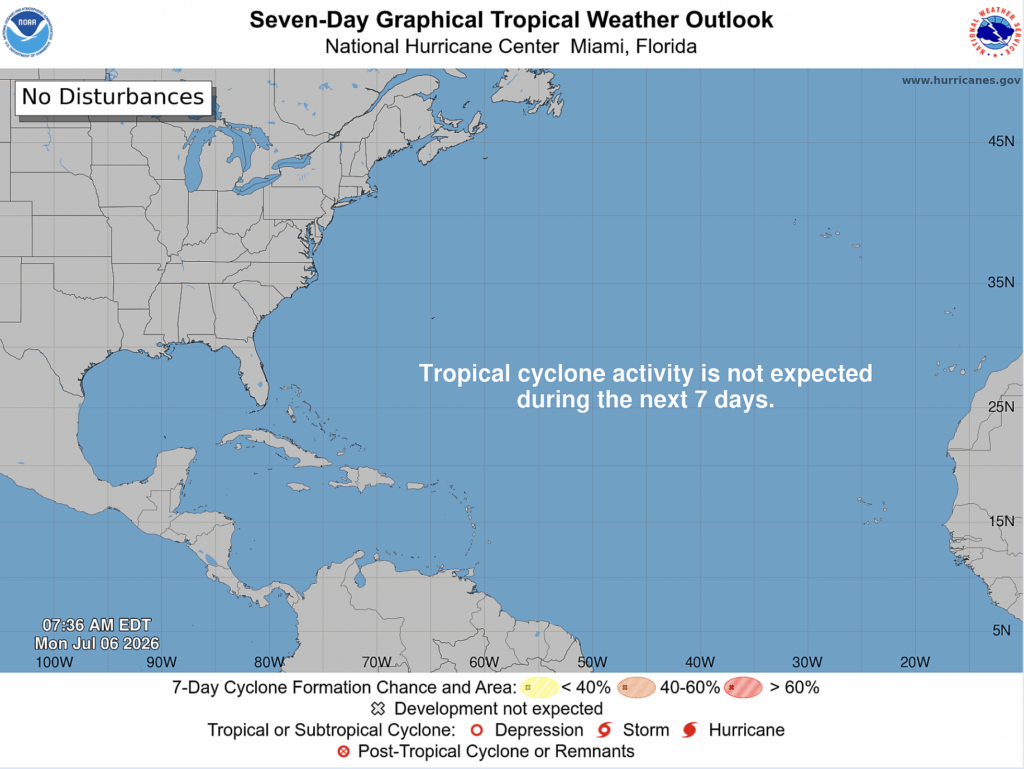
Good news on the tropical front, no tropical cyclone development is expected within the next 2 or 7 days!
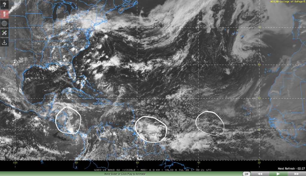
The NHC has identified 3 tropical waves in the Atlantic basin at this time. One is off the coast of Central America moving west at 10 kts, one is off the northeast coast of South America moving west, and the other is halfway between Cabo Verde and the eastern Caribbean moving west at 10 kts.
None of these waves are expected to develop into tropical cyclones, so we have nothing to worry about at this time.
Extended Outlook
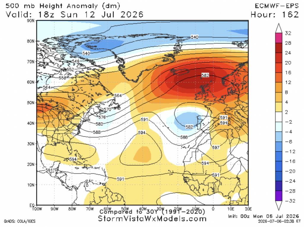
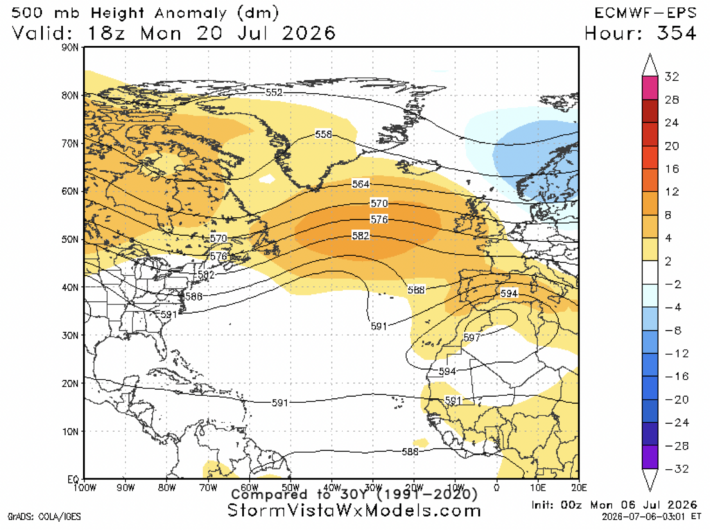
For the next week and a half or so, high pressure over the main development region (the portion of the Atlantic ocean between Africa and the Caribbean) will likely suppress most tropical wave formation and development. Areas of high pressure also exist in the Gulf of Mexico as well as the central Atlantic. The pattern looks to change up a bit as we get into the latter half of July, with high pressure potentially subsiding in those 3 places. This will allow more convection to occur, leading to a higher chance of tropical cyclone development.
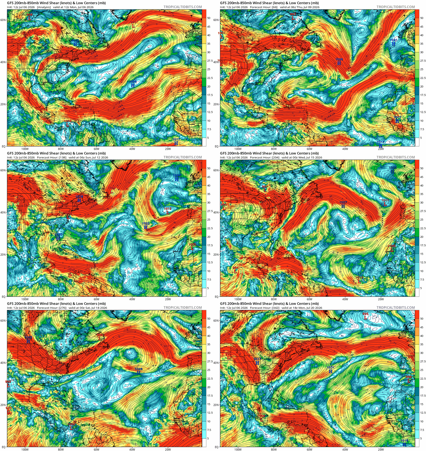
Over the next couple of weeks, wind shear looks like it will remain strong, especially over the Caribbean sea. However, weak wind shear over the main development region is being suggested by the GFS in mid-July, which may mean tropical development is possible in that region during that time. However, this is still fairly far out, so things could and likely will change.
It is also still early. Tropical cyclone development is fairly unusual in the month of July, and we’re still more than 2 months away from the climatological peak of hurricane season, September 10th.
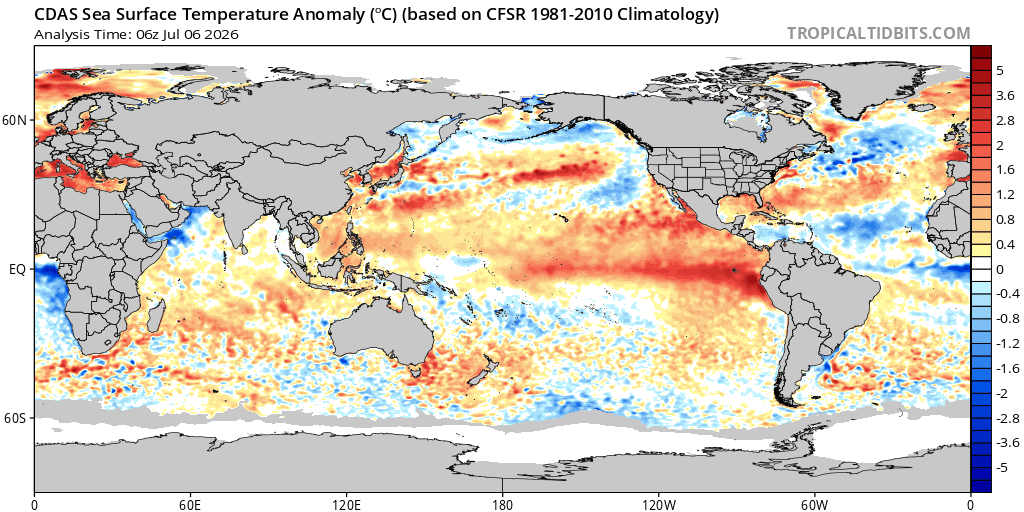
Cooler than normal sea surface temperatures are also present in the main development region and the Caribbean sea. This will also suppress some development now and as we get into the peak of hurricane season in August and September.


