Tropical Storm LaLa is becoming better organized and could bring hurricane-force winds to the Big Island of Hawaii tomorrow. The last hurricane to make landfall in Hawaii was Iniki in 1992!
Meanwhile, the National Hurricane Center has identified two areas over the Atlantic for potential tropical cyclone development over the next 7 days.
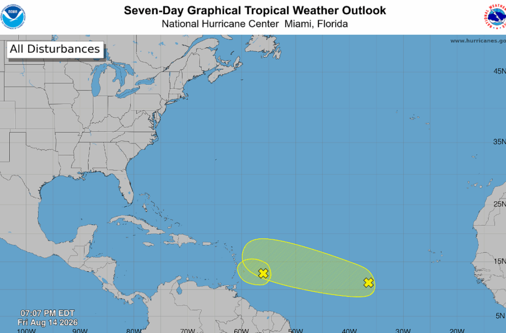
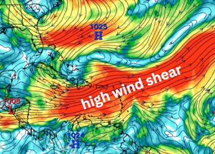
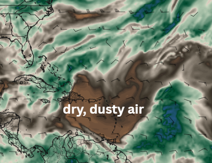
They did downgrade the percentages from yesterday, so now, in the smaller-circled region, there is only a 10% chance of development. This is for AL92, a tropical wave near the Lesser Antilles moving into a region of high wind shear and dry air (shown below). Hence, development is highly unlikely.
The tropical wave behind it is AL94 which has a 30% chance of development over the next week.
Ahead of AL94, conditions look somewhat supportive this weekend. However, that window won’t last long. AL94 is expected to encounter strong upper-level winds next week, decreasing its chances for development.
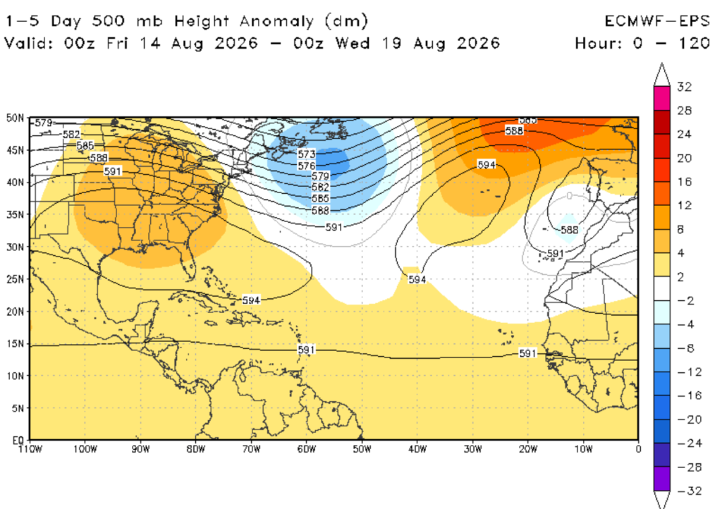
In the short term, the composite maps show a trough moving across the Atlantic (above, left), bringing even more wind shear!
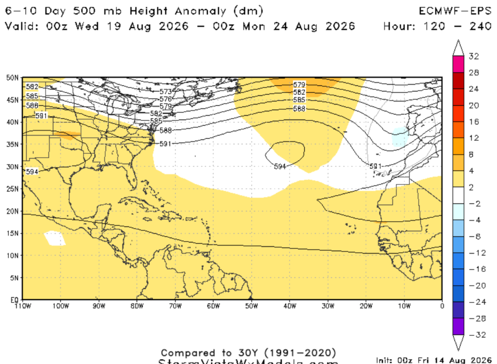
A week out from now, guidance shows ridging over the Atlantic (above, right). Therefore, it’s worth keeping an eye on tropical waves as they keep trying their luck at crossing the basin, especially with peak hurricane season approaching!


