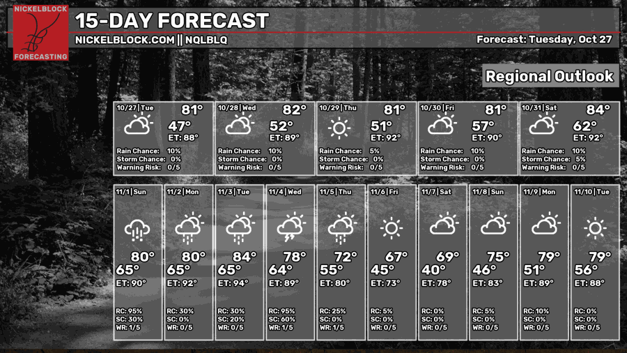
We’re almost out of the dry pattern as the high pressure system breaks down allowing for rain! Yay! It may not seem like a lot for us on the weekend, but it is a sign for things to come. Cue up Guns n Roses’ “November Rain” because next week looks like it’s going to start that trend soon.
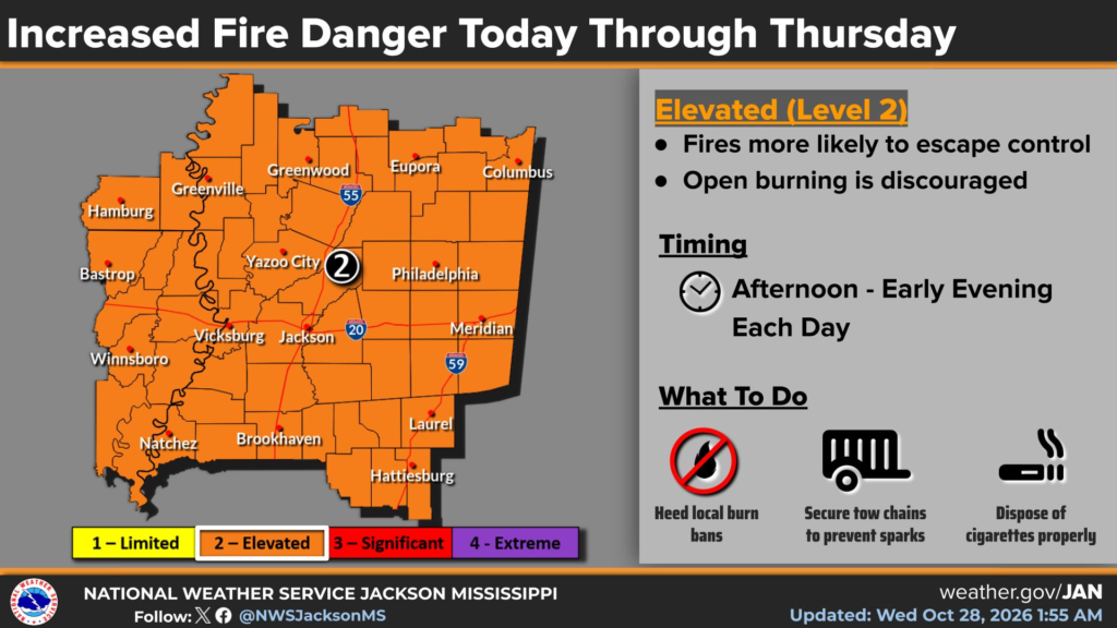
Hey, that doesn’t mean you can burn, though!

Today
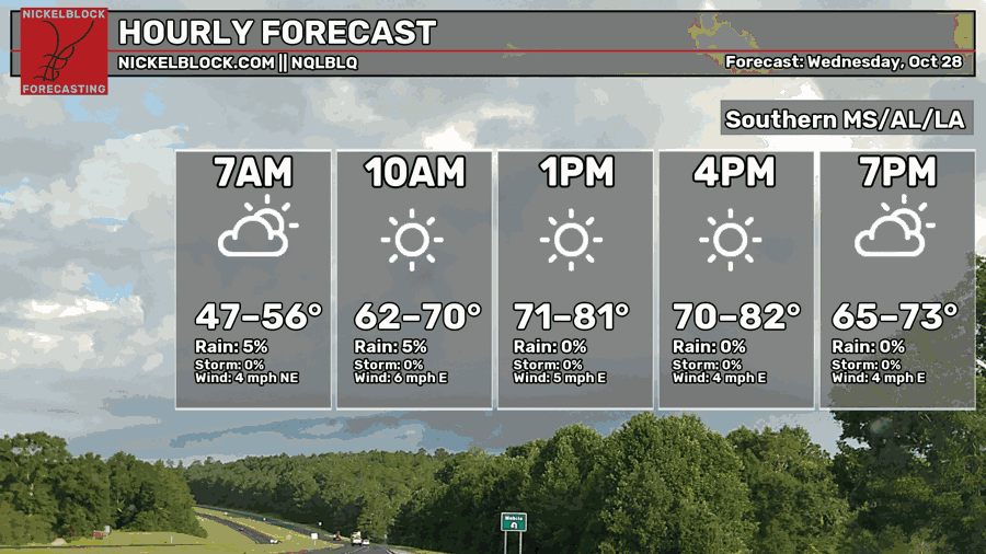
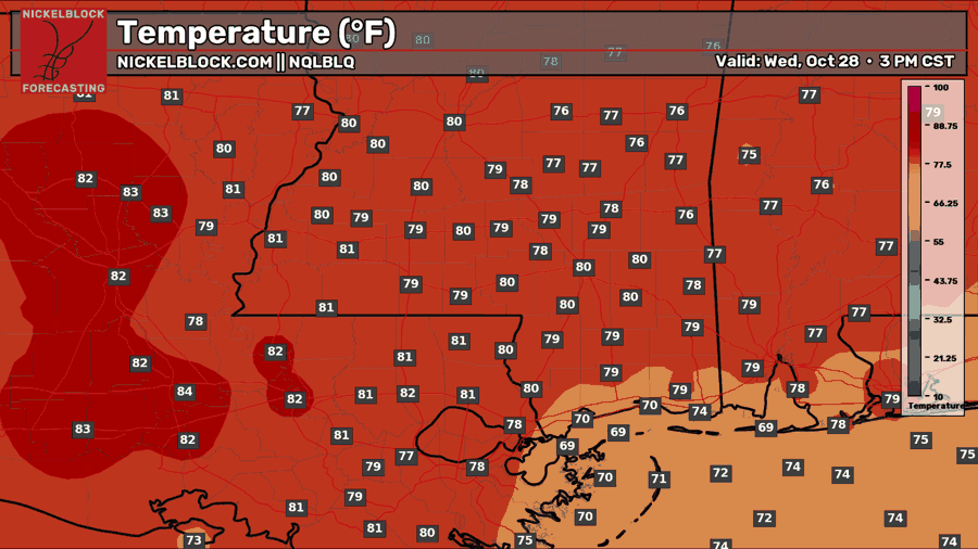
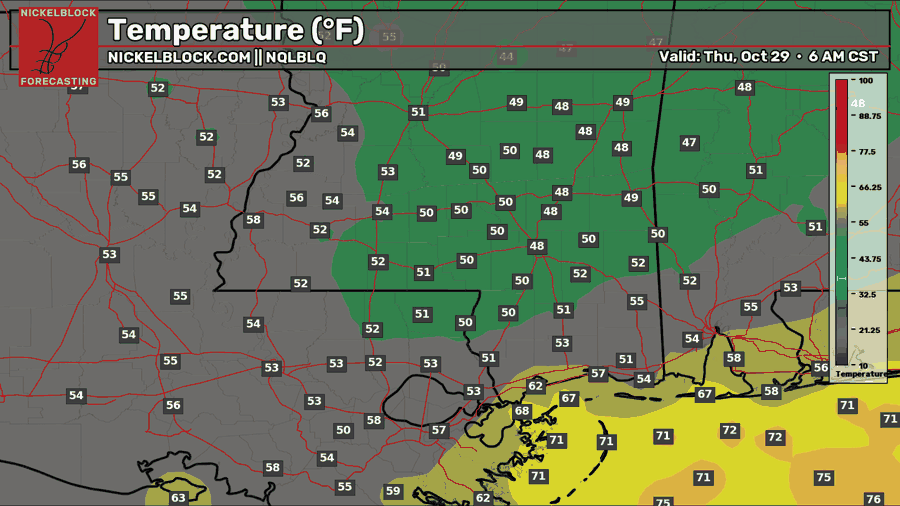
We started off with a crisp morning, and we’ll stay somewhat warm as usual. Highs will be in the upper 70s to low 80s during the day with winds out of the east, though pretty light. Overnight, temperatures will fall back into the low 50s with a few upper level clouds in the sky.
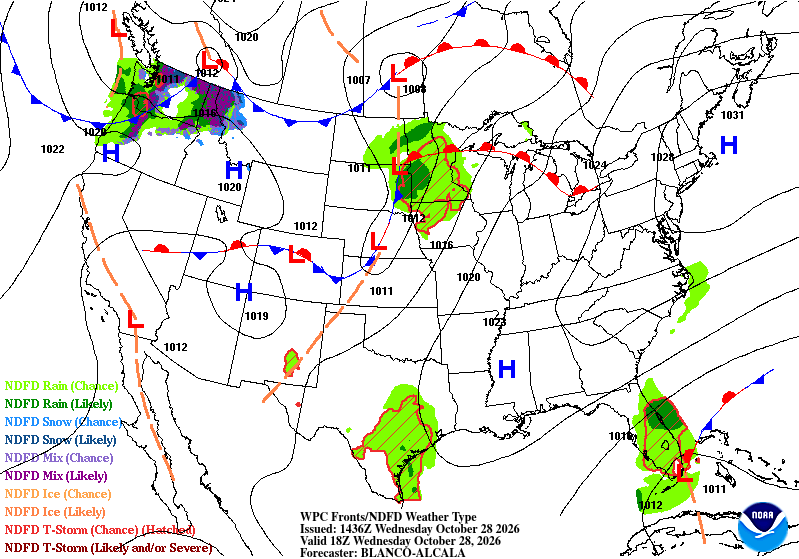
Looking at the lower atmosphere, the closed high pressure system is beginning to retreat to the North Atlantic and a developing low is moving out of the lower Rockies. You may not see it now, but it’ll be quite noticeable in the next couple of maps.

Tomorrow
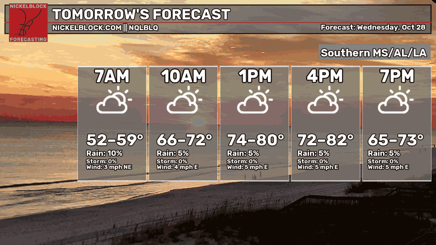
More clouds begin to roll in as the humidity increases slowly but surely tomorrow and Friday. I don’t really see a chance of rain despite what the NQLBLQ model is showing. Overall, another warm fall day with a high in the upper 70s to low 80s. Overnight, it’ll be a little warmer with lows in the low to mid 50s.
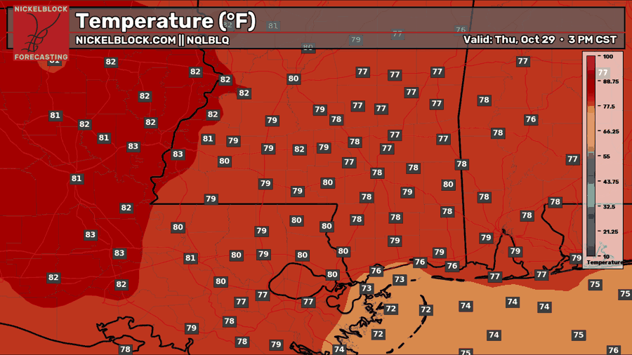
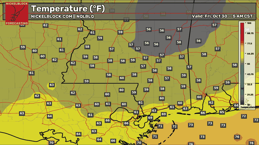
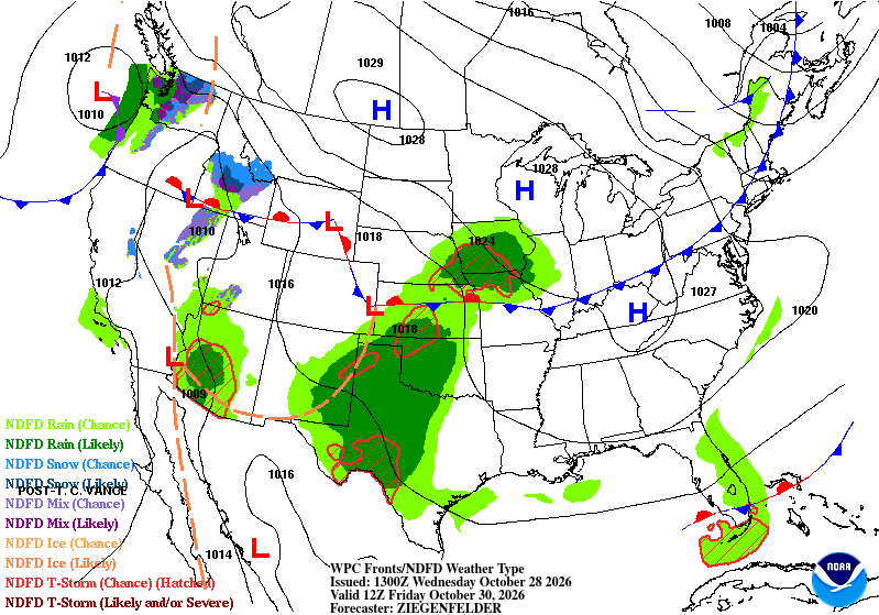
Looking at the WPC’s map, you’ll notice the front getting more organized and gathering more moisture in the high plains around TX/NM/OK on Friday.
Friday
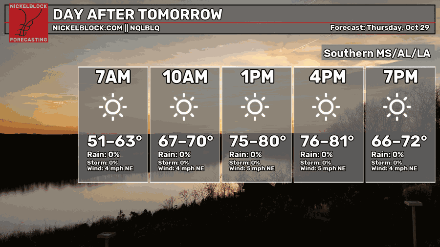
More of the same for Friday. Temperatures will be a bit warmer in the morning as the humidity increases in the Gulf South. Highs will be in the upper 70s to low 80s again, so it’ll at least be nice outside! If you’re going to the game or going outside, it’ll be a great Friday for outdoor Halloween parties! Overnight, temperatures will fall back into the mid 50s again.
Halloweekend
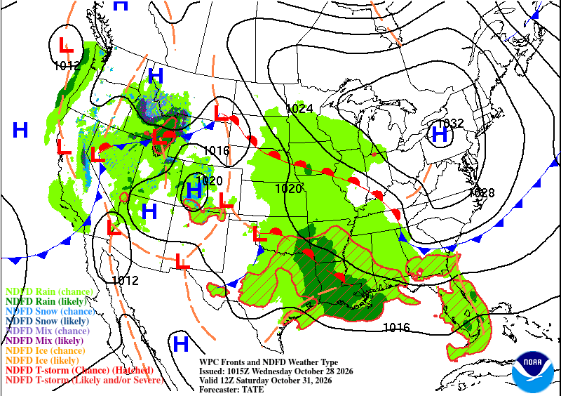
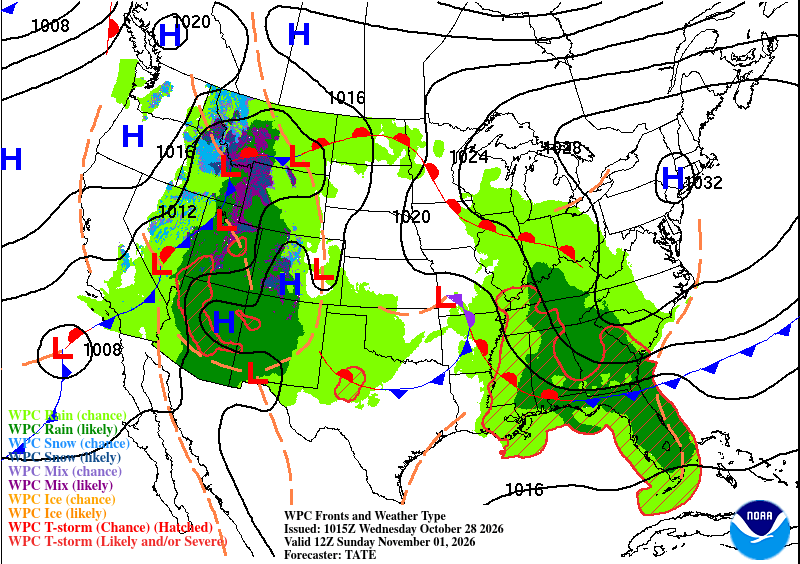
Things are looking a little dodgy for Trick-or-Treaters this Halloween. If you’re one of those parents or one of the kids, bring an umbrella with you, or possibly go to the Trunk-or-Treat if you see rain. It’s looking fairly spotty for most of us in the Pine Belt and areas in the same latitude (weird to say, but I think you get what I mean). Rain is coming out of the south due in part to a warm front developing out of the High Plains. This thing is pretty slow moving because of it’s battle with the large high pressure system, but most of the rain chances will move east by Sunday. A few thunderstorms are likely as this system does have a decent amount of convection associated with it.
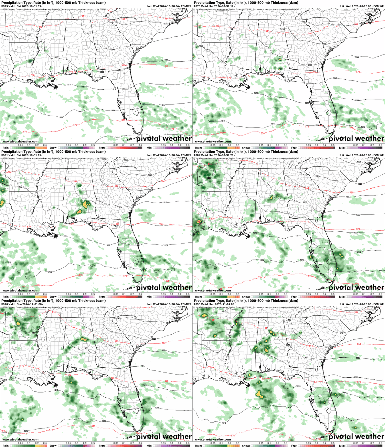
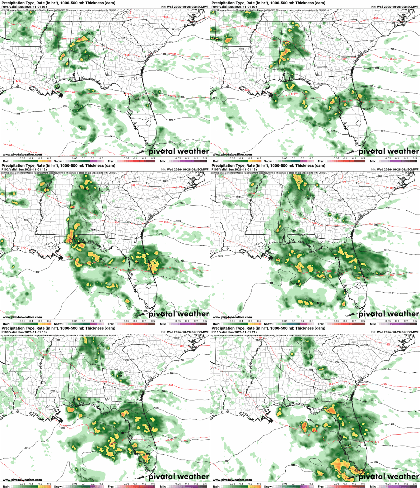
Overall, it’s looking like scattered rain and thunderstorms on Halloween in the evening hours. The heavier rain will move in during the overnight hours and eventually move east into Alabama and Georgia by Sunday.