Short forecast today, but I’ll try to circle back with more details tonight.
Things return to being a bit more active this week, as the chance for rain will increase from Tuesday to Wednesday, and we could see locally heavier downpours and a couple of inches of rain. On Thursday, there is the potential for stronger to iso severe storms, but there is no mention of flooding or severe potential, for now, from the NWS, SPC or WPC but I’ve got to think there will at least be a low-end risk.
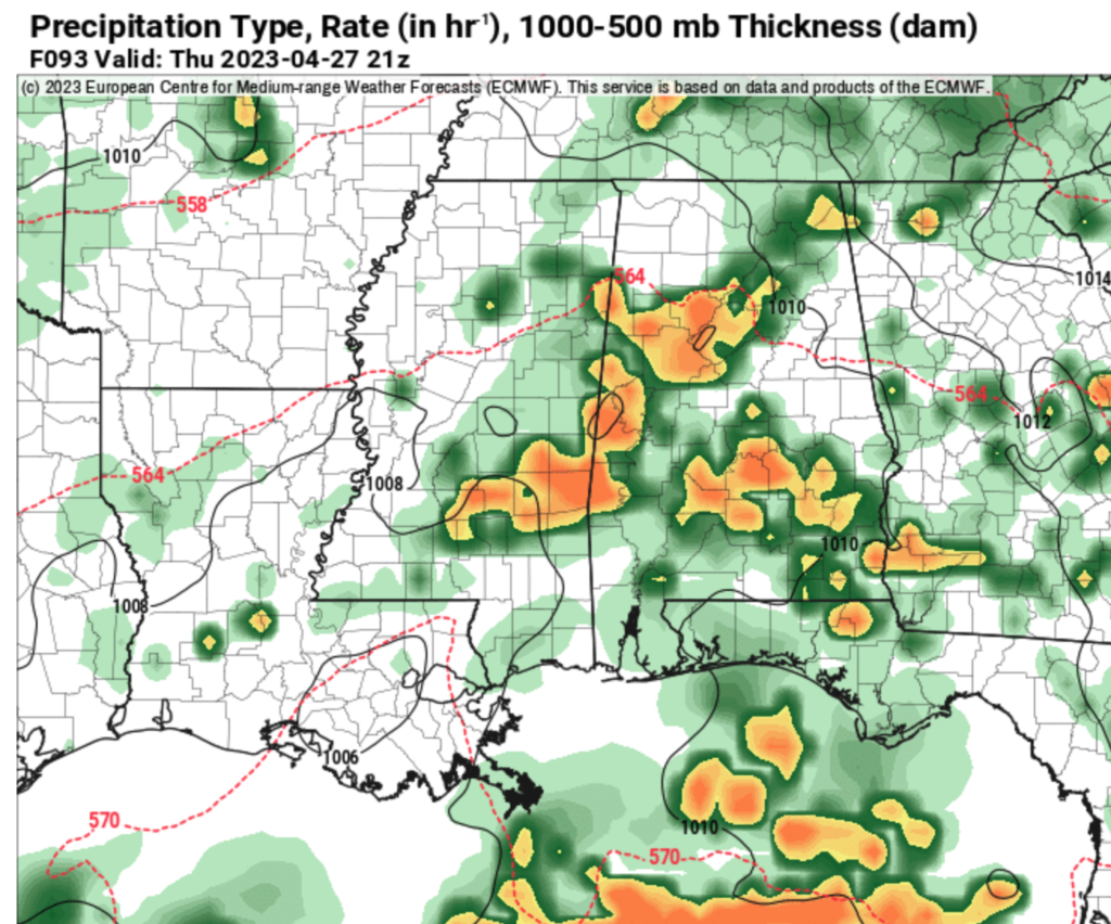
As we move into and through the weekend, there may be some rain lingering through early Friday morning with the potential for a sharper cold front to move through but it remains to be seen if this will lead to organized potential for severe weather.
I would argue, though, that once we pass May 1st the potential for strong tornadoes for our area starts to drop off pretty quickly. So if we can make it through this upcoming week without any problems, we may be ‘home free’ into the Summer where we have to worry more about heavy rain, lightning, and gusty wind.
Overall, temperatures will gradually warm up through the period, with highs ranging from the mid-upper 70s to near 80 degrees and lows in the mid-upper 50s.
REGIONAL DAY TO DAY FORECAST
Today: Partly sunny. Highs in the lower 70s. Northeast winds 5 to 10 mph with gusts up to 20 mph.
Tonight: Mostly clear. Lows around 50. Northeast winds around 5 mph.
Tuesday: Mostly sunny. A slight chance of showers in the afternoon. Highs in the upper 70s. East winds around 5 mph. Chance of rain 20 percent.
Tuesday Night: Partly cloudy with a slight chance of showers in the evening, then mostly cloudy with a chance of showers after midnight. Lows in the upper 50s. East winds around 5 mph. Chance of rain 30 percent.
Wednesday: Partly sunny with a chance of showers. A slight chance of thunderstorms in the morning, then a chance of thunderstorms in the afternoon. Highs in the lower 80s. East winds 5 to 10 mph. Chance of rain 50 percent.
Wednesday Night: Mostly cloudy. Lows in the lower 60s.
Thursday: Mostly cloudy with a chance of showers with a slight chance of thunderstorms in the morning, then partly sunny with a chance of showers and thunderstorms in the afternoon. Highs in the lower 80s. Chance of rain 50 percent.
Thursday Night: Mostly cloudy. A chance of showers and thunderstorms in the evening, then a slight chance of showers after midnight. Lows in the lower 60s. Chance of rain 50 percent.
Friday: Partly sunny in the morning, then clearing. Highs in the lower 80s.
Friday Night: Mostly clear. Lows in the upper 50s.
Saturday: Mostly sunny. A slight chance of showers and thunderstorms in the afternoon. Highs in the lower 80s. Chance of rain 20 percent.
Saturday Night: Partly cloudy. Lows in the lower 50s.
Sunday: Sunny. Highs in the mid 70s.


