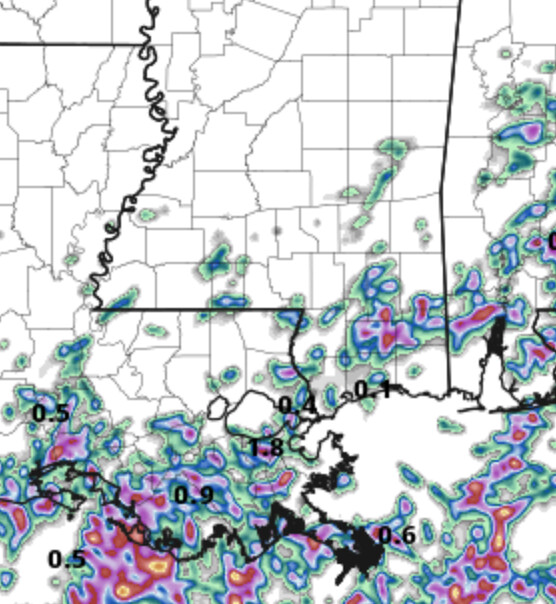
Another day of afternoon storms across the region as a diffuse boundary continues to be the focal point for afternoon storms. Things shouldn’t be as robust as two days ago, but we will still see a handful of storms develop in the afternoon heat.
And there will be plenty of heat!
Afternoon highs will be back into the lower 90s with Heat Index values up around 105F this afternoon. Not quite as hot as the last few days, but plenty hot for anyone without AC or folks having to work outside.
The storms this afternoon will help to cool some folks down, but it doesn’t look like coverage with be overly robust, so not everyone will get some help from Mother Nature today.
Beyond the handful of afternoon storms today and tomorrow, there may be something brewing in the Gulf. Recall, back in May, I mentioned that this year was likely to be a “watch storms develop close to home” kind of year. And so far, that’s been the story.

The National Hurricane Center gives a little cluster of storms a 30-percent chance for tropical development during the next five days in the Gulf. These storms will start out over land and drift out into the Gulf. That is why the “X” above is on land and then the outlined area of potential development is over water.
You can almost think of this like those African waves. The cluster of storms drift off the African coast and have the potential to spin up into a tropical system. Same goes here. This one is “built” a bit differently, and is just much closer to home, but the general concept applies.
Model guidance shows this would be more of a rainmaker than a wind producer, but it is still rather early and will need to be monitored closely. Most folks probably remember Hurricane Barry from a few years ago doing a very similar thing.

You’ll notice below that the day-to-day forecast isn’t going to include the specifics of this tropical potential. So far, it is still too early to nail down anything on this, so I’m going to leave the forecast a bit more ‘general’ after about Day 3.
Day to Day Forecast
Monday
Mostly sunny with a 40-percent chance for storms. Humid with highs in the lower 90s. Heat index values up to 105F.
Monday Night
Partly cloudy and humid. A few storms possible before midnight. Lows in the mid 70s. Chance for rain around 40-percent.
Tuesday
Mostly sunny with a good shot for afternoon storms. Humid. Highs around 90F. Heat Index around 100F. Chance of rain 60-percent.
Tuesday Night
Mostly cloudy with a slight chance of showers and thunderstorms. Lows in the lower 70s. Chance of rain 40-percent.
Wednesday
Partly sunny with storms possible. Highs in the upper 80s. Chance of rain 60-percent.
Wednesday Night
Mostly cloudy with a chance of showers and thunderstorms. Lows in the lower 70s. Chance of rain 40-percent.
Thursday
Partly sunny with storms possible. Highs in the mid 80s. Chance of rain 40-percent.
Thursday Night
Mostly cloudy with a chance for a few storms. Lows in the lower 70s. Chance of rain 30-percent.
Friday
Mostly sunny with a few afternoon storms possible. Highs in the upper 80s. Chance of rain 30-percent.
Friday Night
Mostly cloudy. Lows in the lower 70s.
Saturday
Mostly sunny with afternoon storms possible. Highs in the upper 80s. Chance of rain 40-percent.
Saturday Night
Mostly cloudy. Lows in the lower 70s.
Sunday
Mostly sunny with isolated storms possible. Highs around 90F. Chance of rain 30-percent.


