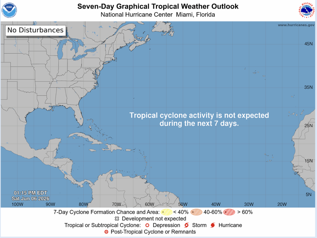
As of now, there is no chance for tropical cyclone activity in the Atlantic basin in the next 7 days according to the National Hurricane Center. It’s still early in the 2026 Atlantic Hurricane Season which officially began on June 1st and will end on November 30th. However, it’s important to take precautions early.
Looking Ahead
The National Hurricane Center’s latest prediction gave the Atlantic basin a 10% chance of experiencing above normal cyclone activity, a 35% chance of experiencing near normal cyclone activity, and a 55% chance of experiencing below normal cyclone activity. An average Atlantic hurricane season sees 14 total named storms, 7 hurricanes (winds between 74 and 115 mph), and 3 major hurricanes (115+ mph winds) among those 7 hurricanes.
When you take a closer look, it’s easy to understand why the NHC expects a below average hurricane season.
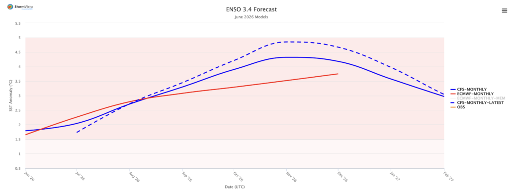
The image above is the current June 2026 weather model prediction for the sea surface temperature anomaly in the Niño 3.4 region of the Pacific ocean, the main area analyzed when studying El Niño and La Niña, the positive and negative phases of the El Niño-Southern Oscillation respectively.
Certain models predict a sea surface temperature anomaly between 3 and 4.5ºC by November, which is insane. For context, the 2015/2016 El Niño peaked at an anomaly of around 2.5ºC, and that was considered to be near record breaking. Coincidently, or maybe not, 2015 was the last year that the Atlantic saw a below average hurricane season.
El Niño usually leads to below normal Atlantic hurricane seasons because it creates strong wind shear over the Atlantic ocean and Caribbean sea which tear apart storms.
This is because warm water in the tropical Pacific leads to intense convection (rising air). This air condensates rapidly, creating strong thunderstorms, which then diverge aloft causing strong upper level winds which blow to the east. This creates a large difference in wind speeds in the upper levels and lower levels, known as wind shear, which prevents cyclones from forming a cohesive rotating core.
It also leads to drier air and sinking motion across the Atlantic, which is also not conducive for cyclone development.
Takeaway
While a below average Atlantic hurricane season is generally good news for people who live on the gulf coast and other hurricane prone areas such as the Caribbean and the southeastern U.S. Atlantic coast, all it takes is one impactful hurricane to cause destruction and loss of life.
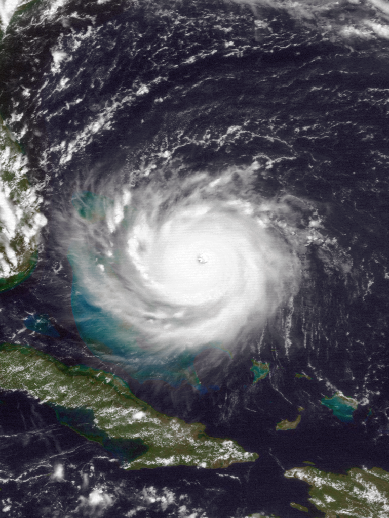
A great example of this happened back in 1992, which was one of the least active, but also one of the most destructive Atlantic hurricane seasons on record. This was of course due to Hurricane Andrew, which made landfall in the Miami area as a category 5 hurricane and in Louisiana as a category 4.