Not much to look at in the Atlantic lately but the Pacific on the other hand is getting busy with many developments. We are watching two disturbances in the eastern Pacific that have great poetical for development soon. We will also see how these patterns may change within the coming weeks.
The Busy Pacific
We are currently watching 2 disturbances in the eastern Pacific off the southern coast of Mexico. One is currently Invest 93E and the other has not reached a greater status yet. Both have a lot of potential development so let’s talk about it.

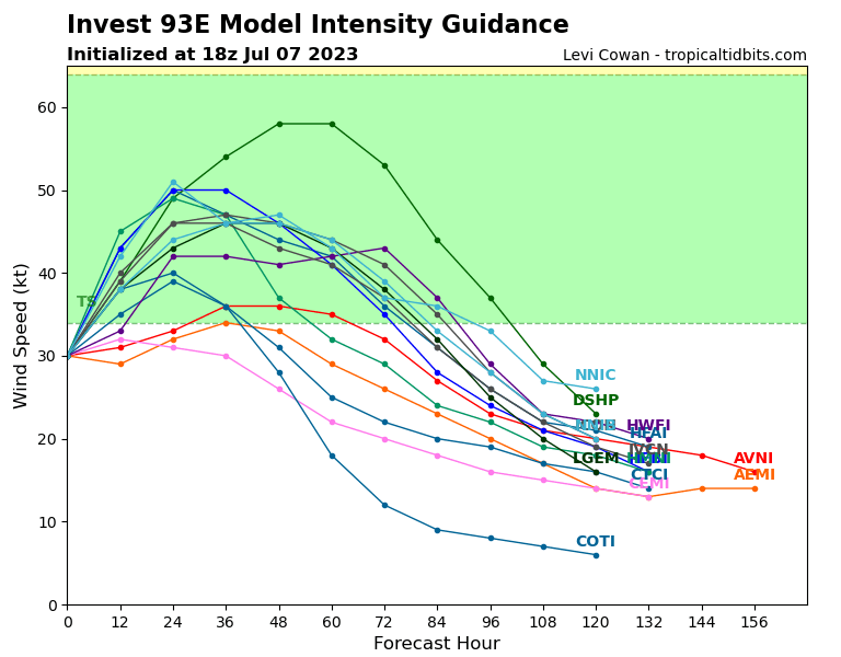
Invest 93E is the bigger one to watch right now. It has a 90% chance of cyclone formation within the next 2 days. Currently it is moving west-northwest and is along the southern coast of Mexico near the states Jalisco and Colima. The invest is a collection of showers and thunderstorms surrounding a low pressure area. Currently it’s not super organized but will become more organized over this weekend.
This storm has the potential to bring rain to the southwestern coast of Mexico. Some thunderstorms and rain is possible for many parts of the Pacific Coast. The storm will intensify over the next few days but slowly weaken later next week. However the effects of this storm won’t be seen much on the mainland and it will stay more outwards in the ocean until it dies out.

The other disturbance we are watching is following in the footsteps of Invest 93E. This is another trough of low pressure that has scattered storms around it. Within the next 2 days it only has a 20% chance of development but for the next 7 days the chance for development is 80%. The scattered storms off the southern part of Mexico and western part of Central America will organize over the next week and most likely form into a tropical depression. It will follow a similar path to Invest 93E but it’s something to definitely watch.
Looking at the radar we can see the development of Invest 93E move westward in the ocean but start to die out around Tuesday. However we can see the cyclonic development of the disturbance behind it start on Monday. This storm is projected to also move westward and fizzle out next weekend. This disturbance however may effect the western coast of Mexico including the Baja and Pacific coasts getting rainfall.
Extended Outlook
While the Pacific is the biggest story for the next few weeks the Atlantic looks like it will remain pretty dormant. The reasons for the quiet Atlantic is due to high shear coming off the western coast of Africa. This is apart of the effects of the El Niño season more than just the climatological state of the area. On the other hand the Pacific is currently thriving with warm moisture and low pressure. This is why we are getting so many developments. Although this pattern of tropical developments will most likely slow down later in July as the patterns change across the area. However, it is uncommon for storms in the eastern Pacific to move towards land and they usually most towards the west which is the case for our current storms.
Conclusion
Invest 93E is something to definitely watch this weekend as it strengthens west of land. As we head into July more we will see some more activity in the Pacific for a while including the disturbance following behind 93E. This disturbance will be the one to watch after the weekend so be sure to keep updated on that storm. Lastly the Atlantic will stay quiet for the next few weeks so don’t expect many July hurricanes this year in the Atlantic.


