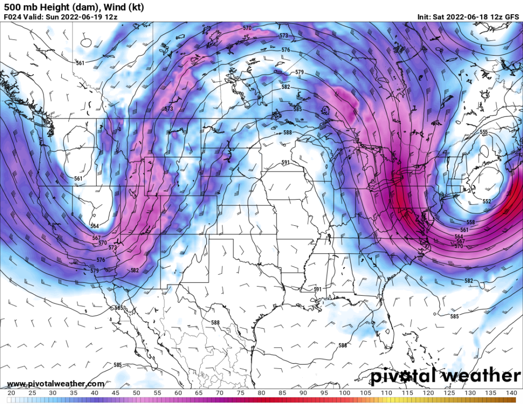
Hot and muggy conditions is the overall theme for the near-term. The dome of high pressure sitting over the area refuses to move or weaken much, continuing the overall pattern of hot and dry conditions. Heat indices through the week look to easily clear 100F, making conditions dangerous to those sensitive to heat or outside doing strenuous activities. Any rain chances appear to be in the evening and overnight hours, but nothing organized looks to occur in the coming days.
Father’s Day will be noticeably drier as a cold front moves through in the morning hours. While there may not be a noticeable change in temperature, the drier air will help mitigate the heat index to the mid- to upper 90s.
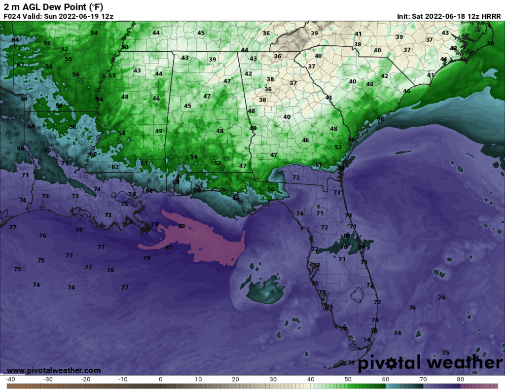
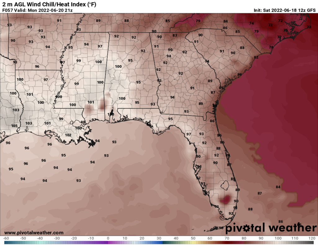
The effects of this front don’t look to hang around long, as dew points quickly climb back into the 60s and 70s by Monday. Combined with high temperatures in the mid to upper 90s across the area, the heat index will once again approach and surpass 100°F for the rest of the week. Chances for rain look to be sparse and isolated for the week. Pop-up showers and thunderstorms are possible in the evening and overnight hours, but no major disturbances are shaping up to occur at this moment.
Day to Day Forecast
Sunday
Sunny. High temperatures in the mid 90s. Low temperatures in the low 70s.
Monday
Mostly sunny. High temperatures in the upper 90s to low 100s. Low temperatures in the mid 70s. Chance of rain 10%.
Tuesday
Partly cloudy. High temperatures in the upper 90s to low 100s. Low temperatures in the mid 70s.
Wednesday
Mostly cloudy. High temperatures in the upper 90s to low 100s. Heat indices may reach up to 105°F. Low temperatures in the mid 70s.
Thursday
Partly cloudy. High temperatures in the low 100s. Heat indices may reach up to 105°F. Low temperatures in the mid 70s.
Friday
Mostly sunny. High temperatures in the low 100s. Heat indices may reach up to 105°F. Low temperatures in the mid 70s. Chance of rain 10%.
Saturday
Mostly cloudy. High temperatures in the low 100s. Heat indices may reach up to 110°F. Low temperatures in the mid 70s. Chance of rain 10%


