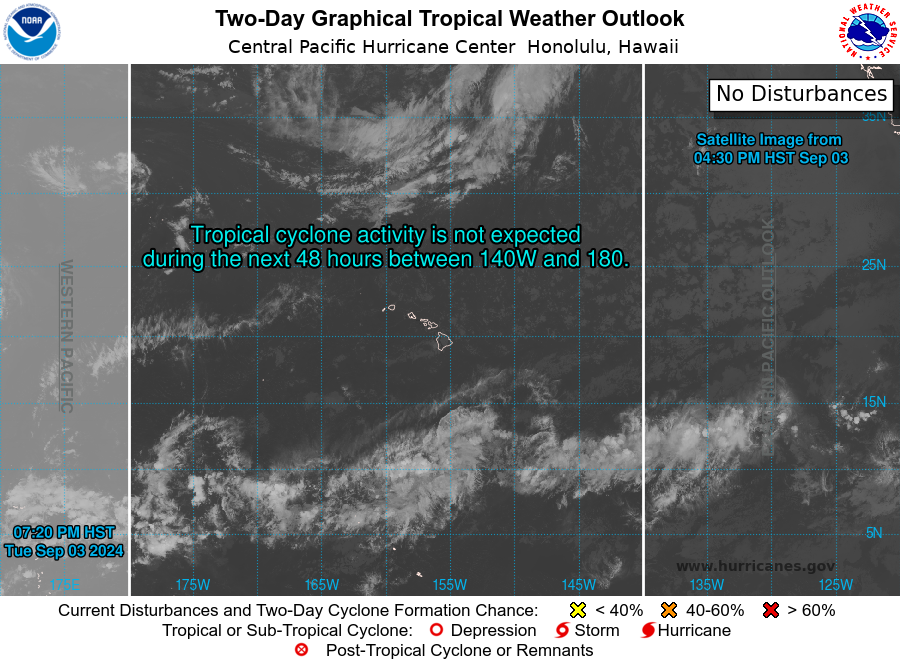
The remnants of Calvin continue to push away from Hawaii as a cluster of persistent thunderstorms located within a trough. In the East Pacific, a new area of interest has a small window for a short lived TC, finally in the Atlantic we are monitoring tropical storm Don who should move off to the North and weaken and a new area of interest in the main development region which could bring stormy conditions to the Caribbean later this week. Let’s break it down below.
Current Tropical Conditions
The remnants of Calvin continue to move away from Hawaii as strong upper level winds have opened the TC into an open wave. While redevelopment of this area is not expected, the region is still being monitored due to persist strong convection over the past 24 hours. We should see this region continue to weaken and the Central Pacific should become quiet again.

In the Eastern Pacific, an area of interest has a moderate chance to develop in the next day or so as a short Lived TC before upper level winds and cool water temperatures cause the region to weaken. This are isn’t expected to bring impacts to any landmasses, but it will work to increase the accumulated cyclonic energy (ACE) of the basin.

Finally, in the Atlantic Basin, Tropical Storm Don continues to swirl around the Northern Atlantic. Tropical Storm Don won’t bring any impacts to nearby landmasses, but it will remain organized within that same region for the next week. The main interest needing to be monitored will be the Invest currently located within a monsoon trough in the main development region. This invest, 95L, is currently enmeshed within the monsoon trough, but as the invest moves westward and gain latitude gradual development into a TC by early next week.

Extended Outlook
As we look ahead, the main region worth monitoring will be the Atlantic Basin. As the aforementioned invest 95L begins to separate from the monsoon trough and gradually develop into a TC early next week. Interests within the Caribbean should continue to monitor this system as dangerous surf, high winds, and heavy rainfall could all be hazards that a TC would produce.
Within the Eastern Pacific, conditions will remain largely favorable for continued tropical development after Invest 95E develops. Low vertical wind shear and warm SSTs will continue to exist and it will simply be on tropical waves or areas of low pressure to form in the region to encourage tropical development.
Conclusion
Don will continue to move around the Atlantic. Once DOn weaken and/or dissipate, attention will turn back once again to the Eastern Pacific and Central Atlantic for more tropical development over the next 1-2 weeks. The Eastern Pacific, at least for the moment, will carry more favorable conditions to allow for any potential disturbance to organize, whereas things are still a bit hazy in the Central Atlantic. Some indications of an organized system developing are evident, but overall confidence and consistency is low at this time. Regardless, our attention will have to be had to both of these regions, where conditions may change suddenly and rapidly, especially as we get deeper into the 2023 Hurricane Season.

