Happy Saturday I hope your work week went well. I have quite the forecast to present here, so let’s get started. Looking at our general information, two things are present, the heat and rainfall chances. Looking at the temperature profiles, hot, humid air is expected during the day tomorrow, with temperatures expected to climb into the high 90s. Looking at our rainfall chances, there is a chance of scattered thunderstorms. One or two storms may turn severe, with high winds and heavy rain being the primary threats. Let’s dive into the forecast.
The Heat Continues Some Releve Ahead
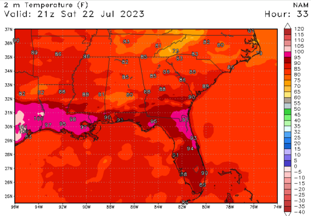
If you have paid attention to the weather in the Southern United States, you no dought have seen the above-average temperatures in the region. Areas in the Southwest have been hit particularly hard by this heatwave. Over the last few days, this heat wave has started to push east, causing temperatures in the forecast area to climb to oppressive levels. Today is no expectation, with forecasted temperatures expected to climb into the high 90s. Local areas could see air temperatures as high as 100 degrees Fehernight (38 degrees Celsius). This does take into account the heat index, which could climb as high as 110 degrees Fehernight (43 degrees Celsius). Please remember to watch for heat illness and make sure to stay hydrated if outside.
Some Releaf is Ahead
There is some good news about the heat; there is some relief heading into next week. A Trough and stationary front is expected to dive down from Canada, bringing cooler weather and a higher chance of rainfall. Temperatures are expected to drop into the high 80s by Sunday and stay around 90 degrees Fahrenheit (32 degrees Celcius) next week. Not only will temperatures drop, but rainfall chances will increase throughout this week. Let’s dive into the rainfall chances.
Rainfall Chances Will Increase
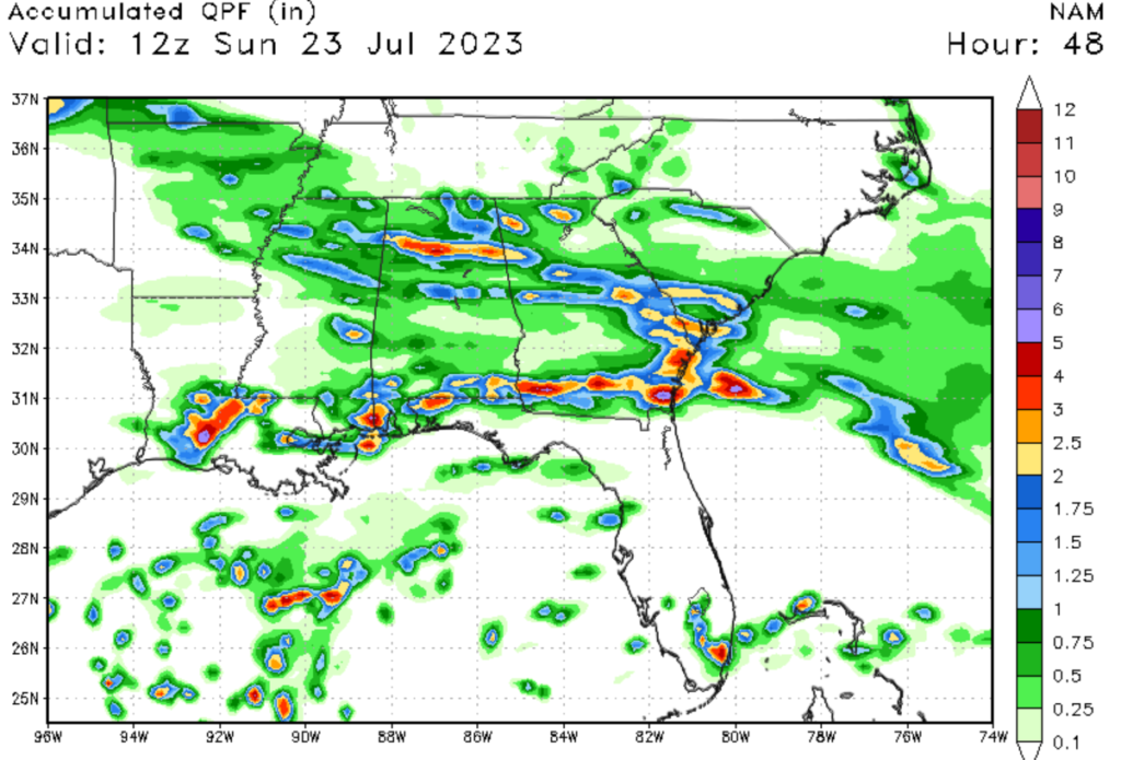
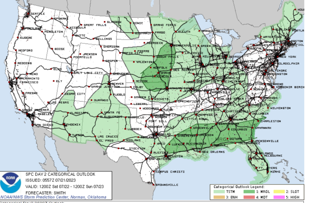
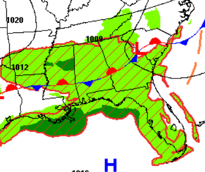
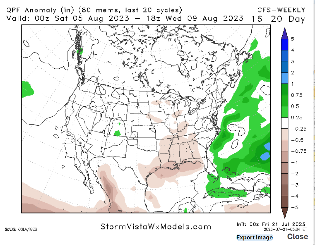
Looking at our rainfall chances today, most areas in the region can expect anywhere from a 40 to a 60% chance of rainfall; any rain that falls will come from convective thunderstorms that developed from the afternoon sea breeze. Rainfall chances will be greatest in the evening when temperatures cool down. There is a marginal risk of severe weather today. The primary threats will be high winds and heavy rainfall, possibly flash flooding. Looking at the next few days, the stationary front will increase rainfall chances in the region. This is good because areas of the Gulf Coast are experiencing drought conditions, so this rainfall will be beneficial.
Extended Outlook
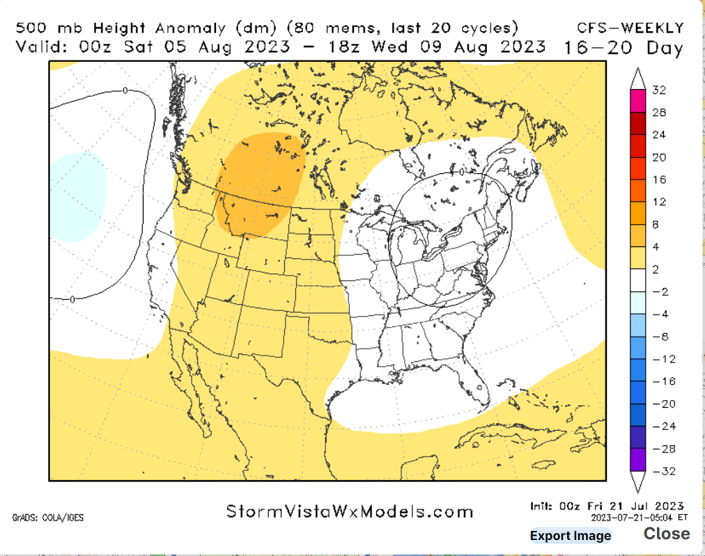
Looking at the extended forecast, the release I was talking about will not last long. Models are agreeing that the trough mentioned earlier will weaken and allow hot and dryer conditions to reappear. Unfortanly, this will not only allow temperatures to climb back into the mid-90s, but precipitation chances will also be lower into next weekend, so enjoy the relief this weekend.
5 Day Forcast
Today: Sunny with a chance of thunderstorms, high 96, with a heat index of 110. Winds west at 5 to 10 mph. Chance of precipitation 60%.
Tonight: Showers and thunderstorms are likely. Low 78. Winds southeast at 5 to 10 mph. Chance of precipitation 60%.
Sunday: Showers and thunderstorms are likely. High 88. Winds northwest at 5 to 10 mph. Chance of precipitation 90%.
Sunday Night: Partly cloudy with a chance of thunderstorms. Low 76. Winds west at 5 to 10 mph. Chance of precipitation 50%.
Monday: Showers and thunderstorms are likely. High 93. Winds west at 5 to 10 mph. Chance of precipitation 70%.
Monday Night: Mostly clear, low 77. Winds southwest at 5 to 10 mph. Chance of precipitation 20%.
Tuesday: Showers and thunderstorms are likely. High 93. Winds west at 5 to 10 mph becoming east. Chance of precipitation 60%.
Tuesday Night: Mostly clear, low 79. Winds south at 5 to 10 mph. Chance of precipitation 20%.
Wenesday: Showers and thunderstorms are likely. High 93. Winds west at 5 to 10 mph becoming east. Chance of precipitation 70%.
Wenesday Night: Mostly clear, low 79. Winds south at 5 to 10 mph. Chance of precipitation 20%.


