Hello everyone and happy Wednesday! Today will be my last post for the site and I am truly happy I got to forecast for everyone in this region this summer. If you would like to see what I will be up to, I will continue to forecast for the Central Gulf Coast region with Fox 44/NBC 33 in Baton Rouge, LA.
Now to what we can expect weather wise for the next few days.
Two ridges are to the east and west as we have more northeasterly winds over the area. The upper-level trough will exit the Eastern U.S. by Thursday morning. A shortwave will be moving through the plains but will stay north of the area into Thursday. This general pattern combined with the winds from the northeast will decrease the rain chances for the short-term.
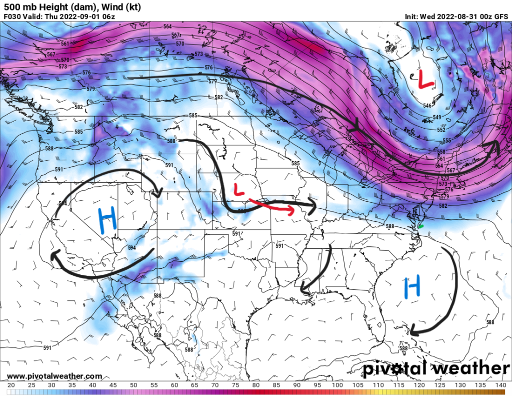
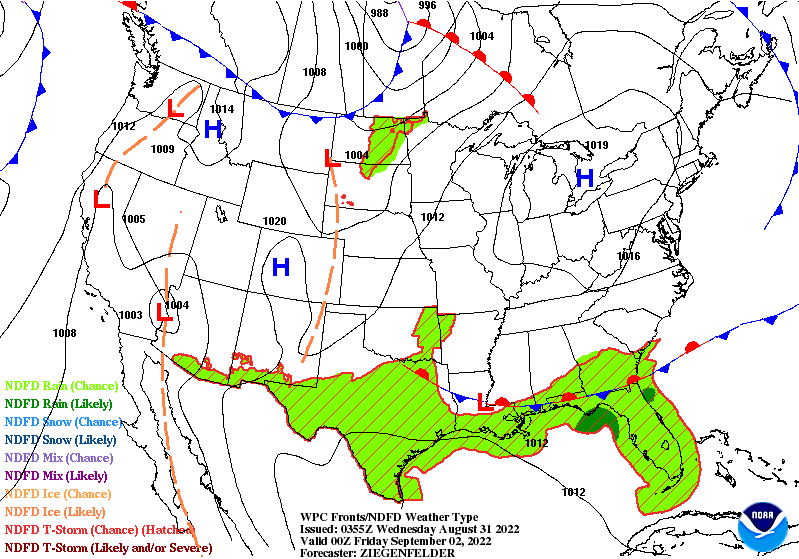
A frontal boundary will be moving southward below the shortwave and the trough. It will eventually stall out near the coast. Behind the boundary will be some drier air that will keep rain chances in the 20 to 30-percent range. Due to this, precipitable water values will drop below 1.5″. Showers and storms may still pop up Wednesday and Thursday due to daytime heating, but will be isolated in nature and will not drop any heavy amounts of rainfall.
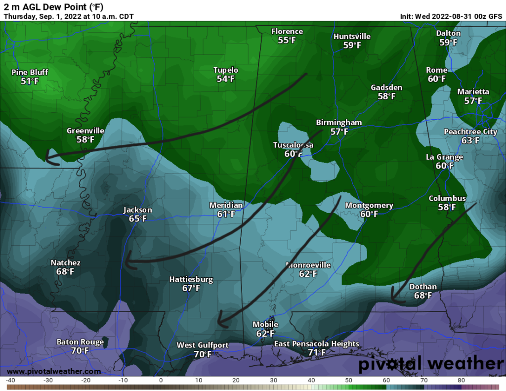
The higher rain chances will be more towards the west and east away from SE MS and SW AL. With this northeasterly wind, humidity will drop as well with dewpoints falling into the low-to-mid 60s. This will be a nice change of pace for a bit. Temperatures will be typical in the low 90s; however, heat indices could be in the upper 90s on Wednesday before those dewpoints drop more by Thursday.
This setup won’t last long before the winds shift to a more southerly flow from the Gulf by Friday and rain chances increase. Dewpoints will rise back into the 70s and precipitable water values will return to near 2″. With the increase in rain and clouds towards the weekend, high temperature will be more milder near the mid 80s.
Day-to-Day Forecast
Wednesday
Mostly sunny with a 20-percent chance of a pop shower or storm in the late afternoon. Highs in the low 90s with heat indices reaching to the upper 90s. Lows in the upper 60s.
Thursday
Mostly sunny with a 20-percent chance of an isolated shower or storm. Highs in the low 90s. Lows in the upper 60s.
Friday
Partly cloudy with a 60-percent chance of thunderstorms in the afternoon. Highs in the upper 80s and low 90s. Lows in the low 70s.
Saturday
Cloudy with a 80-percent chance of precipitation. Highs in the mid 80s. Lows in the low 70s.
Sunday
Mostly Cloudy with a 80-percent chance of precipitation. Highs in the mid 80s. Lows in the low 70s.
Labor Day
Mostly Cloudy with a 70-percent chance of precipitation. Highs in the mid 80s. Lows in the low 70s.
Tuesday
Partly cloudy with a 60-percent chance of precipitation. Highs in the mid 80s. Lows in the low 70s.


Thank you for the work you’ve done! Congratulations for your successful internship and best wishes for your new career. After having Nick as your mentor, you’re destined to be successful. Thanks for a job well done!