Happy Sunday folks! Temperatures are expected to reach the lower 90s today with dewpoints a little muggier this morning (75F) becoming a bit more dry this afternoon (72F). The combination of the temperature and humidity will cause heat indices to reach the lower 100s this afternoon. On the flip side, drier air aloft has moved over the region and will keep skies mostly sunny throughout the day with a 5mph breeze from the west southwest by the afternoon.

Northerly flow at 500mb between an amplified ridge over the central U.S. and large-scale trough over the Northeast and Great Lakes is allowing drier air to pass over the region keeping precipitation chances minimal today and relatively low the next few days. The pattern over SW MS is expected to remain similar over the next 7 days as the ridge begins to shift westward and the trough digs farther southward by the middle of next week.

Despite a dry day today, Gulf moisture aloft will return as early as Monday and should persist throughout at least the next 7 days bringing chances for showers and thunderstorms once again. The above image is the forecasted dewpoint at 850mb, a crucial level to have moisture for thunderstorms. Values ranging from 14C-to-17C (57F-to-63F) will be sufficiently moist to allow numerous showers and thunderstorms across the region this Thursday.
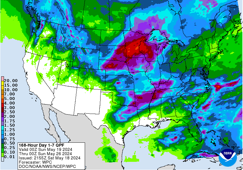
This 850mb moisture will linger across the region allowing for wetter weather during the weekdays this week, mainly during the last half. Over the next 7 days, parts of SW MS could accumulate anywhere from 1.50″-2.50″, with locally higher amounts in any longer-lasting thunderstorms.

Looking further ahead, the chances for below average temperatures (mid and upper 80s) is increasing in the 6-to-10 day window. Keep in mind these are below average temperatures for August, so the temperatures themselves may not individually be considered cool, but they are much more comfortable than the above average temperatures that the majority of this summer has brought.
Day to Day Forecast
Today
Sunny. Highs in the lower 90s. Heat Index values around 101F.
Tonight
Mostly clear. Lows in the lower 70s.
Monday
Mostly sunny with a 20-percent chance for showers and thunderstorms in the afternoon/evening. Highs in the mid 90s. Heat Index values around 104F.
Monday Night
Partly cloudy. Lows in the lower 70s.
Tuesday
Mostly sunny with a 40-percent chance for showers and thunderstorms in the afternoon/evening. Highs in the mid 90s. Heat Index values around 103F.
Tuesday Night
Partly cloud with a 20-percent chance for showers and thunderstorms before midnight. Lows in the lower 70s.
Wednesday
Mostly sunny with a 60-percent chance for showers and thunderstorms in the afternoon/evening. Highs in the lower 90s.
Wednesday Night
Mostly cloudy with a 40-percent chance for showers and thunderstorms. Lows in the lower 70s.
Thursday
Mostly cloudy with a 60-percent chance for showers and thunderstorms in the afternoon/evening. Highs in the upper 80s.
Thursday Night
Mostly cloudy with a 40-percent chance for showers and thunderstorms. Lows in the lower 70s.
Friday
Partly cloudy with a 60-percent chance for showers and thunderstorms in the afternoon/evening. Highs in the mid 80s.
Friday Night
Partly cloudy. Lows in the lower 70s.
Saturday
Partly cloudy with a 40-percent chance for showers and thunderstorms in the afternoon/evening. Highs in the mid 80s.
Saturday Night
Partly cloudy. Lows in the lower 70s.


