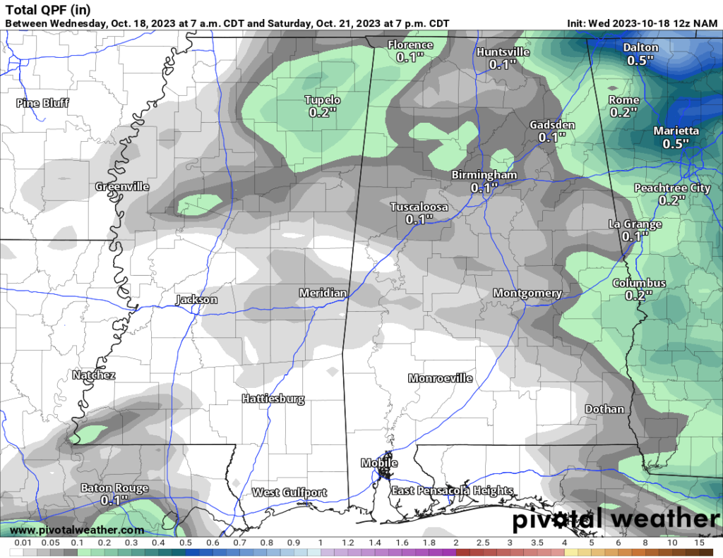
The weather pattern remains pretty boring over the next few days. But that is good news for folks with outdoor plans this weekend.
Today and tomorrow will be sunny with highs in the mid to upper 70s. By Thursday night we will start to see the clouds increase and may see a slight chance for some light rain and drizzle in the area. The overnight lors will be around 55 to 60. The chance for rain will be around 30 percent.
Friday looks mostly sunny after some morning clouds and lingering drizzle. Highs will be back in the upper 70s. The chance for rain will be around 30 percent.
After that point, we get back into a northwest flow with more dry weather settling into the area. Looking at the 500mb map you can see all of the wind barbs pointing from NW to SE from the Canadian border all the way down to the Gulf Coast.
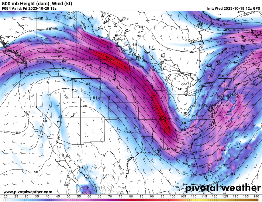
That means plenty of nice weather for this weekend. Highs will be around 80 with plenty of sunshine.
Same goes as we move into next week.
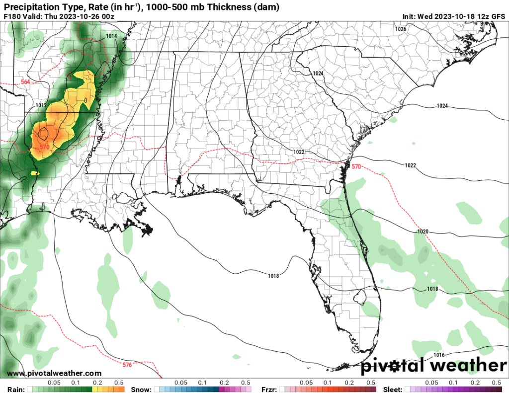
But by mid-week next week we may get another shot for some rain. So far it looks pretty meager, but it is worth monitoring, for sure!
As for Halloween….
A good number of people have sent me a note about a post making the rounds on social media calling for snow in Mississippi on Halloween.
My first repossess:

I posted on facebook that it has been about 7 years since the last time there were temps in the 40s (not even the 30s) on during Trick-or-Treating. And that was wrong. I got my years crossed up. It wasn’t 2016, it was 2019. I knew it was pre-pandemic, but I went back too far.
For Halloween in 2019, it was in the mid 40s and there was a reasonable breeze, too. We picked up about 2.5″ of rain as a system rolled through early that morning.
In fact, I wrote, “Your kids may be Trick-or-Treating in the coldest temperatures since 2014 tonight across the Pine Belt. Bundle up the kiddos as temperatures will be down into the 40s as they go door-to-door picking up delicious treats” that day.
That got me thinking: “Just how cold has it been on previous Halloweens?”

Turns out the climate data shows that the 1960s were a pretty cold decade for Halloween. From 1963-1966 the average low temperature on Halloween was around 41 degrees! That means kids were likely walking around in the mid-to-upper 40s.
I recall Rex talking about the ’60s Halloweens, saying, “I was frigid cold one year as a kid. It must’ve been one of those years.”
The warmest Decade was the 1940s were the warmest with overnight lows averaging the mid to upper 50s! That means kids were likely trick or treating around 68 degrees some years! That is Room temperature!
But since the ’70s things have held pretty steady around 50F for an overnight low, which means kids are out and about in the upper 50s and low 60s.
While I didn’t know the statistics specifically, I knew the general climatology. But seeing that the coldest temperature registered during Trick-or-Treating hours was around 40F, and then seeing a post calling for snow – I was floored.
But “Mississippi News” posted that “some weather forecasts talking about below freezing temps and maybe some snow” which got people in a bit of a flurry, themselves.
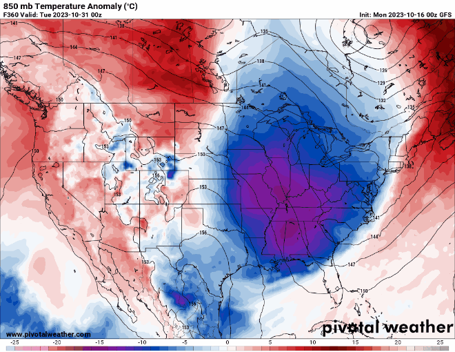
Problem is, that there is no “forecast” calling for such a thing. And any model guidance that does show that isn’t accurate. And has since changed. As shown below.
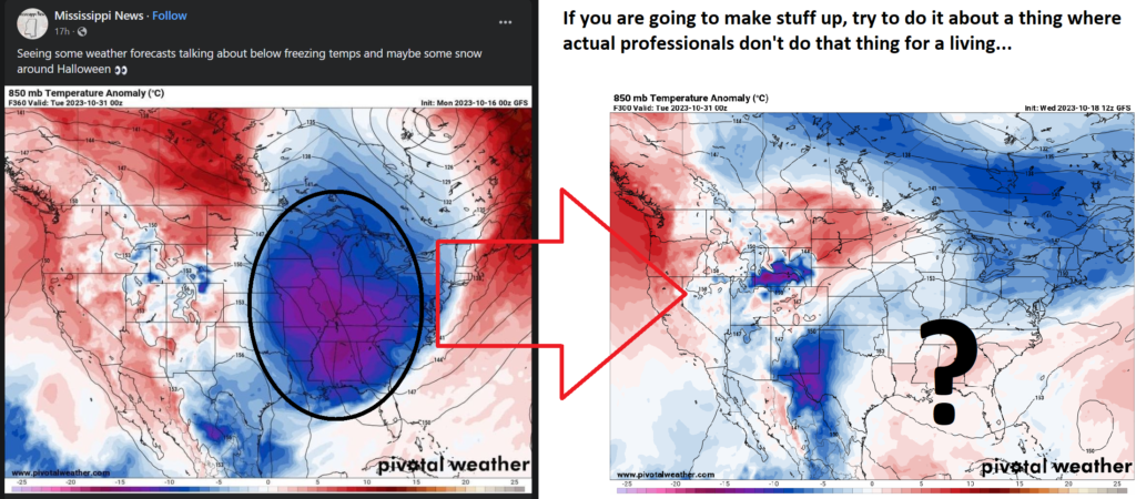
As I point out on the right image above, if you plan to simply make something up to get traction on social media, maybe try to do it about something that isn’t so easily disproven.
I will say, this is a good learning opportunity for everyone – including this facebook page. There is a big difference between a weather forecast and model data. The above two images are simply model data. That isn’t a “weather forecast” done by a human, but rather just what a computer model things will happen given a set of initial conditions.
Often a “forecast” is put together by a human that looks at multiple computer weather models to determine the correct blend of each that offers the most accurate look at the potential outcome. Often a meteorologist will use model data to support a forecast. But a good meteorologist will never just post model data as a forecast.
In fact, it is probably a good test for everyone to remember. If you see a post where it is one or two lines and some model data like that map. It probably isn’t a forecast and is most likely just model data.
And model data changes. A lot. Like, a lot, a lot.
Here is an animation of all of the different changes to the model data that have happened since that post was made:
Not a lot of consistency, either.
This is why when people send me a map with cold temperatures or snow and ask, “is this real?” I have a tough time coming up with an answer.
Because, yes. The map is real. Yes, the model data is real. But often the message the data is conveying is not accurate. And it is difficult to explain that without (like in this post) a lot of supplemental material.
I write all of that to say, “Snow and below-freezing temperatures are very unlikely.”


