It looks like another nice day, today. The area is in for some more sunshine. Highs are expected in the mid-70s. North winds will be gentle, around 5 mph. The clear night sky will allow temperatures to drop into the upper 40s.
As upper ridging takes hold, a surface high will move eastward late Tuesday night into Wednesday.
That shift means that the low-level flow will also flip back to the southwest. It won’t have a big impact tomorrow, with more sunshine and temperatures in the mid-70s again, but this change in the wind direction will eventually lead to even warmer temperatures later this week.
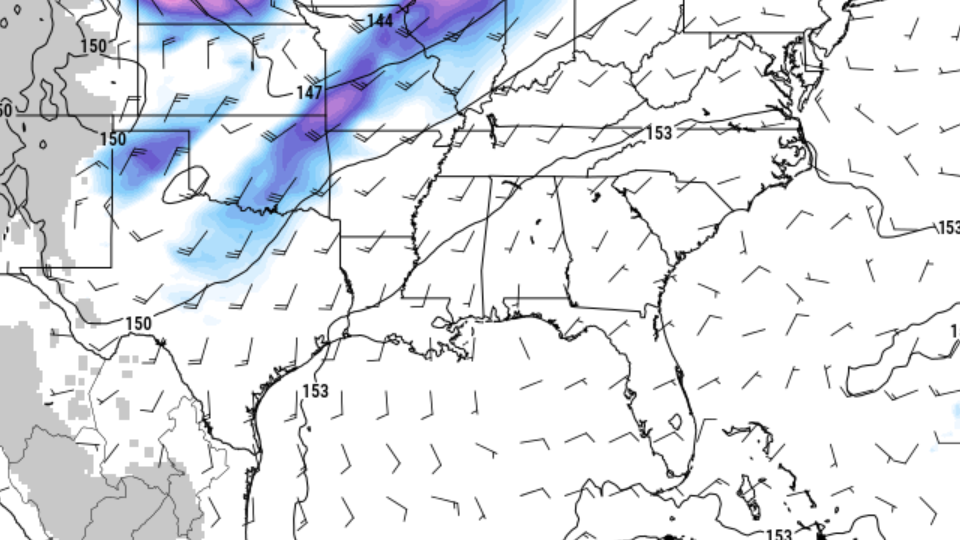
As we move through Wednesday night into Thursday, we’ll start to see moisture gradually increase with the return flow, denoted by PWAT (Precipitable Water) exceeding 1 inch. That, mixed with temperatures back to around 80 degrees Thursday afternoon, it won’t feel quite as Fall-like outside.
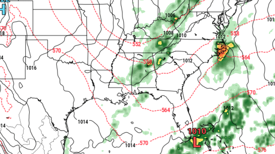
An upper trough and an associated surface cold front will roll in Thursday night. It will bring a few showers and maybe some thunderstorms on Thursday night into early Friday. Afterward, the flow will turn northwesterly once more.
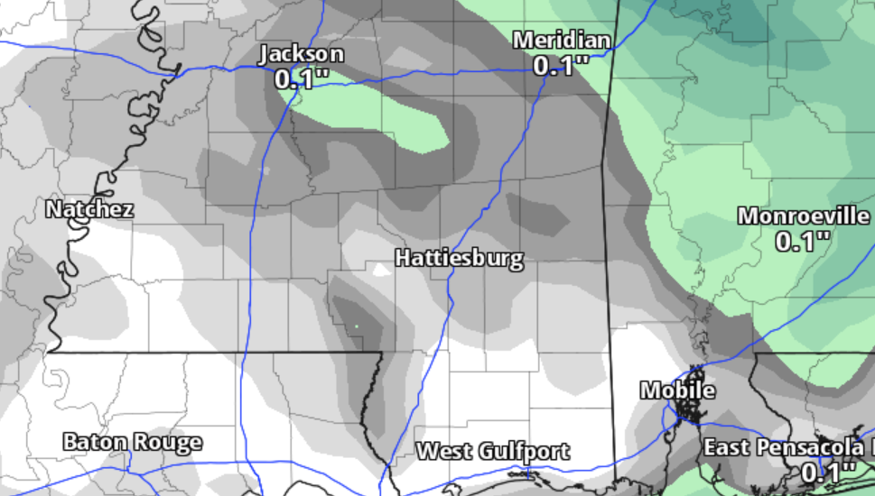
Don’t get too excited about how much rain we will see, though. Current rainfall estimates are running below 0.1″ in most spots.
Once the front – and rain – move out, we are back to drier conditions and slightly cooler temperatures. And I do mean slightly. Temperatures will be in the upper 70s Friday. And it’ll be breezy with wind gusts up to 25mph possible.
Thing calm down this weekend with more sunshine and highs in the low 80s,
Next week we will stay warm earlier int he week with highs continuing to run a few degrees above normal.


