Happy Friday everyone! It is an bad time for weather here in Southern MS/AL/LA region with scattered thunderstorms and high temperatures all across the area today. This weekend will continue the trend of high temperatures and scattered storms as our ridge-trough pattern is expected to amplify.
[wpcode id=”41149″]
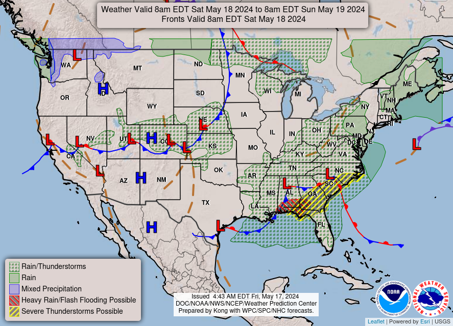
Scattered Showers and Isolated Thunderstorms
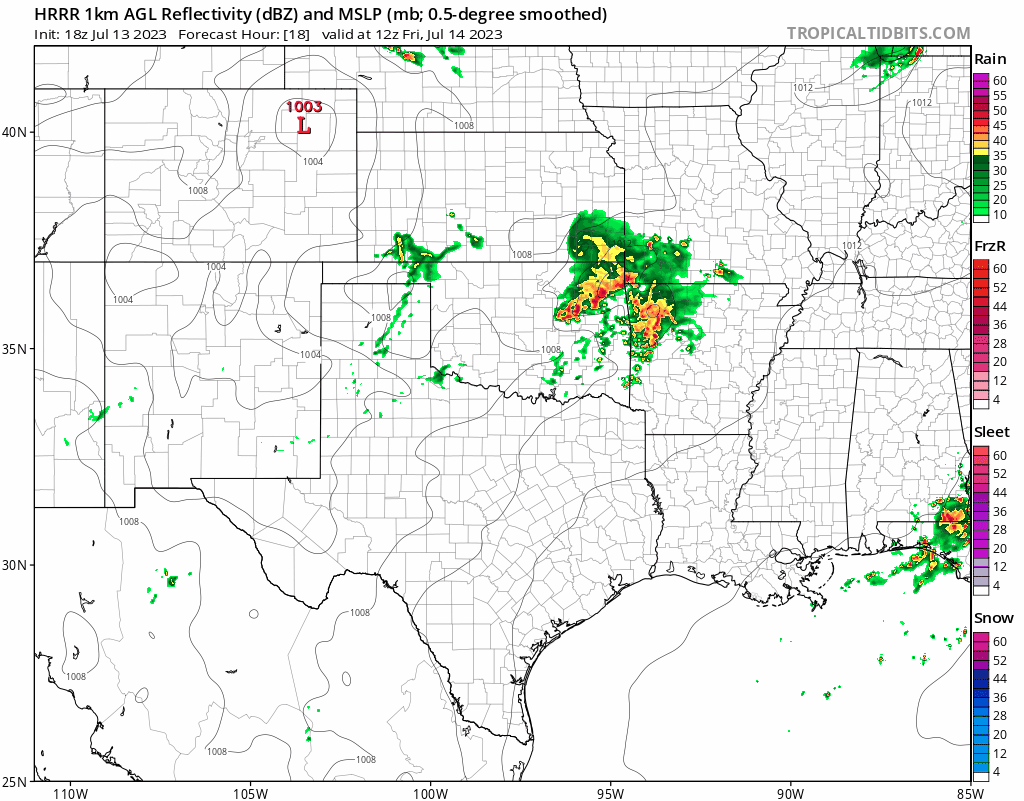
A stationary front sitting north of our region ahead of the approaching cold front will generate a lot of severe weather and flooding across the Midwestern Plains extending down into Mississippi. Later this afternoon, there will be a squall line of intense storms moving southeast through Arkansas into Northern Mississippi Friday afternoon with the possibility of flooding throughout the region. By the time it reaches Alabama, convection will have died down a bit for less severity but still having significant thunderstorms and rainfall in the area extending into Saturday.
Further south towards the coast into Southern Louisiana, weather will be a bit calmer with rain being more isolated and the evening expecting to be rather calm. Saturday will still bring scattered storms across the region as the front approaches the Southeast region.
[wpcode id=”41149″]
Weekend Heat Risk

The anomalously strong over the Southwest US will be the cause of much of the elevated heat risk throughout the area today for the much of the weekend. The upper-level high will bring northwesterly winds aloft that will be hot and dry. This ridging will be expected to remain for the time being as it shifts east later into next week. This overall ridge-trough pattern is expected to amplify over the next several days which will heighten its impact of rain and heat throughout the area. The worst of this heat will be further west into Texas.
[wpcode id=”41149″]
Extended Outlook

Looking further out about two weeks, much of the western half of the country will be expected to be above average in temperature while the Eastern Central region will be cooler. The South Central and Gulf region will still be expecting warm temperatures as the upper-level ridging persists for at least the coming week into next weekend.
[wpcode id=”41149″]
Regional Day-To-Day Forecast
Today: Partly cloudy. Scattered showers and thunderstorms. High temperatures in the low to mid 90s, strong heat index values into the 100s. Winds from the West 5 to 10 mph. Chance of rain 40%.
Tonight: Partly cloudy. Low temperatures in the upper 70s to low 80s. Winds from the South 5 to 10 mph.
Saturday: Partly cloudy. High temperatures in the low to mid 90s. Winds from the Southwest 5 to 10 mph. Chance of rain 20%.
Saturday Night: Partly cloudy. Low temperatures in the upper 70s to low 80s. Winds from the South 5 to 10 mph
Sunday: Mostly sunny. Chance of showers and thunderstorms in the afternoon. High temperatures in the low 90s. Winds from the South west 5 to 10 mph. Chance of rain 50%.
Sunday Night: Mostly clear. Low temperatures in the upper 70s to low 80s. Winds from the South 5 to 10 mph. Chance of rain 20%.
Monday: Mostly sunny. Chance of showers and thunderstorms in the afternoon. High temperatures in the low 90s. Winds from the West 5 to 10 mph. Chance of rain 30%.
Monday Night: Partly cloudy. Low temperatures in the upper 70s to low 80s. Winds from the Southwest 5 to 10 mph. Chance of rain 10%.
Tuesday: Sunny. High temperatures in the mid to upper 90s. Winds from the West 5 to 10 mph. Chance of rain 20%.
Tuesday Night: Mostly clear. Low temperatures in the upper 70s to low 80s. Winds from the Southwest 5 to 10 mph.
Wednesday: Sunny. High temperatures in the upper 90s. Winds from the Southwest 5 to 10 mph.


