
Hi everyone; I hope you all had a great first week of August. Looking at the general picture, one can expect extremely high temperatures with a chance of rainfall. Areas along and east of the Louisiana/Mississippi border should see the highest chance of precipitation. Most of the shower activity will come from typical afternoon convective thunderstorms. With that out of the way, let’s dive into the forecast.
The Heat Continues
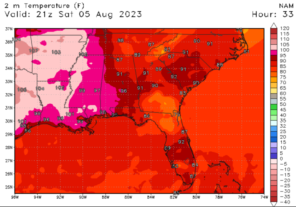
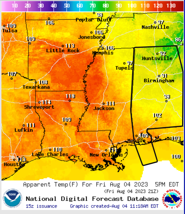
Looking at our temperatures for today, one thing is sure, the heat. Due to the ridge of high pressure, afternoon high temperatures will be much above average, with high temperatures expected to top 100 degrees Fehernhight (38 degrees Celcius). The Louisiana coastline is expected to see the highest temperatures. Areas east of Mississippi can expect slightly cooler temperatures, but afternoon highs will still be in the mid-90s. Heat index values for today will be as high as 115 degrees Fehernhight (46 degrees Celcius), with areas further west expecting the highest heat index values. These dangerous temperatures can cause heat-related illnesses in a matter of an hour or two. Always remember to take heat-related precautions, especially if you are spending extended time outside.
Thunderstorms Expected Further East
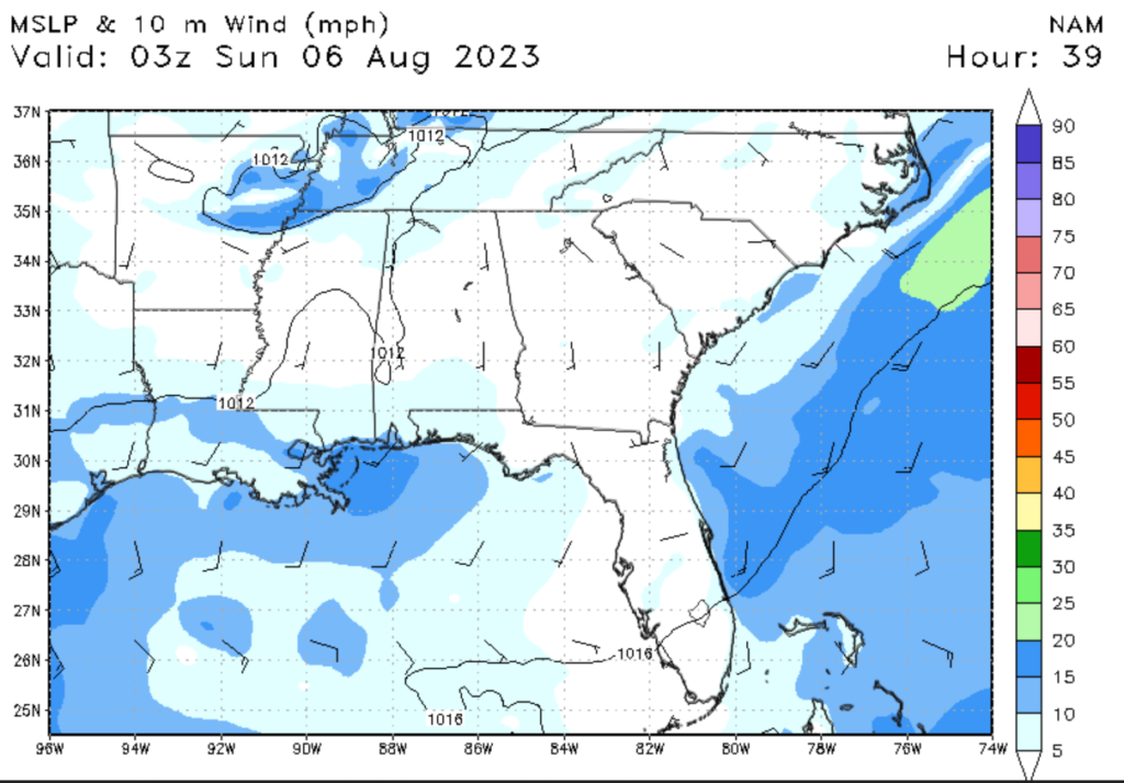

Looking at our rain chances today, most of the action is expected in Alabama and Mississippi, with little to no chance of rain in Louisiana. Local wind patterns and high humidity will create a higher chance of rain on the Alabama Coast. Low-level winds will initially come from the northwest but will shift to the southwest by the afternoon. This will cause moisture from the Gulf of Mexico to move ashore, causing convective thunderstorms to develop. Today’s forecast calls for no chance of severe weather in the region, so any thunderous that forms will not be severe.
Extended Outlook
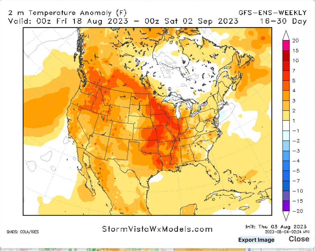
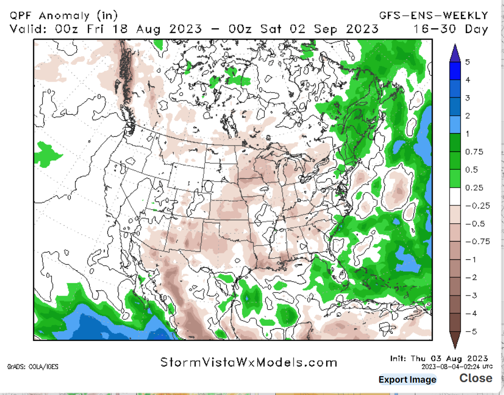
Looking at our extended outlook, the heat is expected to continue to bake the region for the next couple of weeks. Temperatures could cool a little next week, but temperatures will overall be above average for the next couple of weeks. Our precipitation chances will also be below average for the next few weeks, with convective thunderstorms being the only chance of rainfall.
5 Day Outlook
Today: Partly cloudy, with a 50% chance of rain. High 99. Winds west southwest at 10 to 15 mph.
Tonight: Mostly clear with a 40% chance of rain. Low 80. Winds southwest at 5 to 10 mph.
Tomorrow: Sun and clouds mixed with a 20% chance of rain. High 98. Winds west-southwest at 5 to 10 mph.
Sunday Night: Clear, low 81. Winds southwest at 5 to 10 mph
Monday: Sun and clouds mixed with a 15% chance of rain. High 100. Winds west-southwest at 10 to 15 mph.
Monday Night: Mosley clear, low 81. Winds southwest at 5 to 10 mph
Tuesday: Sun and clouds mixed with a 35% chance of rain. High 96. Winds southwest at 10 to 15 mph.
Tuesday Night: Mostly clear with a 30% chance of rain. Low 80. Winds south-southwest at 5 to 10 mph.
Wednesday: Mostly sunny with a 20% chance of rain. High 94. Winds southwest at 10 to 15 mph.


