Howdy!
Currently, there is not much going on, a couple showers out near Monroeville, Jackson, and Greenville in Alabama (as seen in the radar image below).
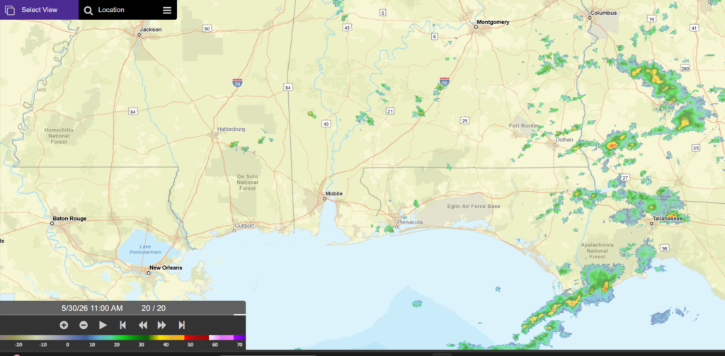
Some showers also in the Florida Panhandle. Temperatures are currently in the mid 80s across the region, climbing up to the upper 80s throughout the day. That is what I expected around this time today.
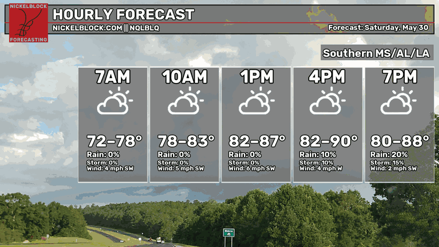
Looking into the rest of today and into tonight, the HRRR model (below) is showing an increase in pop up showers/thunderstorms across Louisiana into Alabama for the evening. The gulf moisture combined with the unstable air (due to diurnal heating) will support the scattered convective development.
No change to the forecast since yesterday, and tomorrow is looking the same as well. The ridging pattern will continue to push into our region giving us those hot conditions, paired with the humidity heat index’s will reach up to 100 degrees in some areas. If you are outside, make sure to take care of yourself this weekend!
Afternoon chances of rain persist into tomorrow and into next week, more rain is expected to our eastern parts than our western. Keep that umbrella handy if you are heading out in the afternoon hours. Other than that, enjoy the rest of your day!


