Plenty of sunshine this afternoon as we continue to bake under a big ridge of high pressure. It’s like Groundhog Day. Only instead of snow and Bill Murray it is hot and humid without Bill Murray.

The ridge will eventually ease back a bit, but generally, it is going to hold through the next 10(ish) days.
Zone Specific Forecast
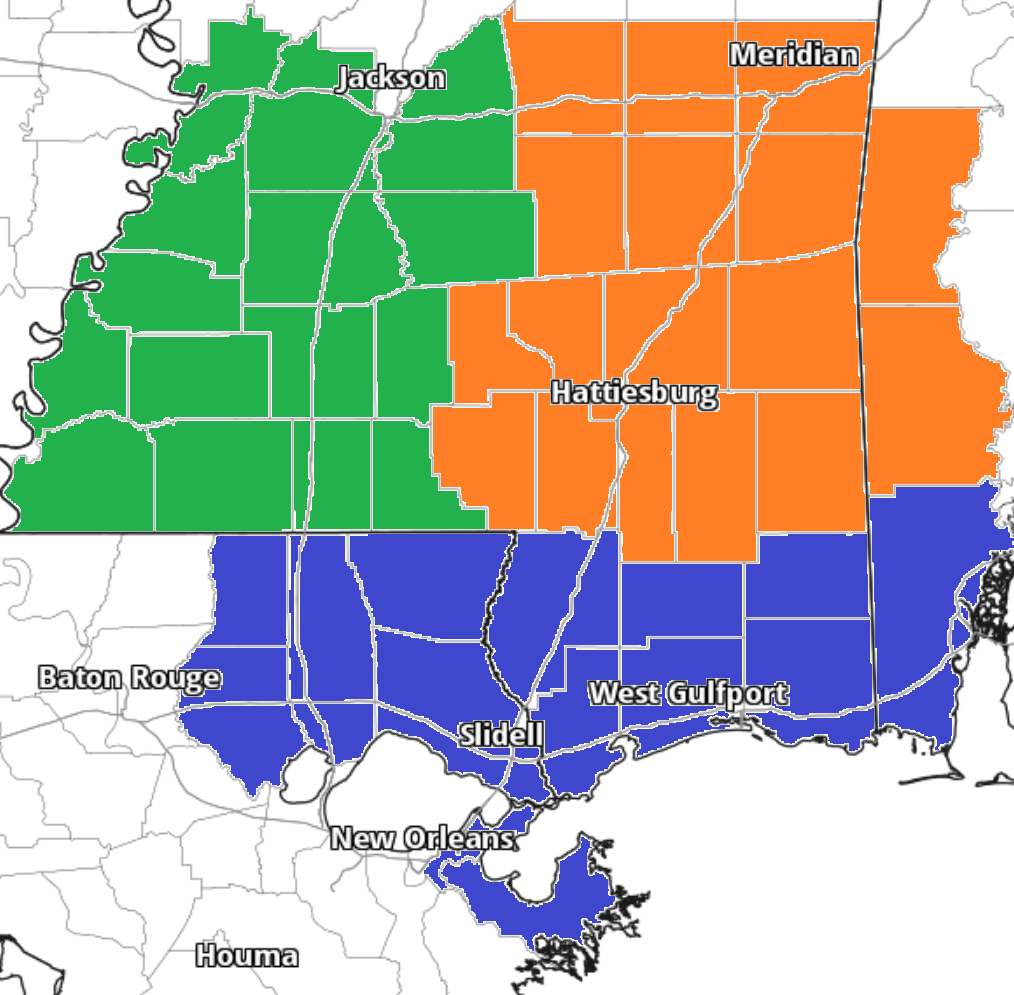
I could go on and on about the big ridge, but I’ll let the interns tackle that! They have a look at the zone forecasts with more specific details about what it means for you!
Team Green on the left, Team Orange in the middle and Team Blue on the right!
Day to Day Forecast
No general day to day forecast today! But a specific day to day forecast for your area is available from the interns at the links above!


