Hot temperatures are expected to continue throughout the next seven days, with very low rain chances each day. The only relief for the heat may be Sunday, where drier air may provide some relief to the humidity.
Saturday is expected to be particularly hot, with the high temperatures reaching near 100 and the heat index approaching 110 in some areas. This excessive heat can be dangerous for outdoor activities, so it is best to avoid strenuous outdoor activities midday Saturday whenever possible.
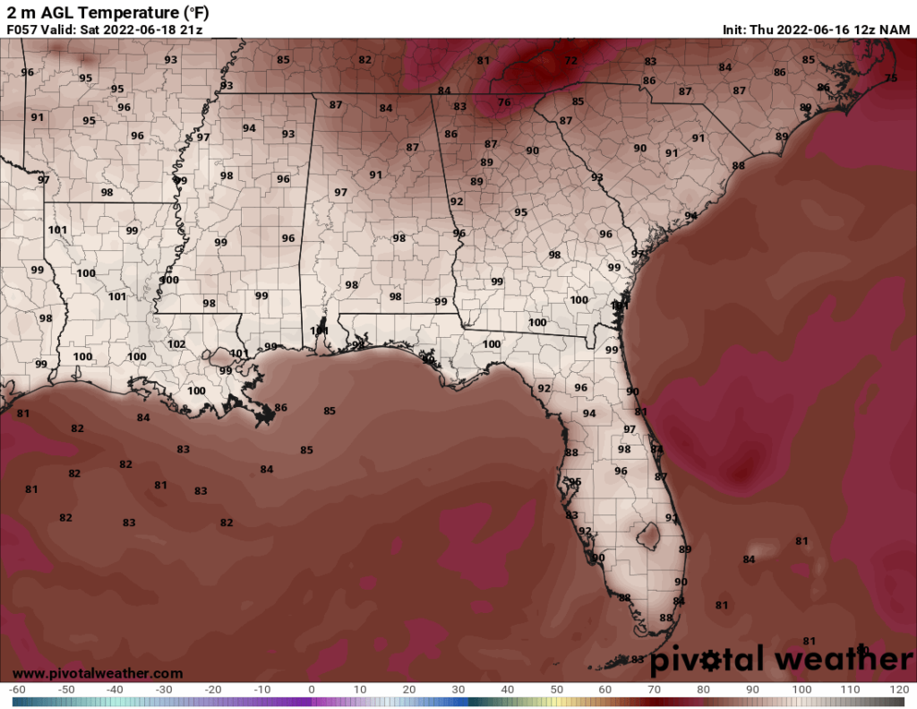
The above image shows the estimated temperatures around their peak on Saturday. This excessive heat can be seen throughout the Gulf Coast.
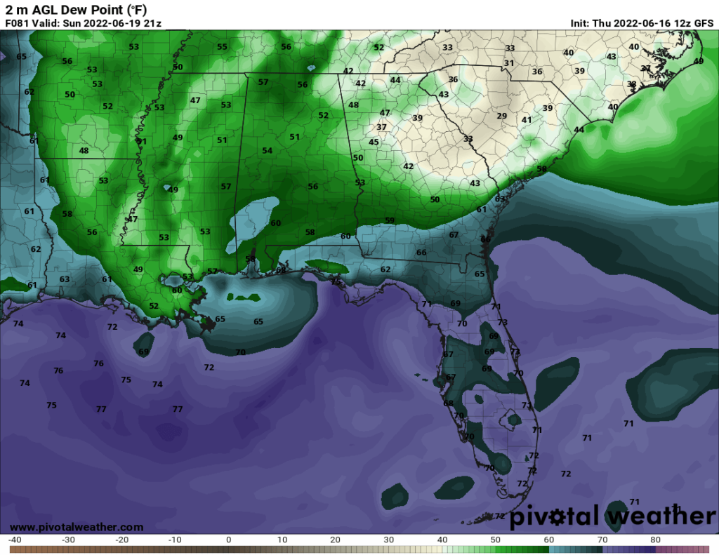
On Sunday, drier air will move into the area, which will decrease the heat index. Sunday is the only day this upcoming week where the heat index is not expected to be above the actual temperature. While it will still be hot on Sunday, with highs in the lower to mid 90s, it will be comparatively cooler than the previous days. This relief is expected to be short-lived, though. By Monday, the dry air will have moved out, and the humidity will return.
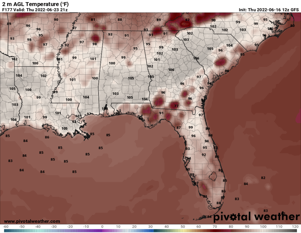
The heat will continue throughout the forecast period, with Thursday seeing the chance for the highest temperatures, which are expected to reach the upper 90s. The GFS model sometimes overestimates temperatures by a couple of degrees, so the forecast is for upper 90s rather than 100. Still, this heat is nothing to take lightly. The heat index Thursday is expected to be over 100.
Day to Day Forecast
Friday
Mostly sunny. Highs in the low 90s. Heat index around 105F. Winds light and variable. Chance of rain 10-percent.
Friday Night
Mostly clear. Lows around 80. SW winds shifting to NW at around 5 mph. Chance of rain 20-percent.
Saturday
Sunny. Highs near 100. Heat index between 105 and 110. Winds N at 5-10 mph. No real chance or rain.
Saturday Night
Mostly clear. Lows in the upper 70s. Winds NNE at 5-10 mph. Chance of rain 10-percent.
Sunday
Sunny. Highs in the lower to mid 90s. Winds NE at 5-10 mph. No real chance for rain.
Sunday Night
Clear. Lows in the upper 70s. Winds light and variable. No real chance for rain.
Monday
Sunny. Highs in the lower 90s. Heat index in the upper 90s. Winds SE at around 10 mph. No real chance for rain.
Monday Night
Mostly clear. Lows in the upper 70s. Winds light and variable. Chance of rain 20-percent.
Tuesday
Slight chance of a morning shower. Mostly sunny. Highs in the lower 90s. Heat index in the upper 90s. Winds light and variable. Chance of rain 20-percent.
Tuesday Night
Mostly clear. Lows in the upper 70s. Winds light and variable. Chance of rain 20-percent.
Wednesday
Sunny. Highs in the mid 90s. Heat index between 100 and 105. Winds N at 5-10 mph. Chance of rain 10-percent.
Wednesday Night
Mostly clear. Lows in the mid 70s. Winds light and variable. Chance of rain 20-percent.
Thursday
Sunny. Highs in the upper 90s. Heat index between 100 and 105. Winds light and variable. No real chance for rain.
Thursday Night
A chance of an isolated thunderstorm, otherwise mostly clear. Lows around 80. Winds light and variable. Chance of rain 30-percent.


