Good morning! Here is your daily reminder to stay hydrated as our pal ‘high pressure/summer ridging’ is still here bringing calm winds and above average temperatures in the upper 90s today. Additionally, moist dew points in the lower 70s will cause Heat Index values to surpass 100F. Skies will be mostly clear today as the high pressure causes air to sink and hinder cloud development; although, a quick thunderstorm or two are possible later this evening.

While parts of the Pacific Coast and Northeast remain cooler, the South is trapped underneath a ridge that hasn’t made much headway in the past several days. This ridge isn’t leaving anytime soon, but some slight variations in its position could foster some (slightly) cooler temperatures next week. Otherwise, the only relief in the hot temperatures will come from scattered evening thunderstorms/showers.
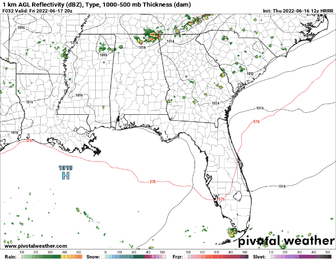
A few scattered thunderstorms and showers should develop later this afternoon/evening as daytime heating reaches its maximum. The exact locations of thunderstorm development are uncertain due to the sporadic nature of these storms; however, as is common in the summer, a seabreeze will likely develop along the coast and push northward reaching parts of the region in the afternoon/evening. These seabreezes act as boundaries that are favorable for sparking thunderstorm initiation.

Within the next 7 days, Sunday will likely be the nicest as drier air moves southwestward across the region, bringing lower dew points (around 60F) and cooler temperatures (lower to mid 90s). Unfortunately, Sunday’s marginal relief will be short lived as warmer temperatures and higher humidity return as soon as Monday and continue for most of next week.
Day to Day Forecast
Today
Mostly sunny with a 20-percent chance for showers and thunderstorms in the afternoon/evening. Highs in the upper 90s. Heat Index values surpassing 100F.
Tonight
Partly cloudy, possible thunderstorm/shower before midnight, then becoming clear. Lows in the mid 70s. Chance of precipitation 20-percent.
Saturday
Mostly sunny with a 20-percent chance for showers and thunderstorms in the afternoon/evening. Highs in the upper 90s. Heat Index values surpassing 100F.
Saturday Night
Mostly clear with lows in the lower 70s. Drier air arrives.
Sunday
Sunny with temperatures in the mid 90s.
Sunday Night
Mostly clear with lows in the mid to lower 70s.
Monday
Mostly sunny with a 20-percent chance for showers and thunderstorms in the afternoon/evening. Highs in the upper 90s.
Monday Night
Clear skies with lows in the mid to lower 70s.
Tuesday
Mostly sunny with a 20-percent chance for showers and thunderstorms in the afternoon/evening. Highs in the upper 90s.
Tuesday Night
Mostly clear with lows in the mid 70s.
Wednesday
Mostly sunny with a 30-percent chance for showers and thunderstorms in the afternoon/evening. Highs in the upper 90s.
Wednesday Night
Mostly clear with lows in the mid 70s.
Thursday
Mostly sunny with a 30-percent chance for showers and thunderstorms in the afternoon/evening. Highs in the upper 90s.
Thursday Night
Partly cloudy, becoming clear. Lows in the mid 70s.


