Another day of some pretty hot temps with only a handful of showers and storms to cool things down. The ridge of high pressure that is building into the region will be with us for the next few days at least, and perhaps into next week.
In the short term: Heat.


Local National Weather Service offices are all messaging Heat Safety.
The big picture shows two ridges of higher pressure aloft. Looking up around 18,000ft (500mb) we have one big ridge across the Four Corners that is poking out across Texas and into our area. And then a second ridge that is out toward Bermuda.

That leaves the area…. well… hot!

Make sure to drink plenty of water, take plenty of breaks if you have to be outside in the heat.
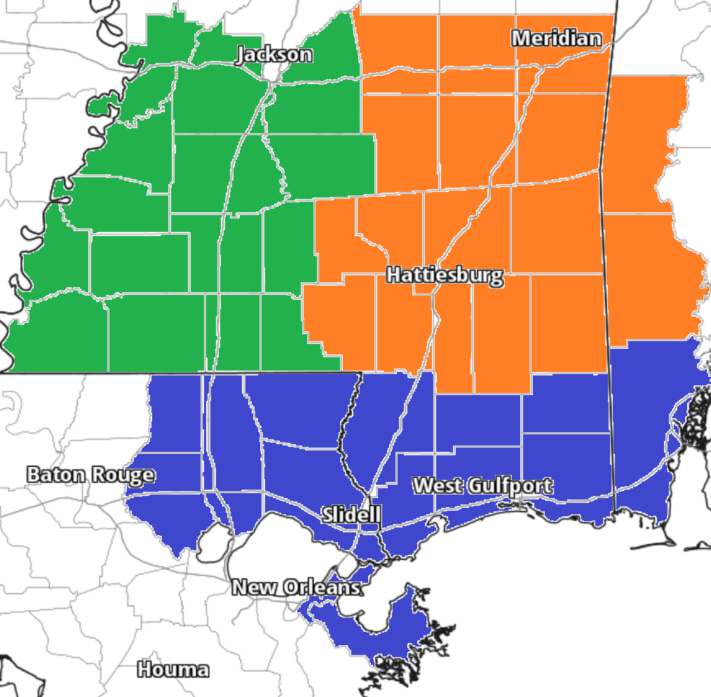
Zone-Specific Forecast
Team Green (southwest Mississippi counties) on the left
Team Orange (southeast Mississippi counties and southwest Alabama counties) in the middle
Team Blue (southeast Louisiana parishes and coastal Mississippi / Alabama) on the right