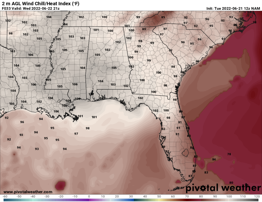
Throughout the SW Mississippi region, the heat wave continues. A persistent ridge over the Southeast is responsible for the heat. The heat will be particularly intense on Wednesday and Thursday, with heat index values potentially reaching 105.
The story is more of the same throughput the next few days, being hot with only slight rain chances. The rain chances do pick up a bit over the weekend, but any showers and thunderstorms will still be isolated.
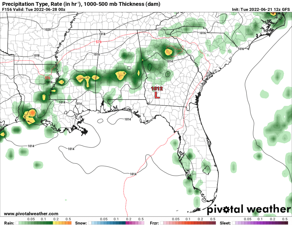
The best chance for rain in the area appears to be Monday evening. This coincides with an expected drop in temperatures expected the following day as the ridge moves out of the area.
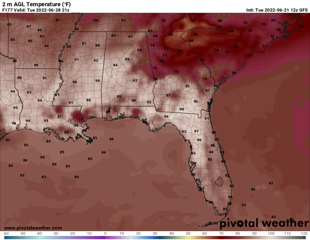
Yes, you read that correctly. The region may finally see relief from the intense heat on Tuesday. Highs are still expected to be around 90, but that is much more manageable than the mid and upper 90s we’ve been dealing with the past couple weeks. Hope may be on the horizon.
Day to Day Forecast
Wednesday
Mostly sunny. Highs in the upper 90s. Heat index around 105. Winds NW at around 5 mph. Chance of rain 20 percent.
Wednesday Night
Mostly clear. Lows in the upper 70s. Winds WNW at around 5 mph. Chance of rain 10 percent.
Thursday
Partly cloudy. Highs in the upper 90s. Heat index between 100 and 105. Winds NNW at 5-10 mph. Chance of rain 10 percent.
Thursday Night
Mostly clear. Lows in the upper 70s. Winds light and variable. Chance of rain 20 percent.
Friday
Mostly sunny. Highs in the mid 90s. Winds light and variable. Chance of rain 20 percent.
Friday Night
Clear. Lows in the upper 70s. Winds light and variable. Chance of rain 10 percent.
Saturday
Sunny with a slight chance of thunderstorms later in the day. Highs in the upper 90s. Heat index around 100. Winds light and variable. Chance of rain 30 percent.
Saturday Night
Mostly clear. Lows in the upper 70s. Winds W at around 5 mph. Winds light and variable. Chance of rain 20 percent.
Sunday
Sunny to start, then becoming partly cloudy later in the day with a slight chance of thunderstorms. Highs in the upper 90s. Heat index between 100 and 105. Winds NW at 5-10 mph. Chance of rain 30 percent.
Sunday Night
Mostly cloudy with a slight chance of thunderstorms. Lows in the lower 70s. Winds light and variable. Chance of rain 30 percent.
Monday
Mostly cloudy with a chance of thunderstorms later in the day. Highs in the mid 90s. Heat index in the upper 90s. Winds NE at 5-10 mph. Chance of rain 60 percent.
Monday Night
Cloudy with a chance of showers. Lows around 70. Winds light and variable. Chance of rain 40 percent.
Tuesday
Mostly cloudy with a slight chance of thunderstorms later in the day. Highs around 90. Heat index in lower 90s. Winds NE at 5-10 mph. Chance of rain 30 percent.
Tuesday Night
Cloudy with a slight chance of showers. Lows around 70. Winds light and variable. Chance of rain 30 percent.


One thought on “Intense heat continues, but relief may be on the horizon: SW Mississippi – 6/22/22”
Comments are closed.