Scattered storms are once again possible today across the region as plentiful moisture and a lingering front helps fuel these diurnal storms. These storms should spark during the day, but wane as night falls and heating is lost. A welcomed relief from the recent heat for sure, but how long will this pattern persist? Let’s dig into it below!
[wpcode id=”41149″]
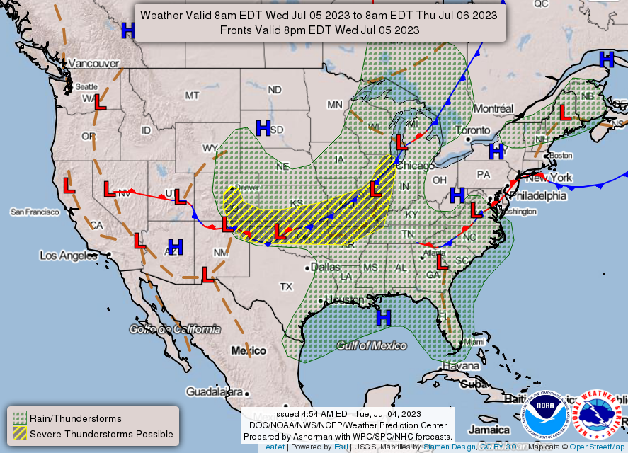
Our soggy weather pattern these past few days should continue which will work to reduce our heat risk and provide beneficial rain to all. This is pattern is due to the presences of a High out West and a Low located over The Great Lakes. This pattern, which is normally dry if found between the months of October and May, is a wet pattern from June through August and works to provide the upper level cyclonic flow support for storm development in the form of successive shortwave troughs. This in combination with a lingering frontal boundary should enhance thunderstorm development. These storms could produce some marginally severe conditions in the form of damaging winds or small hail, but the overall severe threat remains low.
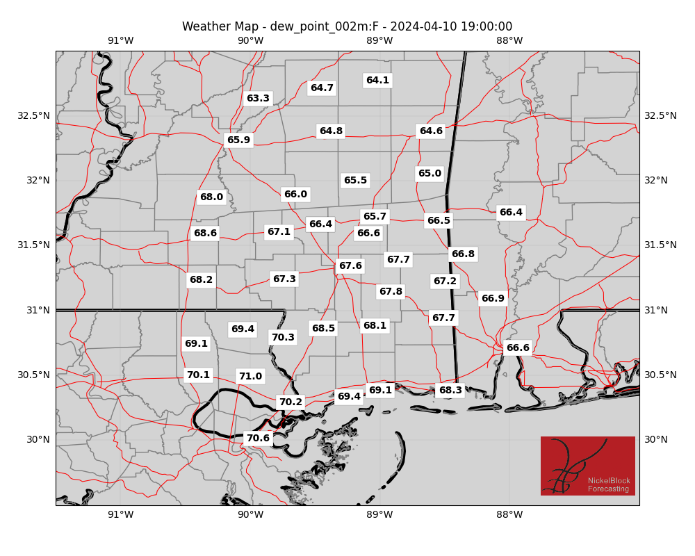
Any areas that escape storm development will need to remain caution of heat. With dew points across the region ranging from the mid to low 70s any areas that allow heat to build could see highs in the low to mid 90s with heat indices of 105 possible. This is still dangerous heat for anyone working outdoors for extended periods of time and caution should still be taken to stay hydrated and safe.

This weekend, we should see scattered storm development chances continue as a pattern change doesn’t look likely in the foreseeable future. Heat will remain an issue as it is summer and any areas that avoid the rain could see a rise in temperatures. Welcome to a typical summer in the South everyone!
[wpcode id=”41149″]
REGIONAL DAY TO DAY FORECAST
Today: Mostly cloudy. A chance of showers and thunderstorms. Highs in the mid 90s. Southwest winds 5 to 10 mph. Chance of rain 50 percent. Heat index values up to 105.
Tonight: Mostly cloudy with a stray shower or storm possible. Lows in the mid 70s. South winds 5 to 10 mph. Chance for rain around 10 percent.
Thursday: Partly Sunny with scattered showers and thunderstorms likely. Highs in the lower 90s. Southwest winds 5 to 10 mph. Chance of rain 70 percent. Heat index values up to 105.
Thursday Night: Mostly cloudy. A chance of showers and thunderstorms in the evening. Lows in the mid 70s. Southwest winds 5 to 10 mph. Chance of rain 40 percent mainly in the early evening hours.
Friday: Partly sunny with afternoon storms likely. Humid with highs in the lower 90s. West winds around 5 mph. Chance of rain 70 percent.
Friday Night: Mostly cloudy with overnight storms likely. Lows in the mid 70s. Chance of rain 50 percent mainly in the early evening hours.
Saturday: Mostly sunny with a few storms likely. Highs in the lower 90s. Chance of rain 60 percent. Heat index values up to 105.
Saturday Night: Mostly cloudy. A chance of showers and thunderstorms, mainly in the evening. Lows in the lower 70s. Chance of rain 20 percent.
Sunday: Partly sunny with storms likely. Highs in the lower 90s. Chance of rain 60 percent. Heat index values up to 105.
Sunday Night: Mostly cloudy. With lingering storms possible. Lows in the lower 70s. chance of rain 20 percent.
Monday: Partly Sunny with storms likely. Highs in the mid 90s. Chance of rain 60 percent. Heat index values up to 105.


Thanks Nick !