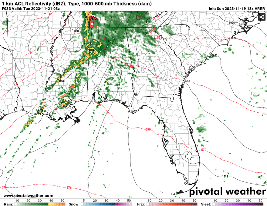
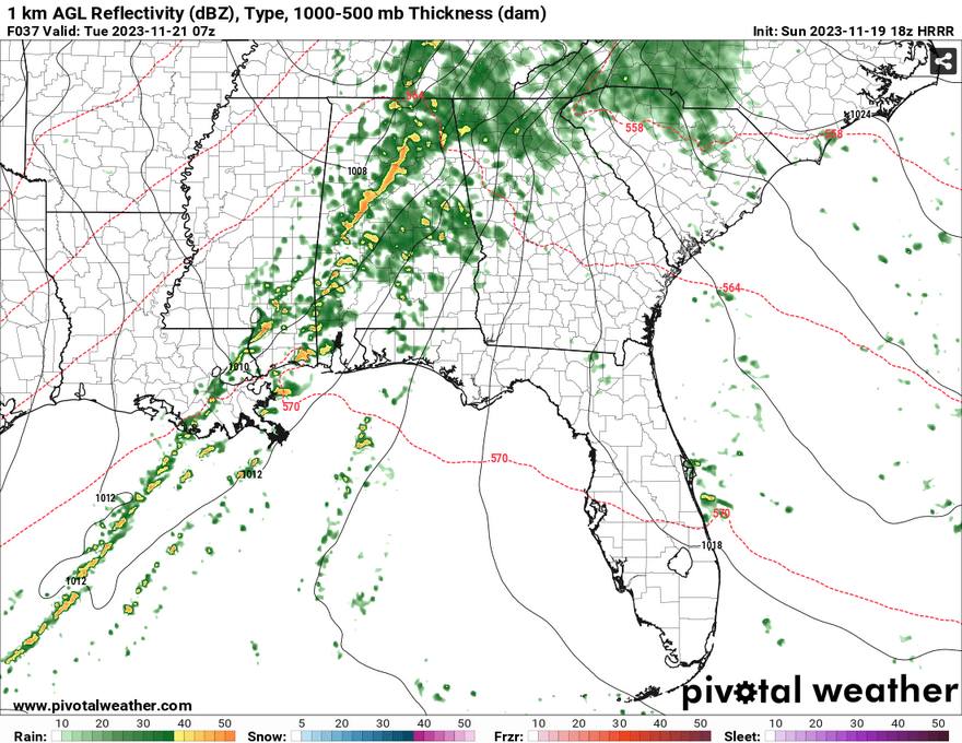
The SPC has narrowed down the field for severe weather tomorrow into Tuesday with a 3/5 threat. Looking at the parameters, this category looks warranted as the setup for the low pressure system looks to be hitting fairly quick but not without a bit under the hood.
There looks to be two sets of storms. The first will be some cells developing out of the south which could bring lightning, hail, and rain. The second line is more developed which will bring heavy rain, lightning, hail, and tornadoes.
Please take a look at Nick’s county-by-county forecast for when this will impact your area.

First off, let’s look at one of the Skew-T’s for reference. The first area of note is the high dewpoint. Second is the high storm relative helicity. Third is the shear, and fourth is the amount of instability. This sounding looks like a mixed bag of possibilities, but like Nick and the SPC have already stated, high winds, hail, and tornadoes are all possible.
Backing winds turning from the south to west with height is a good indicator of possible tornadoes. While they won’t be anything off the charts, these can still be damaging to those in mobile homes and cause damage to foundation homes, buildings, and cars. With plenty of shear to work with, I wouldn’t doubt that straightline winds can happen in excess of 50 mph and can cause damage similar to a tornado. While the hail isn’t as impressive, it can still cause damage to property and anyone in the path of it.
All this to say, please stay aware of any watches and warnings tomorrow night and keep extra pillows, blankets, and a mobile device ready in case you have to take shelter.
[wpcode id=”41179″]
[wpcode id=”41149″]


