Happy Saturday; I hope you had a great week. For today’s weather, one can expect hot and muggy conditions, with a chance of rain. Looking ahead into the next couple of days, the chances of rainfall are expected to increase. I am forecasting that Monday will bring the greatest chance of seeing stormy weather. As for temperatures, they’re expected to stay around average to above average for this time of year.
The Heat Continues
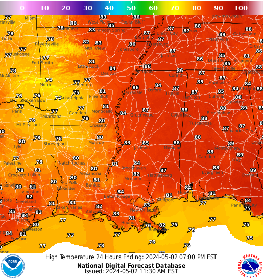
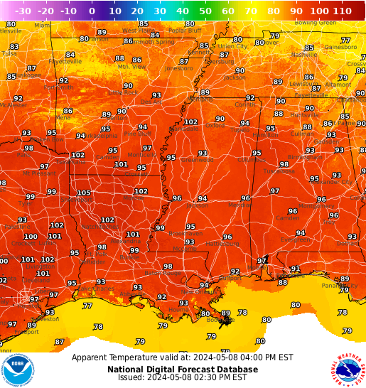
If you are done with this summer heat, I’m sorry to say that the heat is here to stick around. Looking at today, air temperatures are expected to climb into the mid to high 90s. These high temperatures does not include the humidity levels, which are expected to be around 50 to 70%. Combining the hot air temperatures and high humidity levels, the fell-like temperature could reach as high as 110 degrees Fehernight (43 degrees Celsius). The reason why temperatures have been this high is because of a ridge of high pressure in the Southwestern U.S. and the above-average ocean temperatures in the Gulf of Mexico and it looks like the heat will stick around through next week.
Fairly Dry Today
Like the last couple of days, I am expecting to see a slight chance of an afternoon thunderstorm or two. Diving into the details, the eastern areas of the forecast region have the best chance of seeing thunderstorms this afternoon. Areas from Gulfport, Mississippi, to Pensacola, Florida, have the highest chance of seeing rainfall. Looking into this weekend, the chances of rainfall is expected to increase. This is because of a cold front that will increase the chances of rainfall. After this weekend, expect a dryer period of weather due to the ridge of high pressure moving east, giving up hot and dryer weather.
Extended Outlook
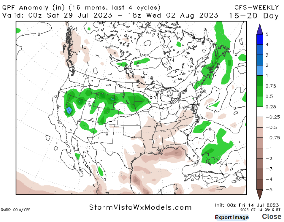
Looking at our extended outlook, there is one trend that I am seeing for the Gulf Coast, and that is hot and dry weather. Due to the ridge of high pressure moving east, temperatures are expected to rise, and precipitation chances are expected to drop. This trend is not good because areas of the Louisiana and Mississippi coastlines are experiencing moderate drought conditions, so these conditions are not going to help.
5 Day Outlook
Today: Partly cloudy skies with a 40% chance of thunderstorms. High 95. Winds southwest at 5 mph.
Tonight: Mostly clear with a 20% chance of a thunderstorm. Low 80. Winds southwest at 5 to 10 mph
Sunday: Mostly sunny with a 60% of thunderstorms. High 95. Winds west at 5 to 10 mph
Sunday Night: Partly cloudy with a 50% chance of thunderstorms before 10 PM. Low 80. Winds west at 5 to 10 mph becoming south.
Monday: Mostly sunny with a 50% chance of thunderstorms. High 95. Winds west at 5 to 10 mph.
Monday Night: Partly cloudy with a 30% chance of thunderstorms. Low 79. Winds southwest at 5 mph.
Tuesday: Sunny with a slight chance of Thunderstorms. High 96. Winds west at 5 to 10 mph, changing to the north.
Tuesday Night: Mostly clear, low 80. Winds south at 5 to 10 mph.
Wednesday: Sunny with a high of 95. Winds northeast at 5 to 10 mph.
Wednesday Night: Mostly clear, low 80. Winds south at 5 to 10 mph.


