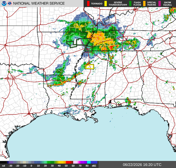
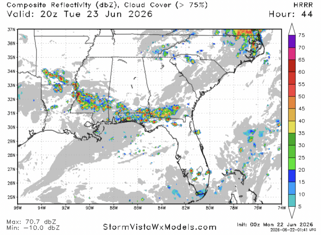
As I’m writing this at 11:45a CDT, our radar is moderately busy. The main thing to note here is an area of storms in northern Louisiana that are moving towards the southeast currently. These storms have partially crossed over into Mississippi at this time.
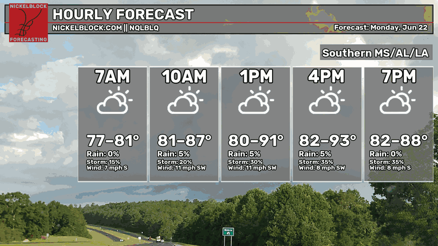
We’re in for another warm day today, with temperatures likely to be in the lower 90s in some spots this afternoon. Compared to my forecast yesterday, the line of storms moving south into Mississippi that some models were showing has subsided.
There are still some storms in Mississippi, but it looks like they will no longer move in from Tennessee and Arkansas. Because of this, temperatures are forecasted to rise a bit more in areas further away from the coast into the lower 80s as opposed to the mid 70s, which is what I forecasted yesterday.
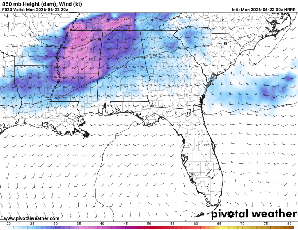
Yesterday, some models were showing a northerly wind in north-central Mississippi, hence storms were forecasted to move from north to south. Today, the models no longer show that as the high pressure situated off the coast of SW Florida extended further north than expected, helping maintain a southwesterly flow across our region.
Tomorrow
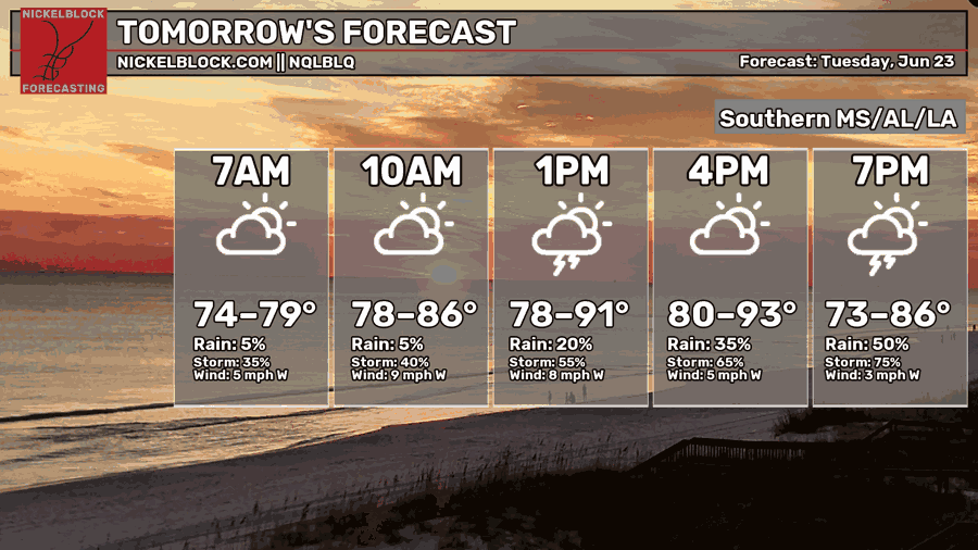
Moving into tomorrow, we’re expected to see temperatures in a similar range to today, low 80s to the low 90s.
Some scattered storms are expected to develop tomorrow afternoon and evening, particularly in the Jackson and Mobile/Tallahassee area. These storms will also be moving towards the southeast and will bring gusty winds, heavy rain, and lightning.


