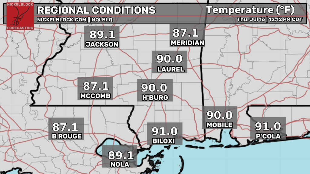

Good afternoon! As I’m writing this at 12:30p CDT, temperatures are already up into the lower 90s in some places. These temperatures will continue to rise today, eventually reaching the low-mid 90s by late this afternoon and early this evening.
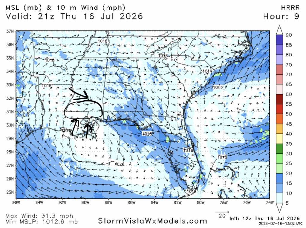
Some very minor pop up storms are possible where south moving air in the ridge will clash with north moving air caused by the sea breeze, which will cause the moist air coming off of the gulf to rise, leading to storms. Storms are most “likely” in the circled area above, between Baton Rouge, McComb, Hattiesburg, and Biloxi. However, storms will still be very sparse due to the dryness of the mid levels.
Temperatures look a bit cooler than what was forecasted yesterday, but other than that, not much has changed.
Tomorrow
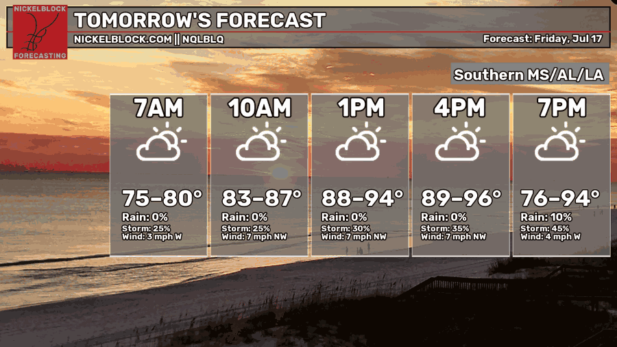
Tomorrow we turn up the heat, with afternoon highs ranging from the upper 80s to the mid 90s.
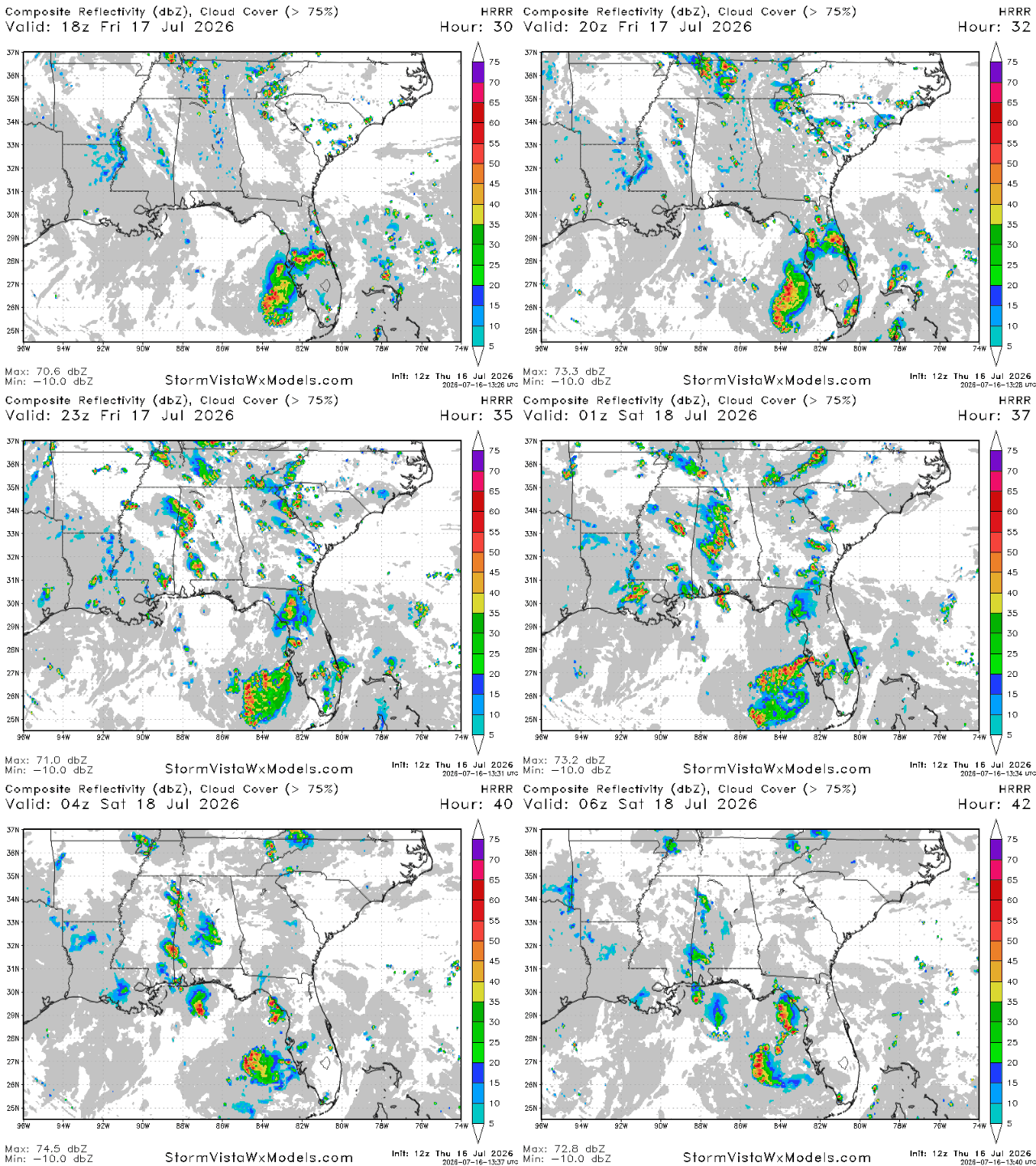
We are still expecting some storms tomorrow, mostly to the east in Alabama in the area between Huntsville and Montgomery. These storms will pop up at around 4pm and will be mostly gone by midnight. Similar to today, these storms will be minor. Most places will see rainfall totals well under a quarter of an inch, but places hit directly by a storm will receive more.


