For those who picked up some rain yesterday, hopefully it helped to cool things off. It looks like we will have another shot for showers and storms today. Generally speaking, there is about a 20-percent chance for storms. Then, as we head through the overnight hours, it looks like we will see a decaying line of storms try to sneak through between 11p and 4a.
The storms are going to be swinging around the southern edge of a ridge of high pressure that is still in control. Int he weather world, we call that the “dirty side” of the ridge because it is the side that allows for showers and storms to develop.
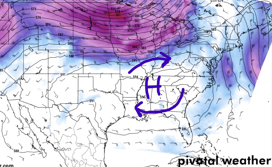
That means the heat will continue, too.
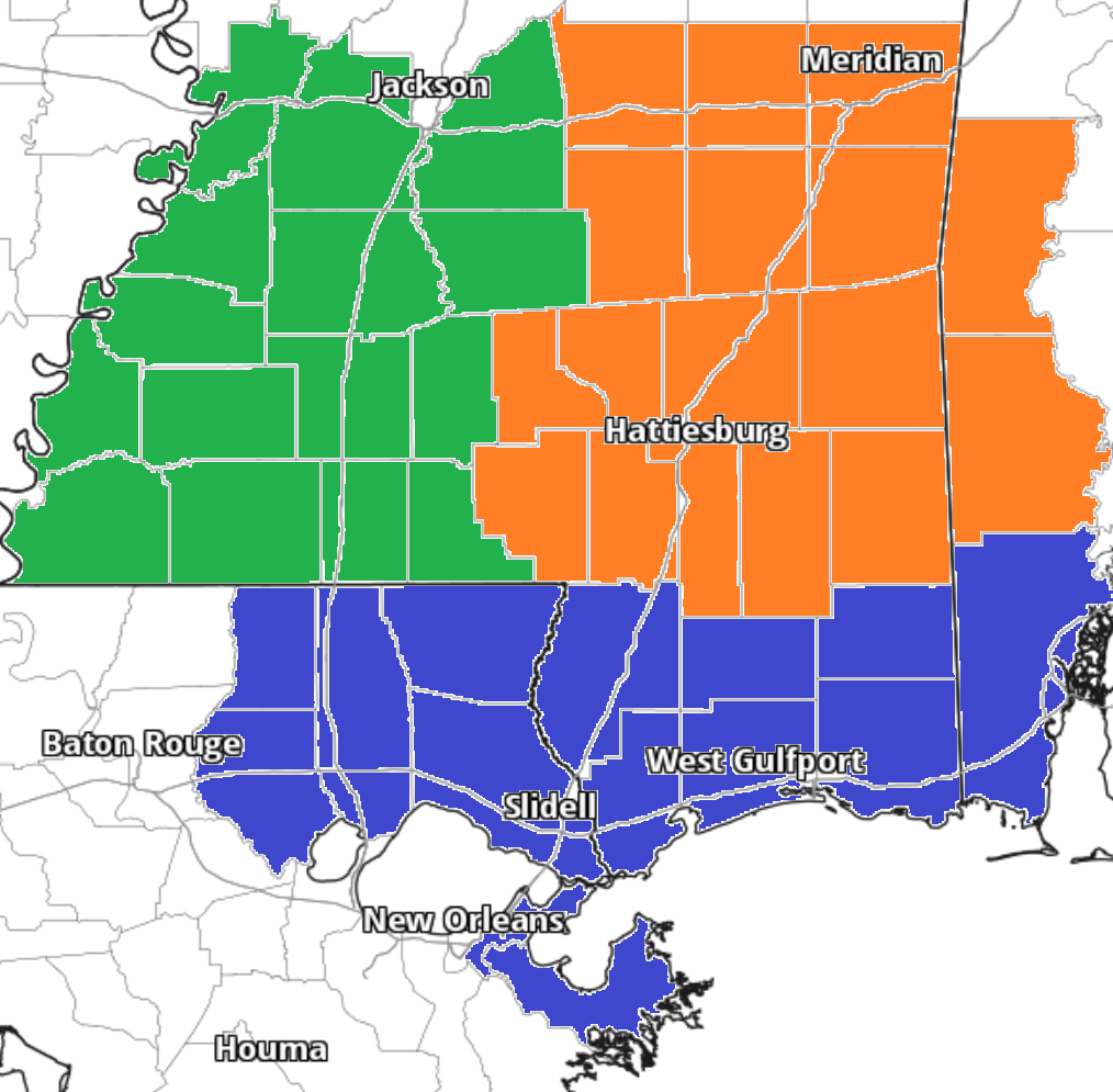
Zone Specific Forecast
Check out the forecast for your specific area! Our interns were up late last night and early this morning putting together a more localized forecast for you! Click the image that corresponds to your area for a more detailed look at the weather for your area.
Team Green on the left, Team Orange in the middle and Team Blue on the right!
Day to Day Forecast
No general day to day forecast today! But a specific day to day forecast for your area is available from the interns at the links above!


