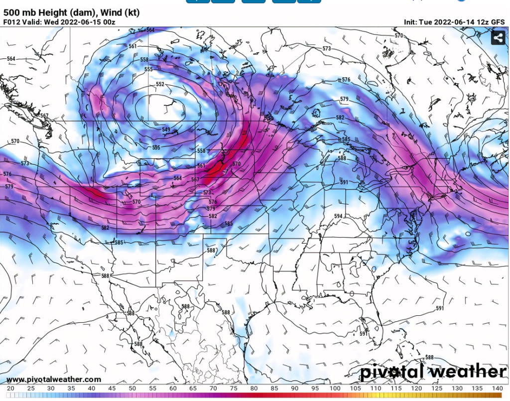
Hello everybody, they’re going to be clear skies in the morning with partly cloudy in the afternoon for today. The high-pressure system will still stay near southeast part of United States will bring mid 70s temperatures in the morning and upper 90s temperatures for the area of SE Mississippi and SW Alabama. There will be chance of rain coming this Thursday as the moisture is coming back from the east to your area.
The high-pressure system still staying in the southeast with no telling on when it going to leave soon. Stay hydrated and be indoors as long as possible as the high temperatures will be upper 90s throughout this week.
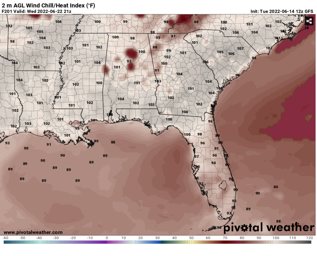
In the afternoon, the heat index temperatures will be climbing up to low 100s in the SE Mississippi and SW Alabama.
Day to Day forecast
Thursday
Mostly sunny in the morning with 40 % chance of showers and thunderstorms in the Afternoon and evening. With a high of upper 90s temperature.
Friday
Intervals of clouds and sunshine. A 20% of a stray shower or thunderstorm is possible. With a high in the upper 90s.
Saturday
Generally sunny despite a few afternoon clouds. With a high of upper 90s and low 100s.
Sunday
Sunny, with a high of mid to upper 90s temperature.
Monday
Mostly sunny with few clouds and a high of mid to upper 90s temperature.
Tuesday
Mostly sunny with few clouds and a high of mid to upper 90s temperature. With a 10% of showers and thunderstorms in the evening.
Wednesday
Mostly sunny with few clouds and with a high of upper 90s and low 100s temperature.


One thought on “Hot temperatures and clear skies conditions continue in the Southeast: SE MS / SW AL Weather Forecast – 6/15/22”
Comments are closed.