Overall, the traditional seasonal setup continues to hang around for us. A Bermuda Ridge will begin to move westward through the weekend into early next week. This will bring some benefit from the heavy rainfall, although the rain will not go away completely. By mid-next week, isolated heavy rainfall will start to return to the area as the ridge moves off of us back off to the east.
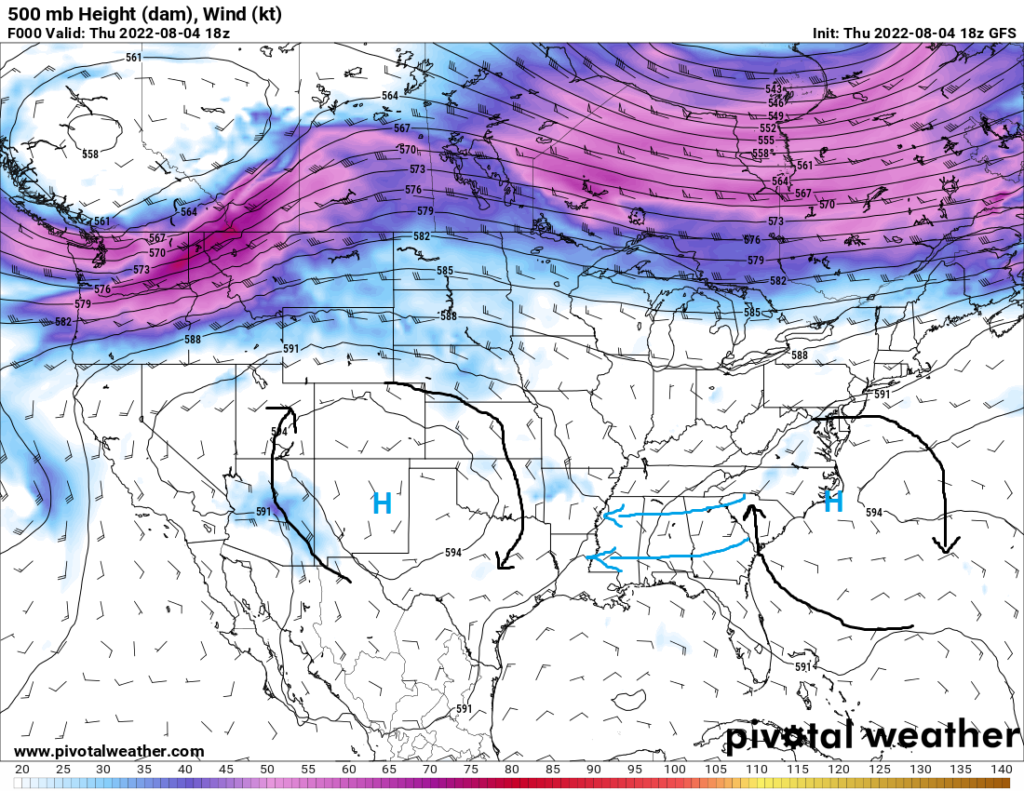
As mentioned, the Bermuda Ridge will begin to move closer over us through the weekend. This ridge will help to bring slightly drier air over the southeast, which will help to decrease the potential for heavy downpours and localized flood events as have been dealt with over the last few days. This slight relief will not last, as rich gulf moisture will come back in and increase the isolated flood threat by next week.
Temperatures will remain seasonal throughout the next 7 days, sticking to mostly the mid 80s to low 90s. Areas that do see these showers will see temperatures not reach the usual daytime high, instead only reaching the upper 70s to low 80s. Other than that, not much excitement for this part of the country. We will remain seasonal and enjoy summertime temperatures and scattered showers and thunderstorms.
Day to Day Forecast
Friday
Mostly sunny skies, with a chance of showers and thunderstorms. High temperatures in the mid to upper 80s. Low temperatures in the mid to upper 70s. Chance of rain 50%.
Saturday
Mostly sunny skies, with a chance of showers and thunderstorms. High temperatures in the upper 80s to low 90s. Low temperatures in the mid to upper 70s. Chance of rain 50%.
Sunday
Partly cloudy skies, with a chance of showers and thunderstorms. High temperatures in the mid 80s to low 90s. Low temperatures in the mid to upper 70s. Chance of rain 60%.
Monday
Partly cloudy skies, with a chance of showers and thunderstorms. High temperatures in the mid to upper 80s. Low temperatures in the mid to upper 70s. Chance of rain 60%.
Tuesday
Mostly sunny skies, with a chance of showers and thunderstorms. High temperatures in the mid to upper 80s. Low temperatures in the mid to upper 70s. Chance of rain 50%.
Wednesday
Partly cloudy skies, with a chance of showers and thunderstorms. High temperatures in the upper 80s to low 90s. Low temperatures in the mid to upper 70s. Chance of rain 50%.
Thursday
Partly cloudy skies, with a chance of showers and thunderstorms. High temperatures in the upper 80s to low 90s. Low temperatures in the mid to upper 70s. Chance of rain 50%.


