Hello everybody, the tropical disturbance in Gulf of Mexico is providing another round of thunderstorms and possibly of widespread rain to the Southwest Mississippi. In the morning, there will be partly cloudy skies with a low of mid 70s with a chance of isolated showers. The weather starting to ramp up as there will be a chance of thunderstorms or widespread rain in the afternoon and evening.
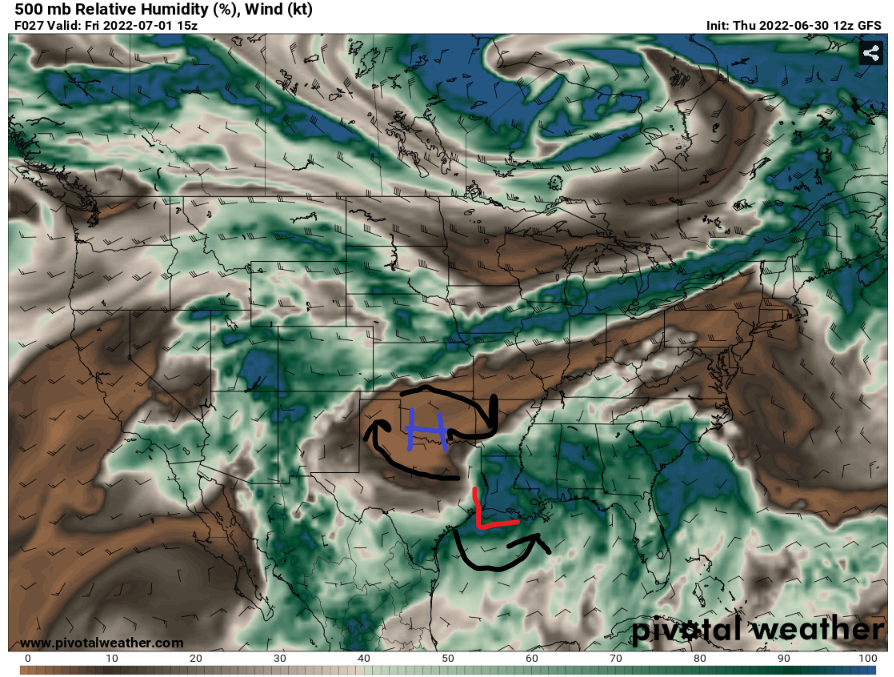
The High-pressure system will stay to the west, meanwhile the tropical disturbance low will stay in the Gulf of Mexico in the next few days. The humidity and moisture will increase in SW Mississippi. This will allow more fuel for any nearby thunderstorms for heavy rainfall and damaging winds in the afternoon and evening. There will be a stationary boundary that will provide a lift to form thunderstorms in the coastal states.
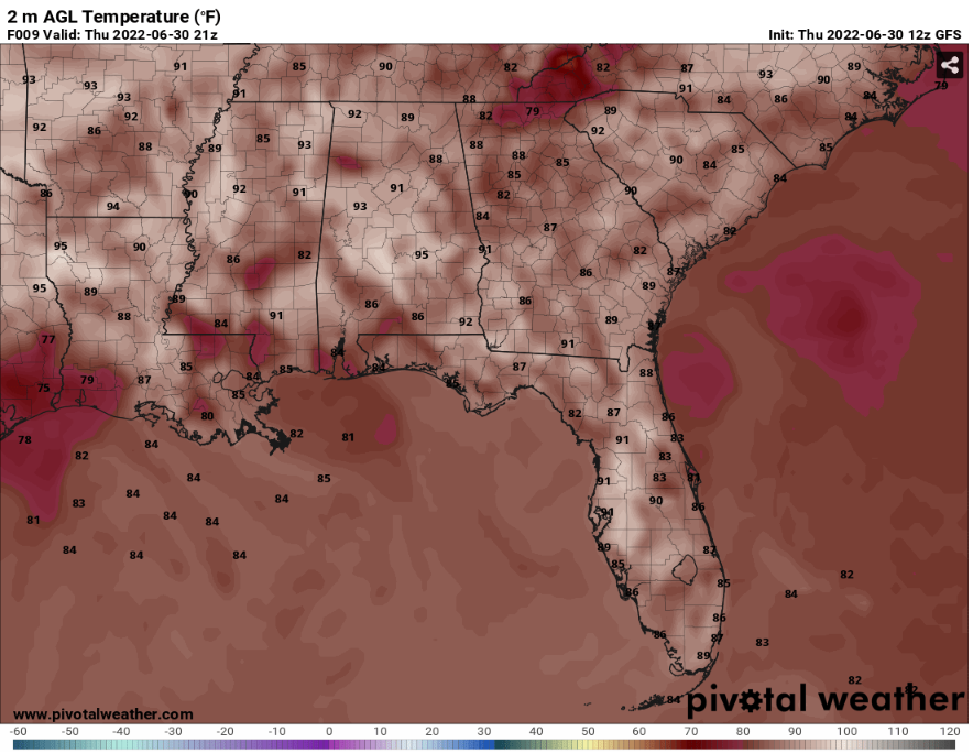
With the rain in the forecast, there will cooler temperatures and humid day. The high for SW Mississippi will be around mid 80s to upper 90s. Depending the amount of rain will be in that area will determine the temperatures will happen for today. Even though with slightly cooler temperatures and rainy day, the best time to be in outdoor will be in the morning.
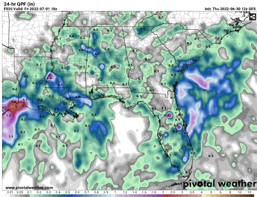
In the 24-hour rainfall estimation, in some places will get about 1″ to 2″ of rain in SW Mississippi. Be aware of any flooding that might happen in your area. As the tropical disturbance will send multiple rounds of rain in the next few days. Also, the ground will start becoming saturated that it can no longer hold.
Day to Day Forecast
Friday
Mostly cloudy, with the temperatures high in the mid 80s. The heat index values will go up to mid 90s. There will be 60% chance of showers and thunderstorms
Saturday
Mostly cloudy, with the temperatures high in the upper 80s. The heat index values will go up to low 90s. There will be 50% chance of showers and scattered thunderstorms.
Sunday
Partly cloudy, with temperatures high in the upper 80s. The heat index values will go up to mid 90s. There will be a 40% chance of showers and scattered thunderstorms.
Monday
Mostly sunny with some clouds, the temperatures high in the upper 80s to low 90s. The heat index values will go up to mid 90s. There will be a 30% chance of isolated showers and thunderstorms.
Tuesday
Mostly sunny, the temperatures high in the upper 80s to low 90s. The heat index values will go up to upper 90s. There will be a 30% chance of isolated showers and thunderstorms.
Wednesday
Partly cloudy, the temperatures high in the low 90s. The heat index values will go up to upper 90s. There will be a 30% chance of showers and scattered thunderstorms.
Thursday
Partly cloudy, the temperatures high in the low 90s. The heat index values will go up to low 100s. There will be a 30% chance of isolated showers and thunderstorms.


