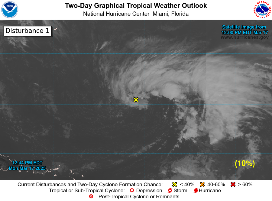
Happy Wednesday, everyone; I hope your week is going great. We have quite an active pattern in the Atlantic for June. Currently, there are two storms that I am moderating in the Atlantic Basin. The first storm is Tropical Storm Bret, located in the Western Atlantic. The current winds are sustained at 50 mph (80 kph) and is moving west at 18 mph (15 knots). The other storm I am keeping an eye on is an area of disturbance located just to the east of Tropical Storm Bret. As for the Pacific, there is currently no major tropical activity to talk about.
The Atlantic Basin:

For late June, the Atlantic Basin is quite busy, with one named storm moving west and another area of disturbance right behind it. The first storm that I will be talking about is Tropical Storm Bret, which is our second named storm of the 2023 Atlantic hurricane season. As of 11 PM Atlantic time, Tropical Storm Bret is currently located at latitude 12.5 N, longitude 50.2 West, and is moving west at 18mph (15 knots). The winds at the center are sustained at 50 mph (80 kph), and the minimum central pressure observed is 1003 MB (29.8 inHg). The current forecast has this storm moving in a westerly direction toward the Lesser Antilles, with impacts expected around 8 PM Thursday the 22nd. Current forecasts show that this storm should not reach hurricane strength, and there are a few reasons why, which I will get into later. After making landfall on the Lesser Antilles, current predictions put this storm in the Southern Caribbean Sea, although there is a lot of uncertainty with this storm at the moment.
Storm Strength and Potential Impacts

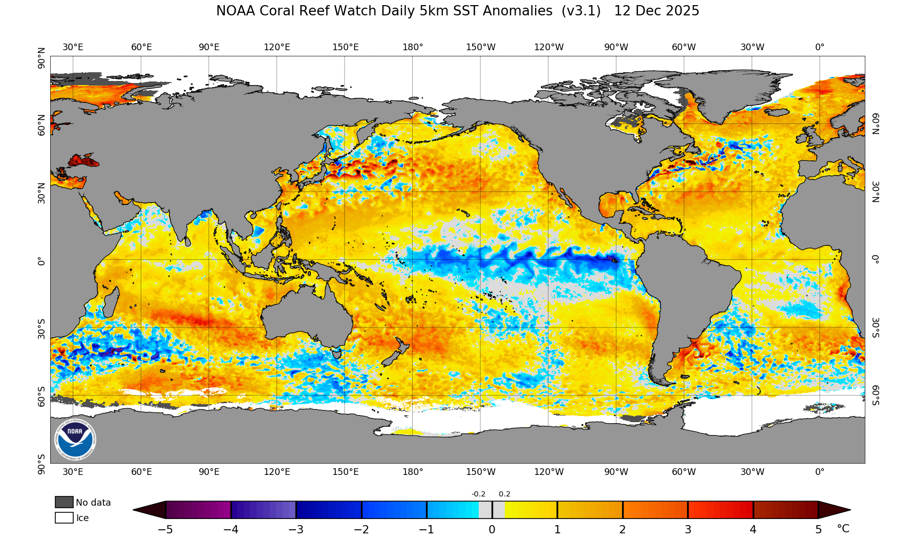
One may be asking why this storm is not as strong as other hurricanes; well, there are a couple of reasons. The primary reason why this storm is weak is because of cooler waters this time of year and a high pressure system situated above the storm. The water temperature is cooler in June because water takes longer to heat than air, which is contributing to the weaker storm.
A high pressure is located above Bret and is preventing the system from gaining strength. Even though Bret is only a tropical storm, impacts are still expected. The primary impact from this storm will be heavy rainfall with 5 to 10 inches (12 to 25 cm) of rain expected for the Lesser Antilles. Impacts to other Caribbean island is still unknown because of the uncertain track, but people in the area should keep a close eye on this system. Remember, even a weak tropical storm can produce heavy rain, flooding, wind damage, and storm surge.
Another Storm In development


Just on the heals of Tropical Storm Bret, another storm could develop. As of 11 PM Atlantic Time, the National Hurricane Center is showing a area of disturbance southwest of the Cabo Verde Islands. This area of disturbance is mostly unorganized showers and thunderstorms, however environmental conditions appear to be ripe for this system to further develop. Current forecast are showing that there is a 70% chance of a Tropical storm developing in the next 48 hours and a 80% chance of formation in the next 7 days. Current forecasts have this storm taking a northerly track, away from land, though this could change as this system continues to organize. Please remember to keep an eye on these two storms and to stay up to date.
The Pacific Basin
Unlike the Atlantic, the Pacific Basin is showing much less activity. A center of low pressure is forcast to move off the coast of Mexico, which could form into a tropical wave. There is a 30% chance of formation in the next week, Even though the chances of development are low, please remember to keep an eye and stay up to date on all hurricane activity. Looking at the central Pacific, no tropical storm development is expected in the next 7 days. The water temperatures and lack of instability are the main two reason why there is little activity in the Central Pacific.
Extended Outlook

We have had a very active start to the hurricane season in the Atlantic Basin with two named storms and a third named storm luckley in the next 7 days. Even though there has been little activity in the Pacific, El Nino conditions have formed off the coast of South America. El Nino conditions means that sea surface temperatures in the Pacific are warmer than average, which could lead to a more active hurricane season in the Pacific but only time will tell. As of June 20th, 2023, all the hurricane action has been in and remains in the Atlantic for the next week.
Conclusions
Looking at the models, the Mainland United States is unlikely to be impacted by any tropical system in the next week. The Lesser Antilles are expected to fell the brunt of Tropical Storm Bret, with tropical storm conditions expected by Thursday the 22nd. Since this storm’s forecast is still very uncertain, other islands in the Caribbean may or may not see impacts from this storm. The Pacific Basin is unlikely to see tropical development in the next few day. Please remember to check the daily hurricane outlook for the latest in hurricane news and development.

