Hi, everyone; I hope your week is going great. Looking at the tropics, it is much quieter than weeks past, with no named storms in the Atlantic or Pacific as of this report. This is quite unusual because of the above-average tropical activity seen so far this year. Looking at the tropics, there is little activity in both oceans. There is no current tropical activity in the Pacific Ocean, with no development in the next 48 hours. There is no named storms in the Atlantic Ocean, and little chance of development in the next 48 hours.
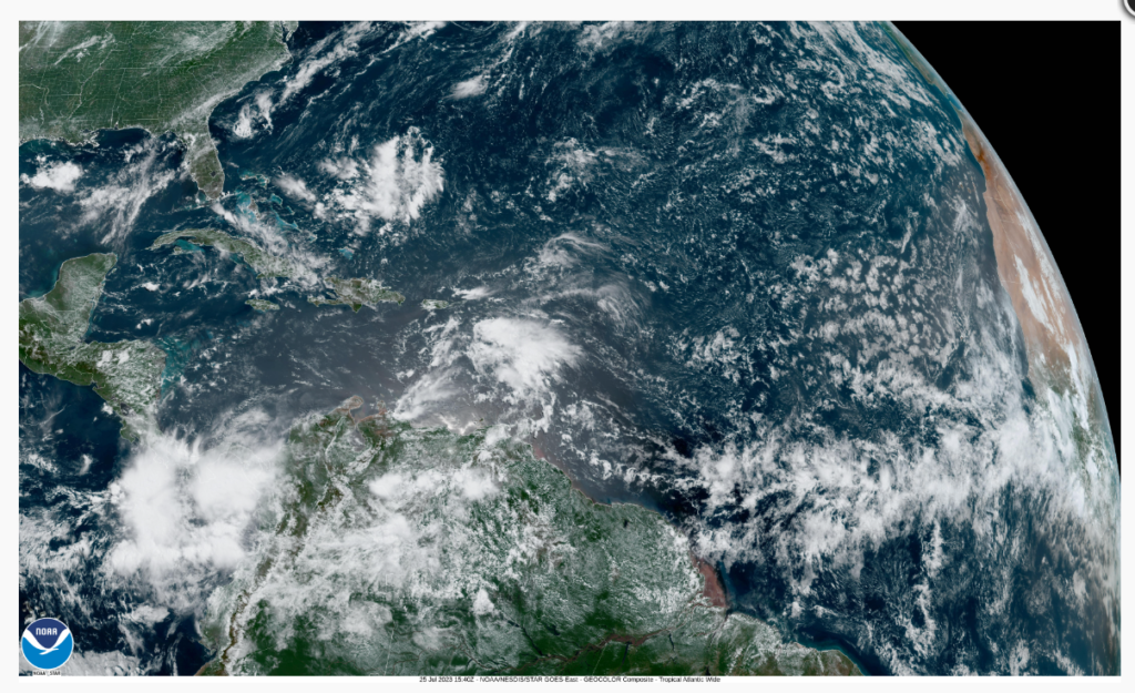
Atlantic Basin

Looking at the Atlantic Basin, little activity is expected in the next 48 hours. There are two areas with a slight chance of development. The first is an area of disorganized showers near the Lesser Antilles. Any chance of development will be slow as the system moves westwards. This system is unlucky to develop due to unfavorable upper-level winds. Whether this storm developed or not, the Lesser Antilles can expect heavy rains and high winds. The second system could develop in the next few days and move northwest towards the Southeast United States. Both systems are unlucky to develop in the next 48 hours due to wind shear and dry air aloft.

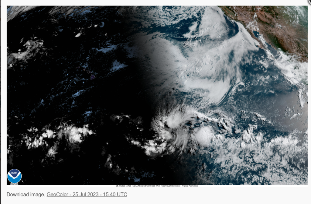
Pacific Basin

Looking at the Pacific Ocean, there is no current activity. A combination of dry air aloft, cooler waters, and wind shear aloft is preventing tropical development. Even though no tropical systems are forecasted, always remember to keep a close eye on tropical weather forecasts.
Extended Outlook


Looking at the extended outlook, high wind shear and dry air in the Central Pacific will prevent tropical cyclone development in the short term. Looking at the long term, warmer waters and a higher chance of low-pressure developments off the coast of Mexico will help increase tropical activity.


It’s a similar story in the Atlantic, with dry air and wind, shear aloft. This implication will reduce the chances of tropical development in the next few days. Due to the warmer-than-average sea surface temperatures, the long-term outlook is forecasting an above-average hurricane season.
Conclusion
If you are located in the Southeast United States or Hawaii, you shouldn’t be too worried about hurricanes for the next few days. Looking at the long-term, above-average water temperatures will increase the chances of seeing more storms this season. We must keep an eye on wind shear and water vapor charts.


