
New developments within the Atlantic and Pacific has been relatively sparse the past few days as Tropical Depression Don and Tropical Storm Calvin continue to dwell out in the middle of the respective basins. Further outlooks for the coming week is also looking pretty bleak for the time being. Let’s take a more in-depth look at what is going on.
Tropical Depression Don
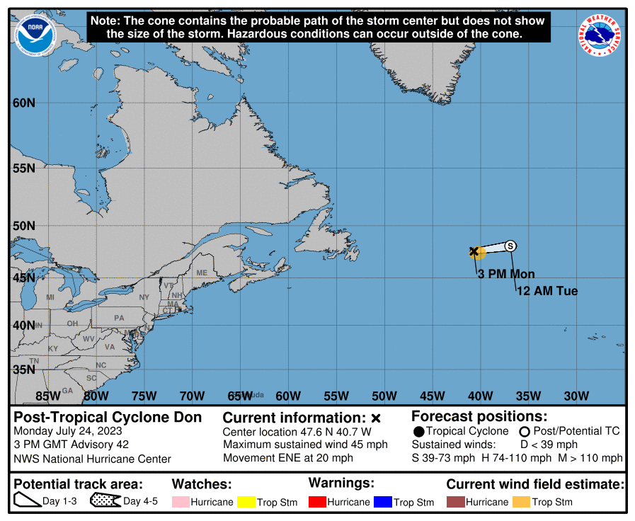
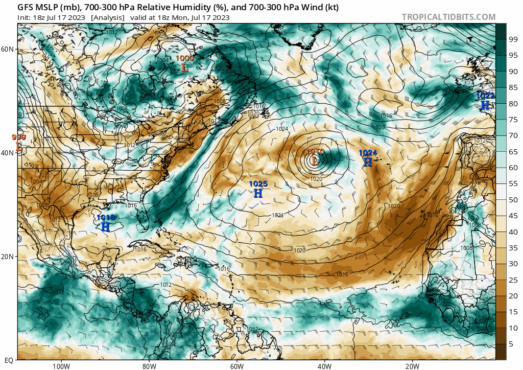
Tropical Depression Don is expected to make an interesting twist in direction over the next week as it continues to develop into a Tropical Storm. While Don is currently sitting about 1000 miles east of the Azores Islands, this storm will drift south southwest for the next coming days before pulling sharply west and eventually northwest by the start of the weekend. This possibly strange looking motion is actually quite simply due to the blocking ridge just north of the system.

As TS Don makes this path, it will maintain its strength as a tropical storm but very likely will not strengthen past this due the significant amount of surrounding dry air wrapping around the storm for most of its journey. This storm will pass by Newfoundland but shouldn’t pose any threat. There is very strong model agreement that this system will not directly hit Canada and instead will likely dissipate as it curves back west.
Tropical Storm Calvin

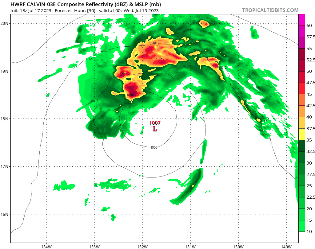
Tropical Storm Calvin will be making its way towards Hawaii today that will causing possible flooding and strong gale force winds around the islands. By Wednesday afternoon, Calvin should be reaching the main island of Hawaii where heavy rain will linger for the day with winds up to 50+ mph and strong gusts that can cause significant damage to the island. Luckily, TS Calvin will dissipate very quickly once reaching Hawaii as the mountainous terrain will disrupt further convection.
Small Pacific Disturbance

Shifting our focus away from the tropical storms, we do have one small disturbance in the Eastern Pacific off the Southern coast of Mexico. The National Hurricane Center currently has 10% chance of formation over the next week for this disturbance. Shear has been relatively low the past couple days but will ramp up in the next couple days which will really limit any major developing storms or hurricanes from this disturbance.

Conclusions
At this point, TS Don will be the storm to look out for the next coming week though it will likely not be much of a threat to anywhere on land. Once TS Calvin reaches Hawaii, it will quickly dissipate from hitting the mountainous land while still bringing plenty of rain to the area. The Eastern Pacific is the only region to look out for over the next week for possible development while the Gulf and rest of the Atlantic remains calm.


