I think the difference between the “Haves” and “Have nots” tonight will be pretty sharp when it comes to severe weather. Based on the latest available data, I tend to think the bulk of the concern for the strongest storms will be closer to the coast.

While, yes, severe weather will be possible along the entire line of storms… the best bet for severe weather will be farther south.
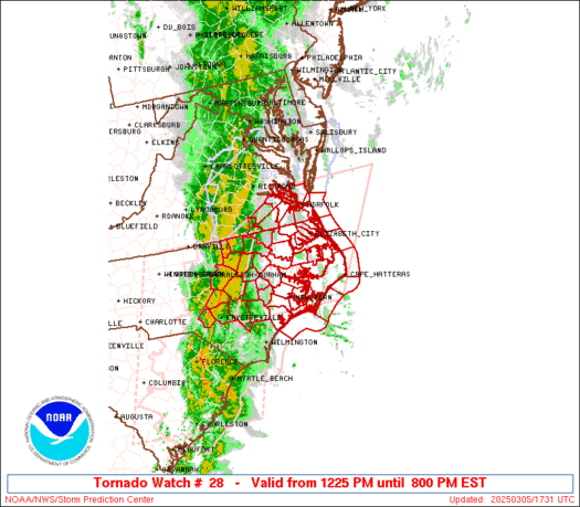
The current Tornado Watch is in effect until 1am for the parishes of Louisiana.
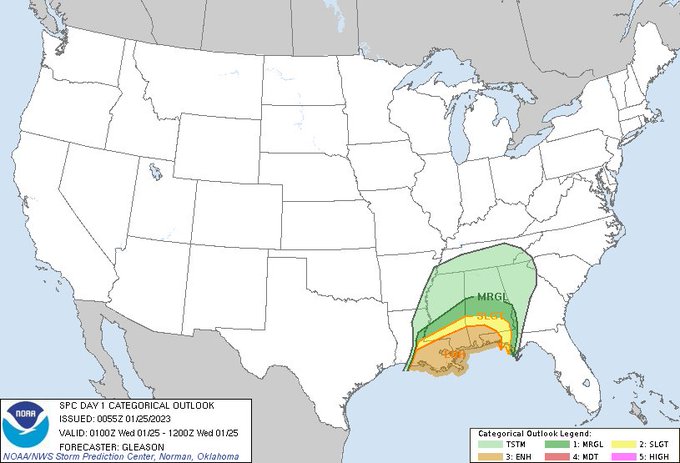
As of this writing there is a line of storms moving across Louisiana. the line includes a few severe-warned and tornado-warned storms. Because of this, the Storm Prediction Center is maintaining the Enhanced Risk for severe weather.
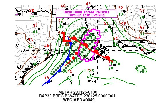
The Weather Prediction center is starting to become more concerned about the potential for flash flooding in the area during the next three to six hours.
As these storms shift to the east, the SPC will likely extend the Tornado Watch across parts of Mississippi and into Alabama. And local National Weather Service offices may consider issuing Flash Flood Warnings if the pattern of rainfall rates and storm motion necessitates.
Please continue to check the NickelBlock Forecasting app for updates from the NWS, to track storms on radar, and to look at the computer estimate for the radar for the next 24 hours.
Don’t have the app? Download it!

….. On your phone?
TAP HERE TO DOWNLOAD THE NICKELBLOCK FORECASTING APP FOR ANDROID
OR
TAP HERE TO DOWNLOAD THE NICKELBLOCK FORECASTING APP FOR APPLE


Thank you for your hard work on your app. It’s first class!