We’ll have a fairly active week coming up with a few chances of rain over the next several days. The good news is that we’ll have a cooler weekend! Albeit with a little bit of rain coming in right after.
The main story for the next week is a series of surface lows moving from the Rockies to the Great Lakes. The first part of the week won’t have a huge effect on us, but due to the Gulf stream’s location, we’ll have some pop-up showers and thunderstorms possible. Look out for this come Monday and Tuesday especially in the afternoon. Temperatures will reach the upper 80s with lows in the upper 60s.
Starting Wednesday, we’ll see a shift in the upper levels. The Atlantic ridge will begin to move out and we’ll see a trough develop out west and a high pressure system developing from the plains. This will shift us to into a more east-west pattern causing a change in temperatures along with the orientation of the next couple of systems later in the week. Temperatures will reach the low 90s and drop into the 70s at night.

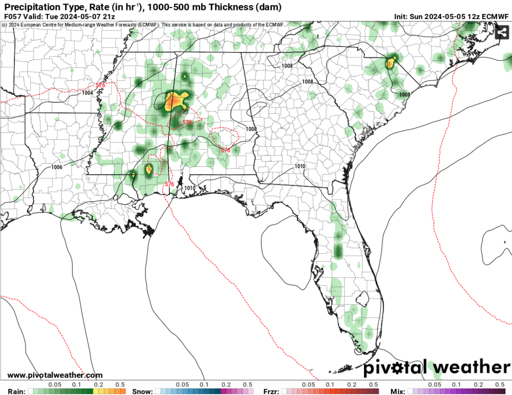
Our first main system develops from the Rockies and moves further towards the Atlantic before it squeezes out some rain from the new orientation. This system will move further south towards Mississippi and Alabama. The worst of it looks to hit around Tennessee to north MS/AL and dissipate as it reaches central/southern Mississippi by Thursday. Some heavy rain and lightning may be possible overnight.

We’ll get a brief period of cooler weather Friday and Saturday with temperatures in the low 80s during the day as the cold front passes through. One more shot of rain from a developed low pressure system around the Gulf moves east overnight Sunday into Monday. The good news is after this, we’ll be in a cooler, drier patter for a little while.
[wpcode id=”41179″]
Regional Day-to-Day Forecast
Tonight – A 20 percent chance of showers and thunderstorms this evening. Mostly cloudy, with a low in the mid 60s. South wind around 5 mph.
Monday – A 30 percent chance of showers and thunderstorms before sunset. Patchy fog in the morning. Otherwise, partly sunny, with a high in the upper 80s. Light south southeast wind becoming south 5 to 10 mph in the morning. Winds could gust as high as 20 mph.
Monday Night – A 30 percent chance of showers and thunderstorms before sunset. Mostly cloudy, with a low in the upper 60s. South wind 5 to 10 mph.
Tuesday – A 30 percent chance of showers and thunderstorms after noon. Partly sunny, with a high in the upper 80s. South wind 5 to 15 mph, with gusts as high as 20 mph.
Tuesday Night – Mostly cloudy, with a low in the low 70s. South wind 5 to 10 mph.
Wednesday – Mostly sunny, with a high in the low 90s. South wind 5 to 15 mph, with gusts as high as 25 mph.
Wednesday Night – Partly cloudy, with a low in the low 70s. South wind around 10 mph, with gusts as high as 25 mph.
Thursday – A 40 percent chance of showers and thunderstorms after noon. Partly sunny, with a high in the low 90s. South wind 5 to 10 mph, with gusts as high as 20 mph.
Thursday Night – A 50 percent chance of showers and thunderstorms. Mostly cloudy, with a low in the upper 60s.
Friday – A 20 percent chance of showers and thunderstorms. Mostly sunny, with a high in the low 80s.
Friday Night – Partly cloudy, with a low in the upper 50s.
Saturday – Mostly sunny, with a high in the upper 70s.
[wpcode id=”41149″]


