With the extended dry spell that we’ve had this past week or so, we’ll be moving towards a slightly wetter pattern for the next several days. As mentioned yesterday, with the Canadian ridge putting us between two troughs, we’ll be stuck with scattered rain chances until the weekend.
Tropical Depression Arlene has dissipated and will soon move into the Atlantic. The New England low pressure zone is beginning to strengthen, however with the block forming in Canada, the low has nowhere to go and will begin to absorb the depression and form another low near the mid-Atlantic. With it, a high pressure will form near Florida and bring in more moisture to increase rain chances from Monday to Thursday. Temperatures will reach the low to mid-90s and the humidity will be up further due to the southerly influence.

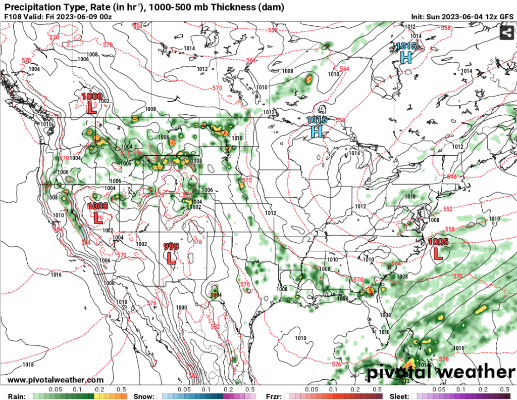
As the ridge begins to break down, the New England low will gain some traction and allow the low further South to gain some dynamic forcing. With this, Thursday will have a higher chance of rain as the front moves just past into the Atlantic. The front will subside a bit of the moisture for Friday and Saturday before another front begins to push it out and bring in rain chances again. For the early part of the weekend, temperatures will be in the upper 80s to low 90s.
[wpcode id=”41179″]
Regional Day-to-Day Forecast
This Afternoon – Mostly sunny, with a high near 93. Northeast wind around 5 mph.
Tonight – Patchy fog after 4am. Otherwise, partly cloudy, with a low in the mid 60s. East wind around 5 mph becoming calm in the evening.
Monday – Showers and thunderstorms likely, mainly after 4pm. Patchy fog before 7am. Otherwise, mostly sunny, with a high near 91. Calm wind becoming east southeast around 5 mph in the afternoon. Chance of precipitation is 60%. New rainfall amounts between a tenth and quarter of an inch, except higher amounts possible in thunderstorms.
Monday Night – Showers and thunderstorms likely, mainly before 7pm. Mostly cloudy, with a low around 66. South wind around 5 mph becoming calm. Chance of precipitation is 60%. New rainfall amounts of less than a tenth of an inch, except higher amounts possible in thunderstorms.
Tuesday – A 50 percent chance of showers and thunderstorms after 1pm. Mostly sunny, with a high near 90. Calm wind becoming south southwest around 5 mph in the afternoon. New rainfall amounts of less than a tenth of an inch, except higher amounts possible in thunderstorms.
Tuesday Night – Partly cloudy, with a low around 66. Calm wind.
Wednesday – A 40 percent chance of showers and thunderstorms after 1pm. Mostly sunny, with a high near 90. Calm wind becoming west northwest around 5 mph in the morning.
Wednesday Night – A 20 percent chance of showers and thunderstorms before 1am. Partly cloudy, with a low around 67. Southwest wind around 5 mph becoming calm.
Thursday – A 50 percent chance of showers and thunderstorms after 1pm. Mostly sunny, with a high near 91. Calm wind becoming west around 5 mph in the afternoon.
Thursday Night – A 20 percent chance of showers and thunderstorms before 1am. Partly cloudy, with a low around 66.
Friday – A 30 percent chance of showers and thunderstorms. Sunny, with a high near 88.
Friday Night – Mostly clear, with a low around 63.
Saturday – A 20 percent chance of showers and thunderstorms. Sunny, with a high near 90.
[wpcode id=”41149″]


