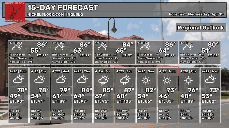
We’re still stuck in a warm pattern this week as the high pressure dome wags its tail from the Atlantic Ocean. Temperatures will reach near record highs going into this weekend as winds slow down and more moisture flow moves in. The good news is that we’ll get a bit of a reset by Sunday and temperatures will finally cool down a bit!

Today
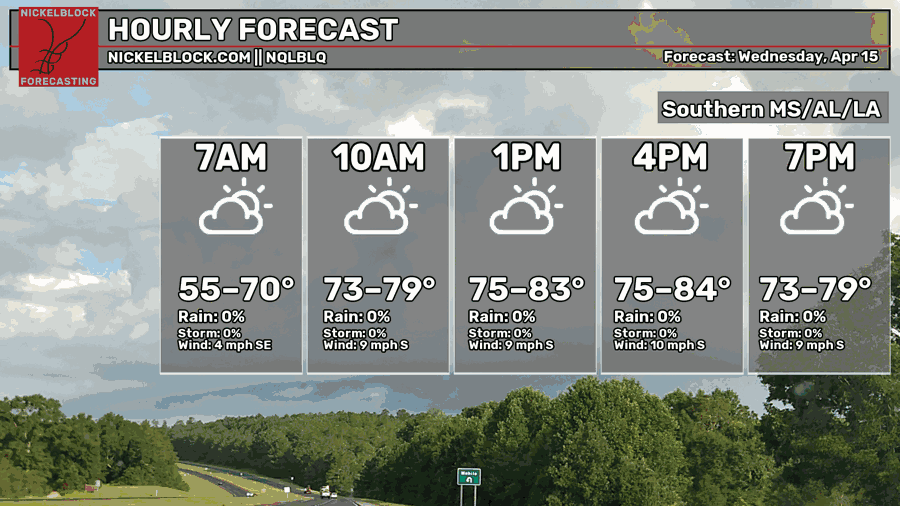
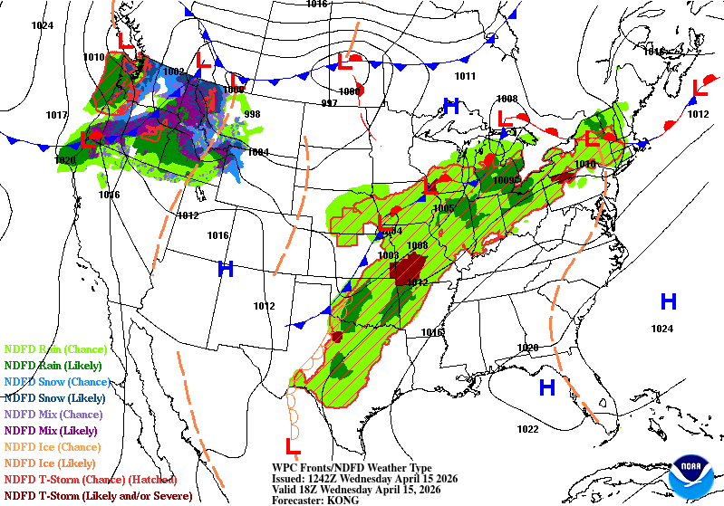
Looking at the incoming front towards the eastern Plains, you’d think that would be heading our way, but nope! That high in the Atlantic still holds strong and will keep any of the rain from moving our way. It’s going to be partly cloudy today with temperatures in the mid 80s and winds out of the south around 5-10mph. Overnight, we’ll fall into the low to mid 60s with mostly clear skies.

Tomorrow
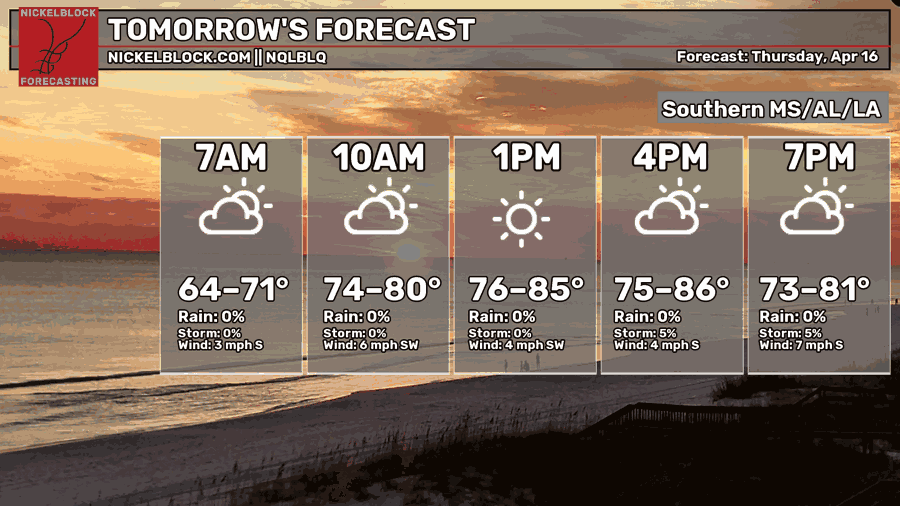
It’ll be a similar day tomorrow, but temperatures will climb a bit to the mid-upper 80s. Winds will calm down a bit and pull out of the southwest. Overnight, we’ll reach the mid 60s with partly cloudy skies.
Friday
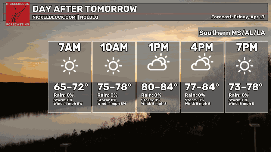
We can expect temperatures to get pretty warm Friday as there’s a chance to reach our record high. While it won’t be the top, we may tie our top 5 record which is 89 degrees. Be careful out there if you’re working outdoors! Temperatures will reach the mid 60s again overnight.
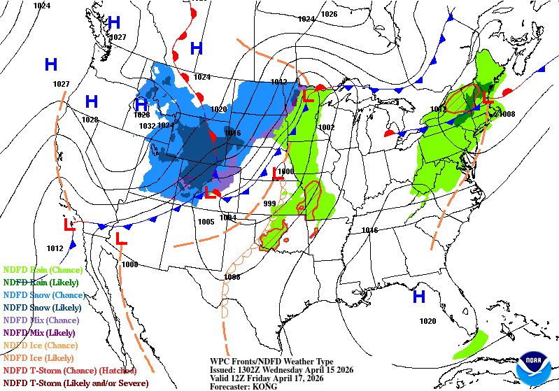
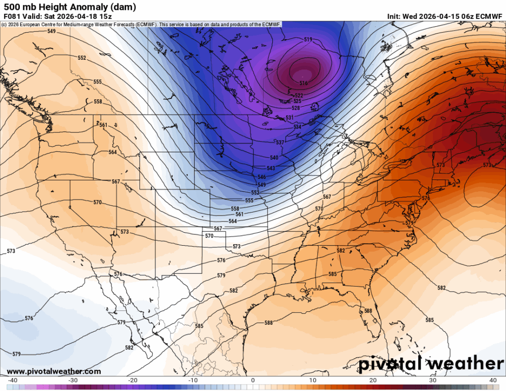
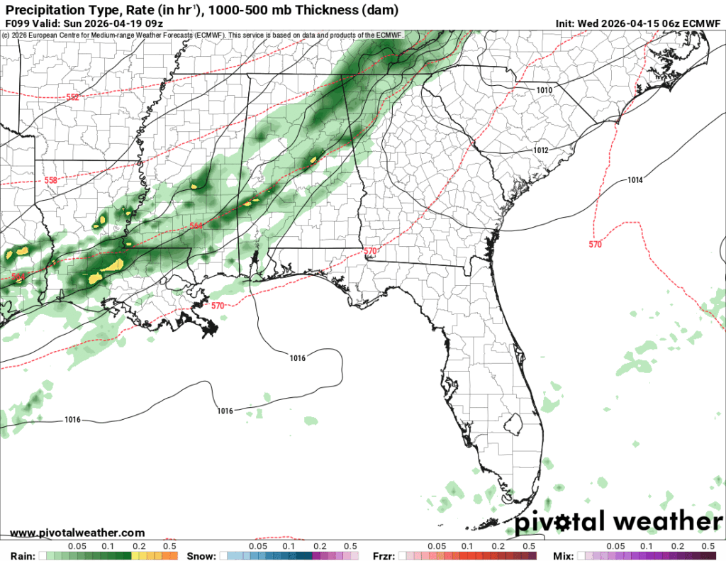
Looking at the front map, we can see the front from Wednesday peters out as it moves further east. Behind it is another low pressure system that will churn up more moisture and rain chances towards the weekend. Below, you can see a large trough (left) disrupting the ridge in the Atlantic. This is good news for us as temperatures will fall back towards our seasonal average.
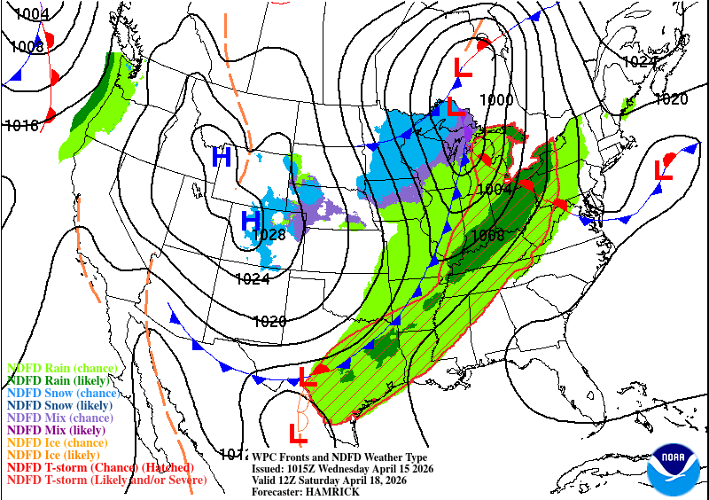
This weekend will be warm again with temperatures in the upper 80s on Saturday. Towards the evening hours, the rain will move in from the northwest and continue on into the early morning hours. The low pressure system will be thinning out which means we won’t receive a lot of rain (around 1/2-1″). If you’re headed to church in the morning, expect conditions to be a bit soggy since the rain will hang around until the mid-morning hours. The good news is that we won’t have to contend with any severe weather!
Afterwards, we’ll have some high level clouds on Sunday with a high in the mid 70s. North winds will pull around 10-15mph, so it’ll feel quite cooler compared to the past few days. Overnight, the temperatures will fall into the upper 40s.