Another day and another chance for widespread showers and thunderstorms.
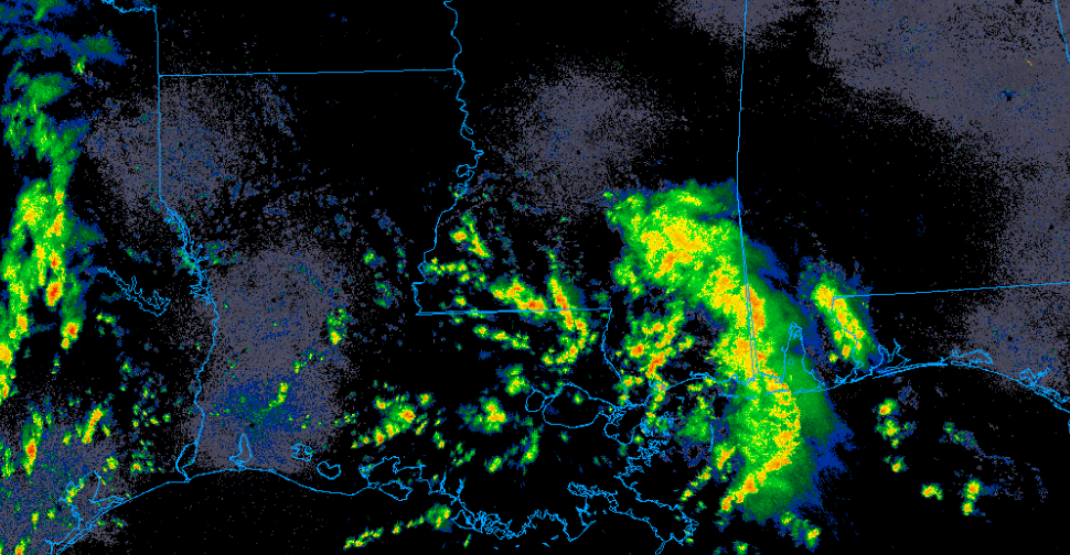
Radar imagery shows numerous showers and thunderstorms developing along the gulf and moving north. These storms will the potential to produce very heavy rain, frequent lightning, and maybe some isolated strong downburst winds.
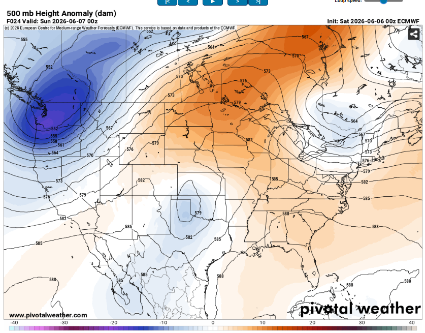
The reason these storms will be so disorganized (and non severe) is due to the lack of wind shear. The jet stream will reside far to the north leaving our area under ridging. That will cause these storms to be of the pulse variety. Storms should weaken and die off by mid evening.
Skies will be mostly cloudy with highs in the low 80s.

Tomorrow will be rinse and repeat. Another wave of widespread showers and storms will slowly drift north due to the weak southerly flow. These storms will have similar hazards to the ones today.
The main risk will be flooding, however. Due to the saturated soils, high precipitable water values, and the slowing moving nature of the storms (along with potential training or back building) runoff will have few places to drain. Be mindful of areas that frequently flood or low water crossings. Make sure to turn around and don’t drown!
Temperatures will peak in the mid 80s with very high humidity. Not everyone will get rain but it will definitely be in the area.


