It is now officially summer! So Mother Nature decided to make it feel like it with scattered storms and high humidity.
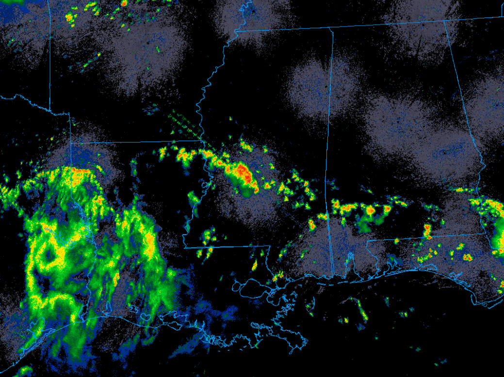
Radar shows a broad area of showers along the Texas-Louisiana border along with an area of more intense convection stretching northwest to southeast across Mississippi. Some pulse storms also appear to be developing in the space between these two areas.
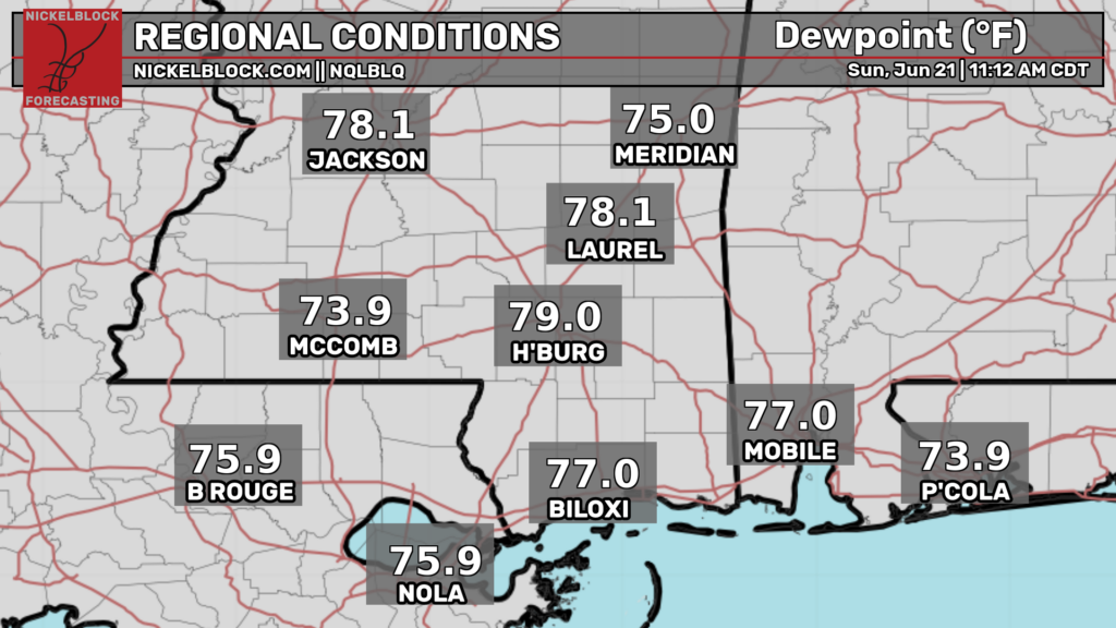
Surface dew points are seasonably high across the region leading to a distinct mugginess and gross humidity.
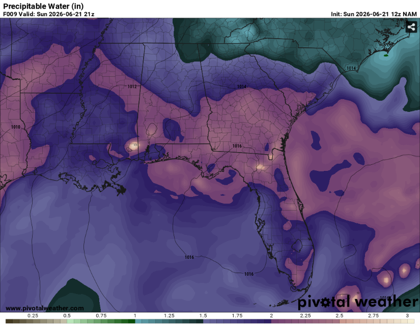
Precipitable water values (the amount of moisture in a column of the atmosphere) are near and above two inches. This will allow these storms to be efficient rain producers.
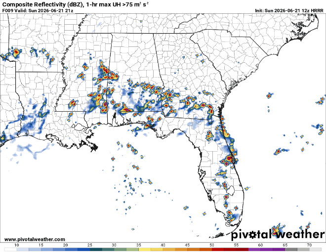
Storms should die off around sunset with the loss of daytime heating leaving a steamy but calm night. There is potential for a more organized cluster of thunderstorms during the day tomorrow but it will likely like weakening as it drops south. Temperatures will be fairly normal for this time of year with highs on either side of 90 depending on where the cloud cover is.
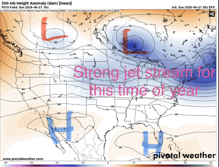
Although the storms may be capable for very heavy rain, frequent lightning, and maybe some strong downdrafts as they collapse, little in the way of severe weather is expected. Tomorrow, the risk for damaging winds is slightly higher as the jet stream and associated frontal boundary sink south. This has prompted a level one out of five marginal risk from the Storm Prediction Center.
One other hazard to note. There are several flood warnings out for various rivers across the region due to all the recent rain. These may rise even further in the coming weeks as a wet pattern looks to remain in place.


