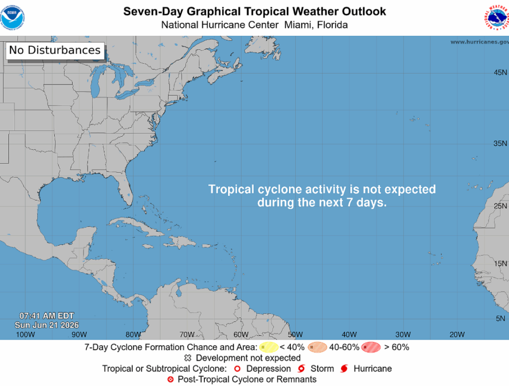
Arthur is gone, and the National Hurricane Center is not anticipating any tropical cyclone activity for us over the next week…yay!
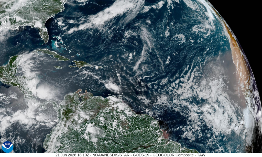
Looking at the satellite imagery below, a plume of dust from the Saharan Desert is visible. The dust itself and the dry air that tags along with it are preventing disturbances from becoming more intense.
Also, El Niño conditions developed over the past month, as shown by above-average sea surface temperatures across the central to eastern equatorial Pacific Ocean (line of red shown below). El Niño lessens hurricane conditions in the Atlantic due to hostile upper-level winds, while increasing hurricane activity in the eastern and central Pacific basins due to warmer water, and as expected, there is a low-end chance of development in the Pacific during the next seven days. That’s a Pacific concern and is not expected to have any impacts on us. For now, enjoy the quiet Atlantic, because hurricane season still has a long way to go.


