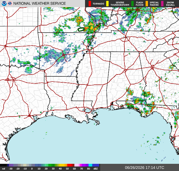
Our radar isn’t look too busy right now, with places west of Tallahassee seeing little to no precipitation. There is an area of scattered thunderstorms in the Tallahassee area as well as south of Montgomery.
Skies will be mostly sunny throughout the day in places west of Tallahassee. Some scattered pop up thunderstorms are likely this evening close to the coast due to the lift provided by the sea breeze, but they will be pretty weak. High pressure aloft that suppresses storm development can be thanked for this.
Rainfall totals will be half an inch or less at most. Since yesterday, the forecast hasn’t changed much.
Tomorrow
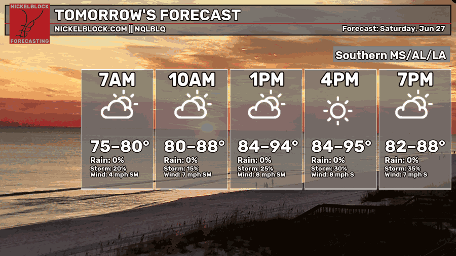
We’re in for another hot day tomorrow, with high temperatures getting into the mid 90s in some spots. The temperature forecast has gotten a bit hotter since yesterday.
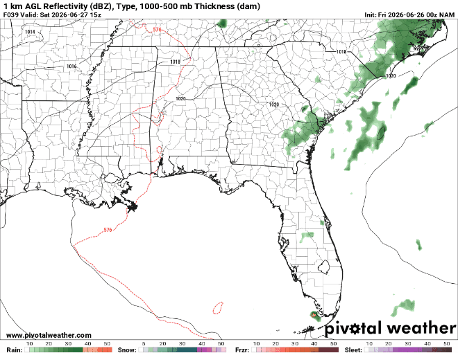
As for thunderstorm development tomorrow, well… there doesn’t look like much. There’s a few different reasons this could be, but the most likely one is that there’s an area of warm and dry air above the surface which is preventing thunderstorms from deepening too much.
Since yesterday, the models have backed off on the chance of thunderstorm development on Saturday.


