To kick off our weekend, expect hot and humid conditions with little relief as a high-pressure system in the Northern Gulf kills our rain chances for today.
Temperatures will be sitting in the lower 90s across most of our region, and with this high-pressure/heat dome system rolling in, expect this to be the norm for the next week or so.
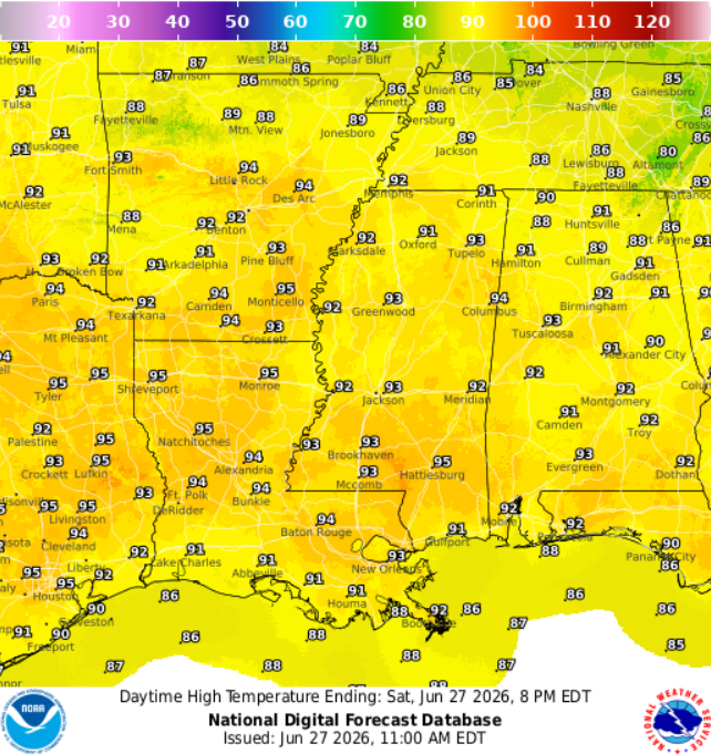
Overall, little has changed since yesterday’s forecast. Temperatures will continue to climb into the lower 90s, with low chances of rain over the next few days. No significant changes have been made, and we can expect this pattern to continue into next week.
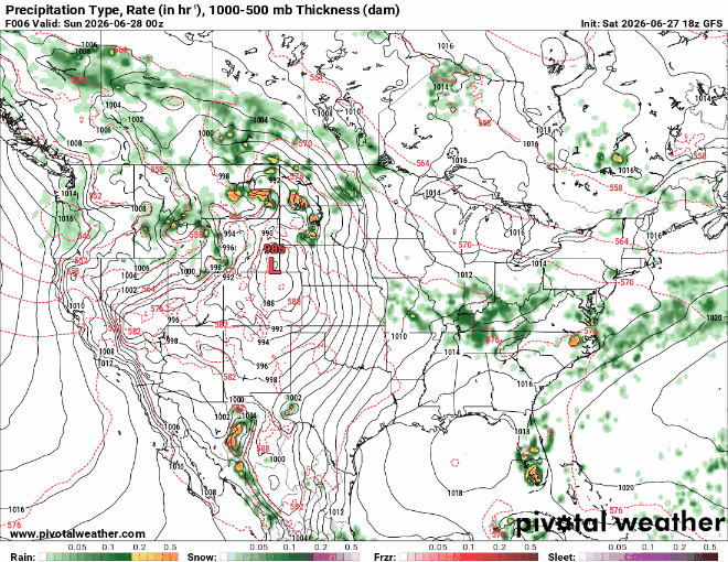
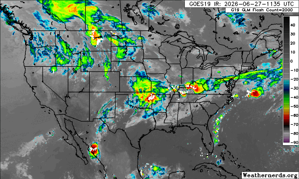
The above radar clearly shows the lack of precipitation for the next few days, mainly because rainfall and cloud formation will be suppressed by the incoming high-pressure system hanging off the Mississippi coast.
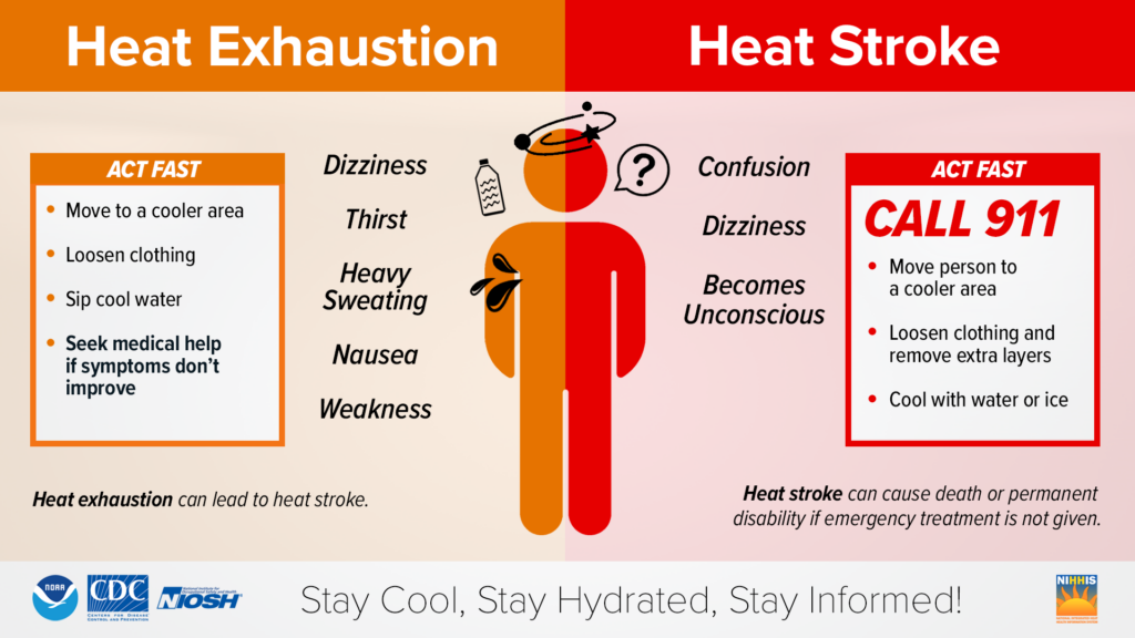
With this summer heat dominating the forecast, the risk for heat-related illnesses is high. Ensure you understand the risks and symptoms associated with hyperthermia and other heat stress injuries to keep you and your family safe this summer.