Howdy!
The National Hurricane has marked an area off the southeast coast of the United States for a 20% chance of development within the next 7 days.
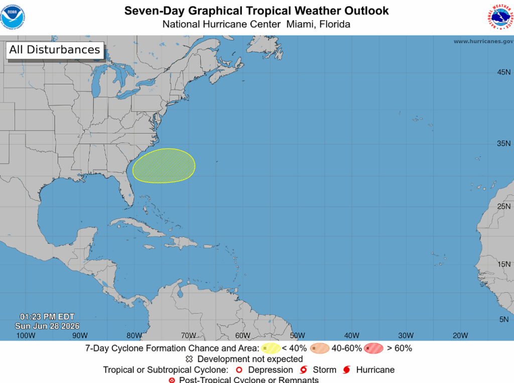
A broad area of low pressure is expected to develop in this area on the western portion of a frontal system by Tuesday. Gradual development of this system is expected, but by the end of the week, conditions become less favorable to support further development.
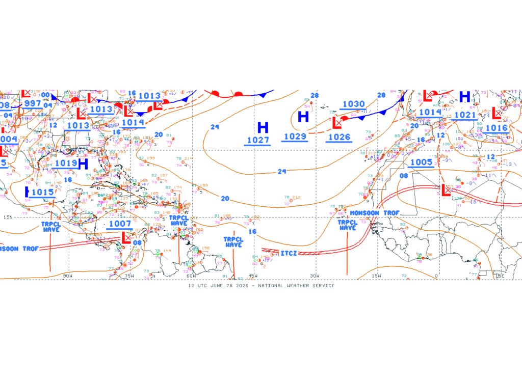
The latest surface analysis has marked some tropical waves in the far eastern Atlantic to the Caribbean Sea. These waves will not impact us in the southeast U.S. in the upcoming week. We can also see the high pressure near our region that is keeping temperatures hot for the coming week.
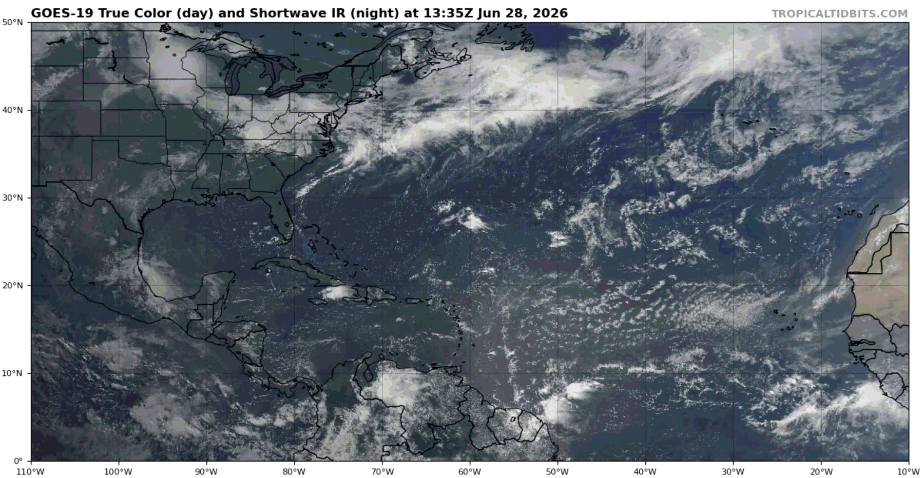
Some convection associated with a couple tropical waves is observed, supporting strong winds over the ocean. This convection is not likely to develop into any tropical disturbances.
The area marked off the coast of the southeast United States will continue to be monitored as the week progresses. Keep checking back for updates, but other than that, there is not a lot going on in the Atlantic. Enjoy the rest of your Sunday!


