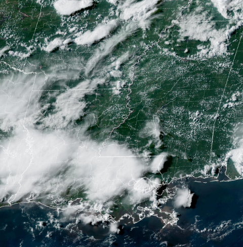
Scattered showers and thunderstorms are ongoing across southeastern Louisiana, and you can spot them below on the latest satellite imagery. You can also see some pretty cumulus clouds across central and southern Mississippi.
Hazards with these storms include heavy rainfall, wind gusts in excess of 40 mph, small hail, and frequent cloud-to-ground lightning. Also, be sure to watch for water on the roads!
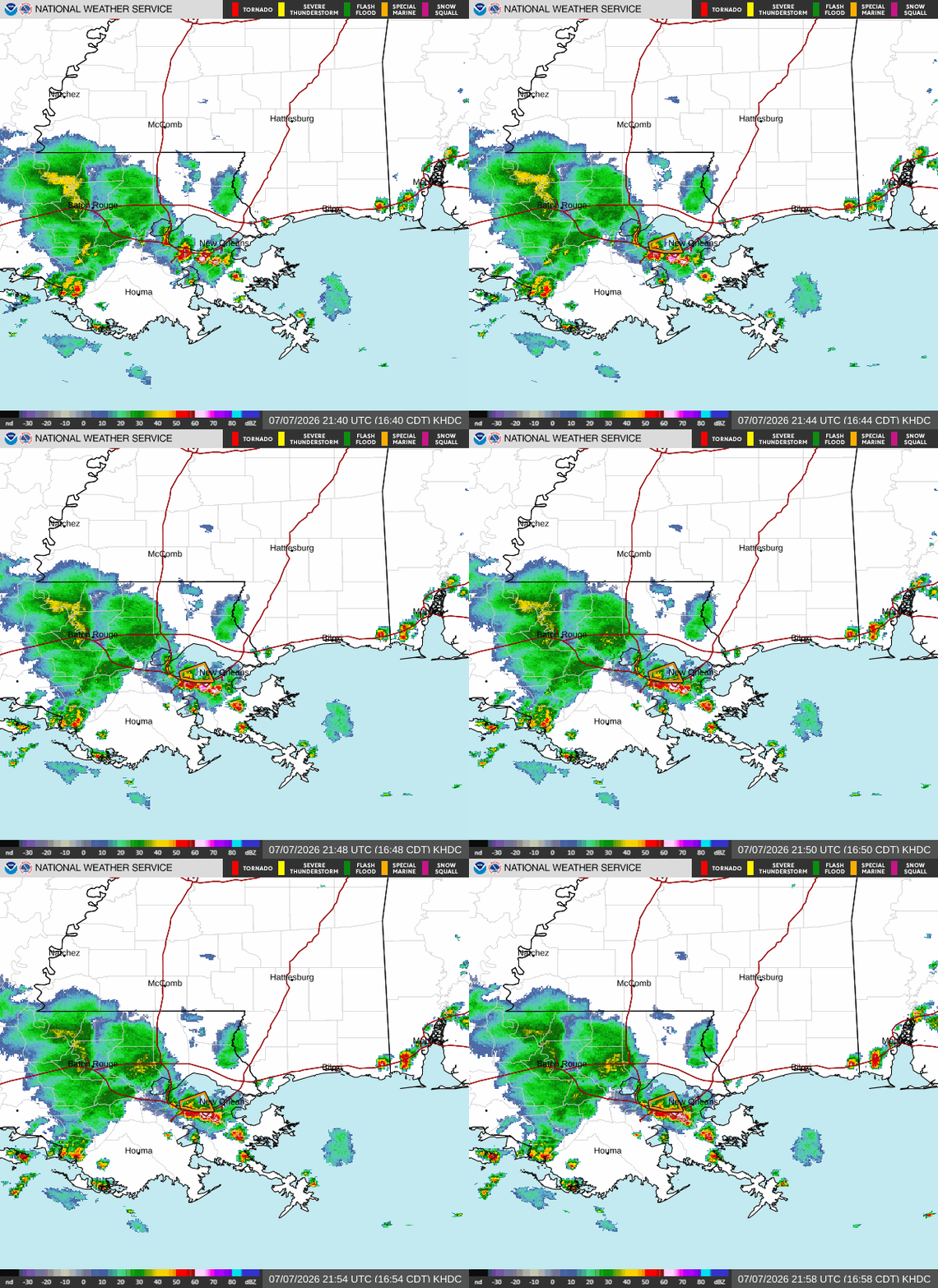
They’re expected to continue this evening along coastal Louisiana and Mississippi before slowly weakening and diminishing after sunset, with mostly quiet weather conditions overnight.
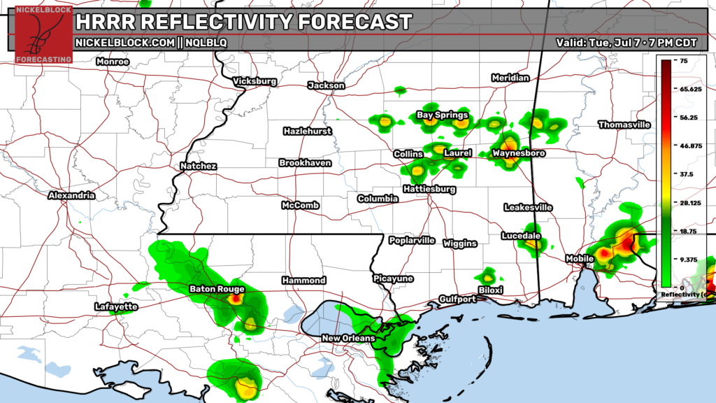
Also, those near Bay Springs, Waynesboro, and Quitman should be on watch for a quick pop-up storm this evening, as a few of the cumulus clouds across the region could cluster and grow into a storm, as hinted by the short-range HRRR model.